1.8 km away
Niederer Rumpler
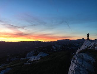
Hike to an exposed point above the Gjald Alm Hut.
Severe Hiking
- Distance
- 4.3 km
- Ascent
- 283 m
- Descent
- 283 m
Heilbronn circular hiking trail at Krippenstein
Hiking Easy

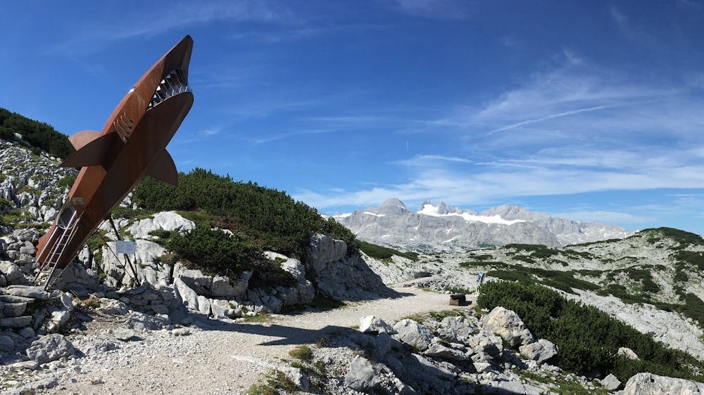
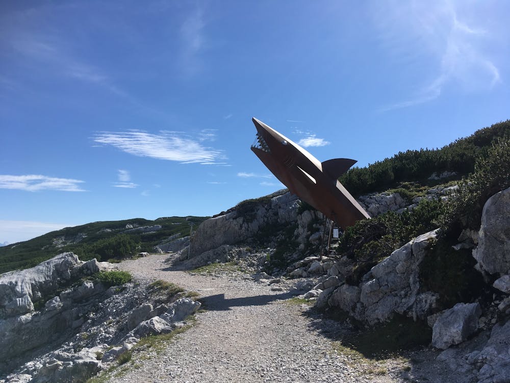
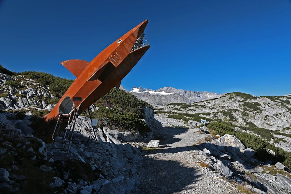
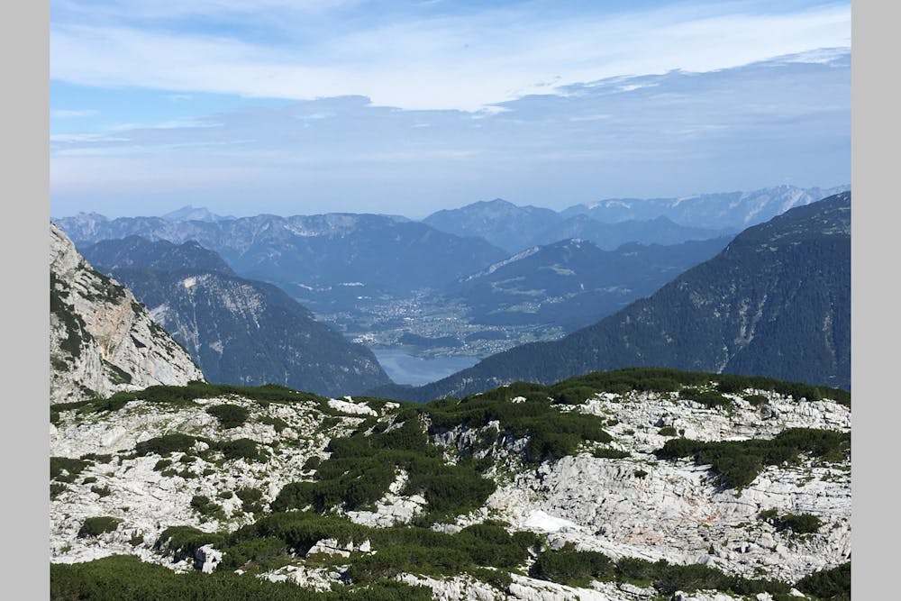
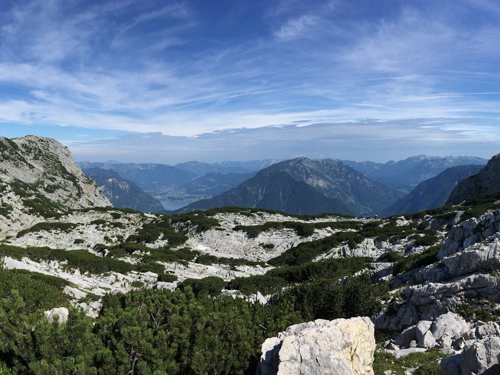
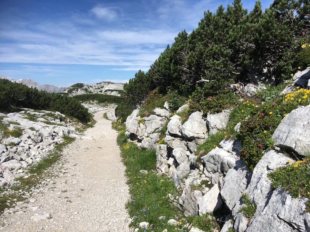
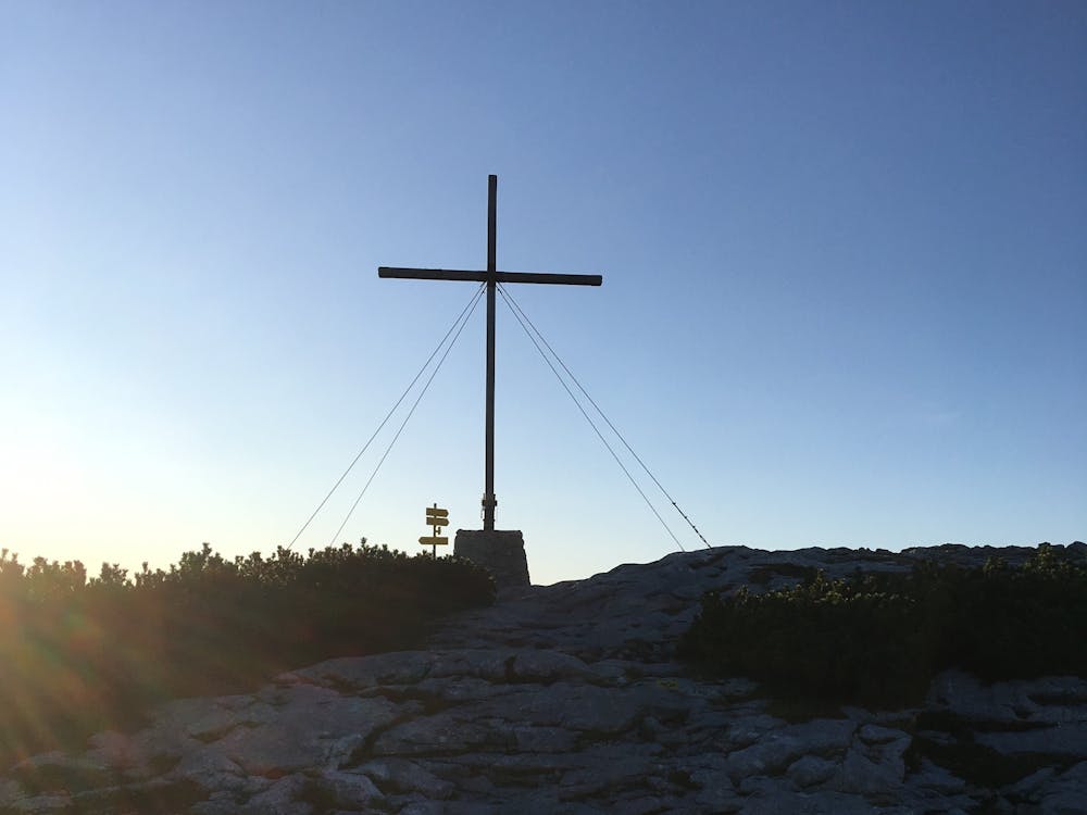
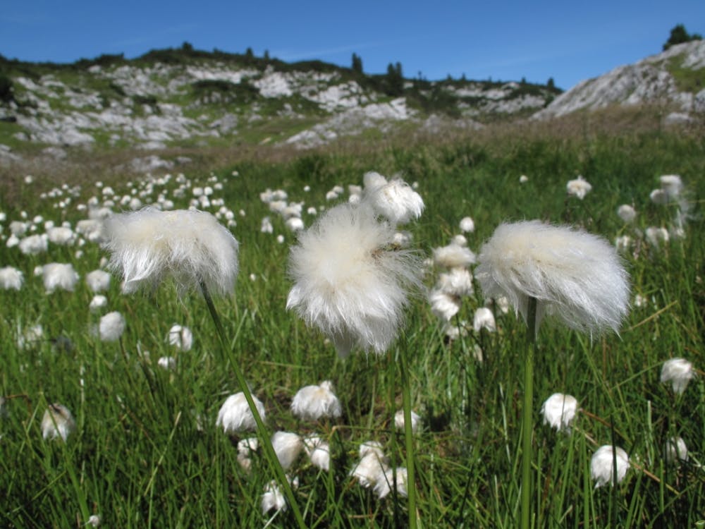
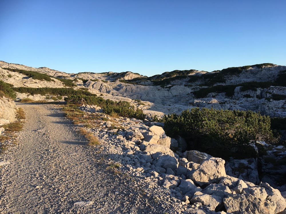
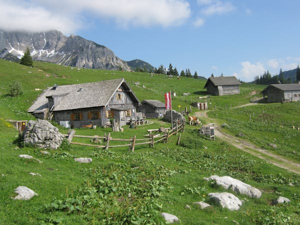
From Obertraun (510 m) we climb the Dachstein Krippeinstein cable car to an altitude of 1,600 metres. From the Krippenstein (2,100 m) we overlook the incredibly wide Dachstein plateau. From there the well-developed path leads us over hilly terrain, which is densely overgrown with Legföhren (mountain pines), in approx. 1.5 hours to the Heilbronner Kreuz. This cross commemorates the tragedy at the Dachstein on Good Friday 1954, when 10 pupils from Heilbronn and 3 teachers died during a hike to the Dachstein massif during a sudden fall in the weather. We walk the beautiful path in western direction - past the Hirzkar lake - to Krippeneck to the Gjaid station of the Dachstein Krippenstein cable car (another 1.5 hours) and after the station we take the 15-minute walk in order to refresh ourselves on the terrace of the Gjaidalm. After the refreshment we drive with all three sections of the cable car over the Krippenstein back into the valley! Special tip: Make a stopover at the Krippenstein. Take another 2 hours and visit the viewing platform "5fingers" and the World Heritage Spiral. They will be rewarded with a fantastic view of the entire World Heritage region. The Lodge am Krippenstein also takes care of your physical well-being. Height difference approx. 400 m proposed hiking route approx. 8 km Total walking time approx. 3 hours;

Order hiking maps to the Dachstein Salzkammergut region ...
( http://dachstein.salzkammergut.at/kartenbestellung.html ) To the 360° Panorama Tour through Obertraun ... ( https://www.dachstein-panorama.at/?s=pano68570&utmsource=tourdata&utmmedium=textlink&utmcampaign=tourdata360tour ) ( http://dachstein.salzkammergut.at/kartenbestellung.html )
Mountain rescue: 140
equipment
Easy
Walking along a well-kept trail that’s mostly flat. No obstacles are present.
1.8 km away
Hike to an exposed point above the Gjald Alm Hut.
Severe Hiking
7 routes · Hiking