Dachsteinrunde rote Variante - Etappe 2
Dachstein Salzkammergut
The tour through three federal states around the Dachstein - only one degree of difficulty harder. This additional kick is achieved by driving in the opposite direction of the blue tour. From Bad Goisern you go first to Gosau, then over the Ennstal to Ausseerland and from there back to Bad Goisern.
Also in Salzburg, Austria • Steiermark, Austria
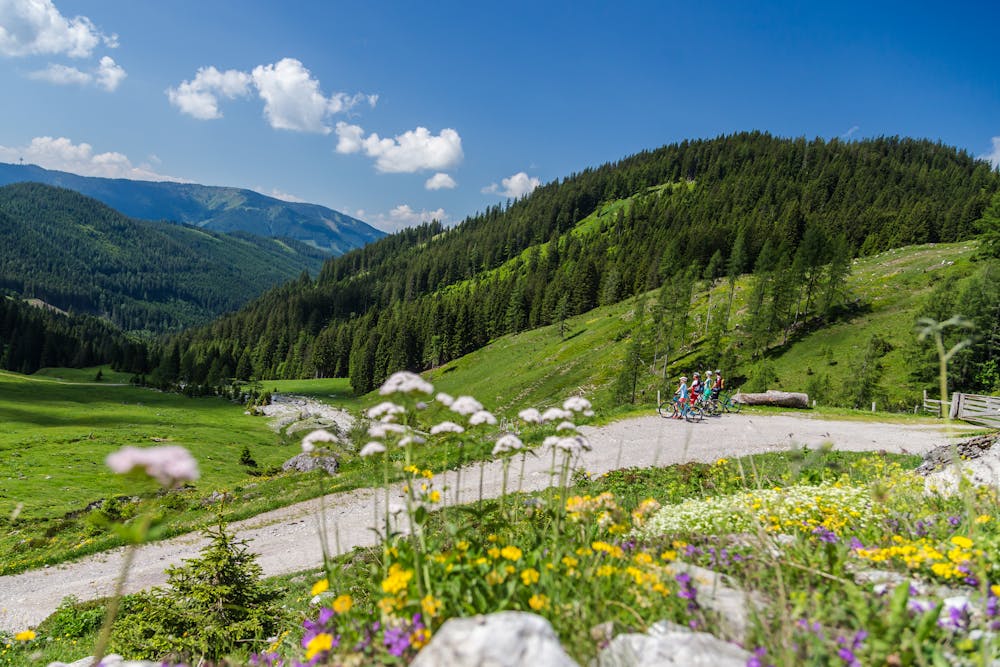
Mountain Biking Severe
- Distance
- 69 km
- Ascent
- 2 km
- Descent
- 1.9 km
- Duration
- 6-7 hrs
- Low Point
- 671 m
- High Point
- 1.3 km
- Gradient
- 8˚
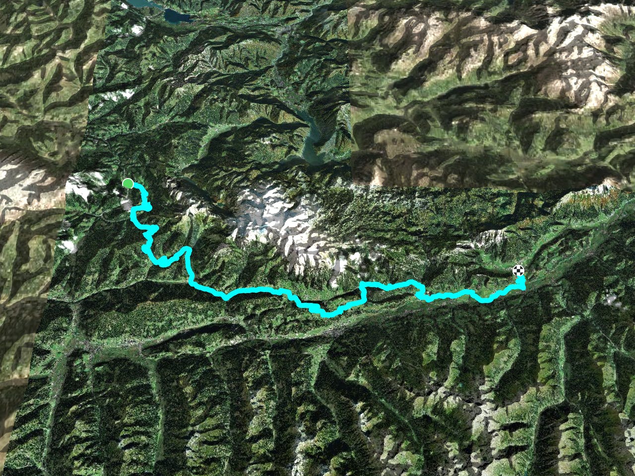
Annaberg, Neuhaus, Langeggsattel, Neuberg, Marcheggsattel, Filzmoos, Schildlehen, Ramsau a. Dachstein, Kulmberg, Kulm, Lodenwalker, Weißenbach, Assach, Pruggern, Moosheim, Gröbming (The tour is identical with the tour around the Dachstein in blue variant stage 2 in reverse direction) http://dachstein.salzkammergut.at/: "Order a map of the Dachstein Round ..." "To the 360° Dachstein Salzkammergut Panorama Tour ...
Difficulty
Severe
Widely variable, narrow trail tread with steeper grades and unavoidable obstacles of 15in/38cm tall or less. Obstacles may include unavoidable bridges 24in/61cm wide or less, large rocks, gravel, difficult root sections, and more. Ideal for advanced-level riders.