172 routes · Hiking · Mountain Biking · Alpine Climbing · Trail Running · Freeride Skiing

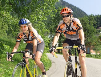
Go mountain biking in Oberösterreich with curated guides of the best bike trails across the region. With over 194 3D trail maps in FATMAP, you can easily discover and navigate the best trails in Oberösterreich.
No matter what your next adventure has in store, you can find a guide on FATMAP to help you plan your next epic trip.
Get a top mountain bike trail recommendation in Oberösterreich from one of our 2 guidebooks, or get inspired by the 194 local adventures uploaded by the FATMAP community. Start exploring now!
172 routes · Hiking · Mountain Biking · Alpine Climbing · Trail Running · Freeride Skiing

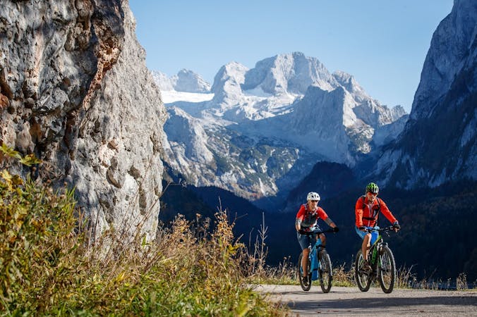
Salzkammergut Trophy A Strecke
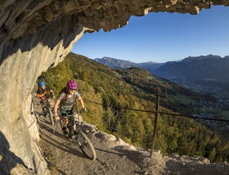
Extreme Mountain Biking
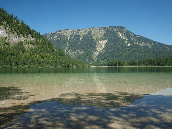
A beautiful tour through the Koppental.
Severe Mountain Biking
The third way to reach the Hoisnradalm is directly from the town centre of Bad Ischl via the forest road Brunnleiten and the Reinfalzalm. For the way back the selective descent via the Bad Ischler Salzberg to the parking lot of the show mine is planned.
Difficult Mountain Biking
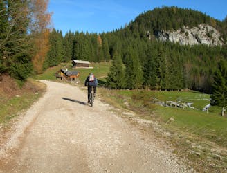
The starting point this time is the imperial town of Bad Ischl. From the Gasthof Rettenbachmühle, the route is first leisurely and then steeper uphill to the Hoisnradalm. The same route or the route Hoisnrad 3 is suitable for the return journey.
Difficult Mountain Biking
More information about the new Gravelbik routes coming soon!
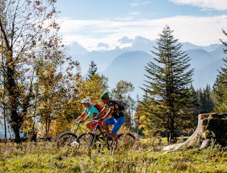
Moderate Mountain Biking
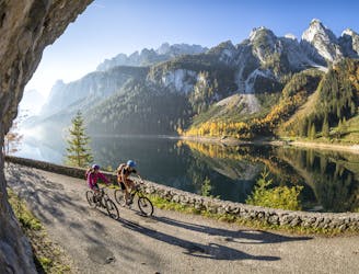
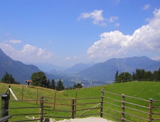
The Dachstein Circuit through three federal states around the highest mountain in Upper Austria is in itself a special highlight for mountain bikers. In the black version with the highest degree of difficulty, however, it inspires with additional singletracks as a challenge for technically experienced bikers.
Extreme Mountain Biking
The Dachstein Circuit through three federal states around the highest mountain in Upper Austria is in itself a special highlight for mountain bikers. In the black version with the highest degree of difficulty, however, it inspires with additional single trails as a challenge for technically experienced bikers.
Extreme Mountain Biking
The tour through three federal states around the Dachstein - only one degree of difficulty harder. This additional kick is achieved by driving in the opposite direction of the blue tour. From Bad Goisern you go first to Gosau, then over the Ennstal to Ausseerland and from there back to Bad Goisern.
Severe Mountain Biking
5 routes · Mountain Biking