Dachsteinrunde schwarze Variante - Etappe 3
Dachstein Salzkammergut
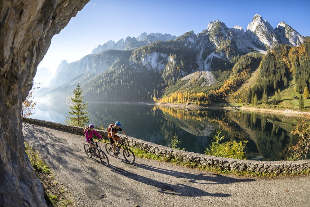
The Dachstein Circuit through three federal states around the highest mountain in Upper Austria is in itself a special highlight for mountain bikers. In the black version with the highest degree of difficulty, however, it inspires with additional singletracks as a challenge for technically experienced bikers.
Also in Salzburg, Austria
Mountain Biking Extreme
- Distance
- 84 km
- Ascent
- 2.8 km
- Descent
- 3.1 km
- Duration
- 1 day +
- Low Point
- 509 m
- High Point
- 1.5 km
- Gradient
- 13˚

Route history: Annaberg, Schindlmais, Klockau, Radlerwirt, Duftholz, Gschwandtleiten, Klockaualm, Hornspitz, Mooselalm, Russbach, Pass Gschütt, direction Iglmoosalm, Gosau, Hintertal, Vd. Gosausee, Ebenalm, Vd. Grubenalm, Roßalm, Durchgangalm, Waldstrub, Lahn, Hallstatt, Gosauzwang, Bad Goisern http://dachstein.salzkammergut.at/: "Order a map of the Dachstein Round ..." "To the 360° Dachstein Salzkammergut Panorama Tour ...
Difficulty
Extreme
Very steep, difficult, narrow singletrack with widely variable and unpredictable trail conditions. Unavoidable obstacles could be 15in/38cm tall or greater, and unavoidable obstacles with serious consequences are likely to be present. Obstacles could include big rocks, difficult root sections, drops, jumps, sharp switchbacks, and more. Ideal for expert-level riders.