Jochwand Salzalpentour Bad Goisern
Dachstein Salzkammergut
Just 3 to 4 hours and still looking for a hike with a great view? Then the Jochwandtour is an ideal lap for a fast but beautiful hiking experience. The path was even certified by the German Hiking Institute.
Mountain Biking Difficult
- Distance
- 6.9 km
- Ascent
- 367 m
- Descent
- 367 m
- Duration
- 0-1 hrs
- Low Point
- 496 m
- High Point
- 806 m
- Gradient
- 16˚

This is a popular mountain biking route which is generally considered to be difficult. It's not remote, it features unknown exposure and is typically done in an unknown time of year. From a low point of 496 m to the maximum altitude of 806 m, the route covers 6.9 km, 367 vertical metres of ascent and 367 vertical metres of descent.
Description
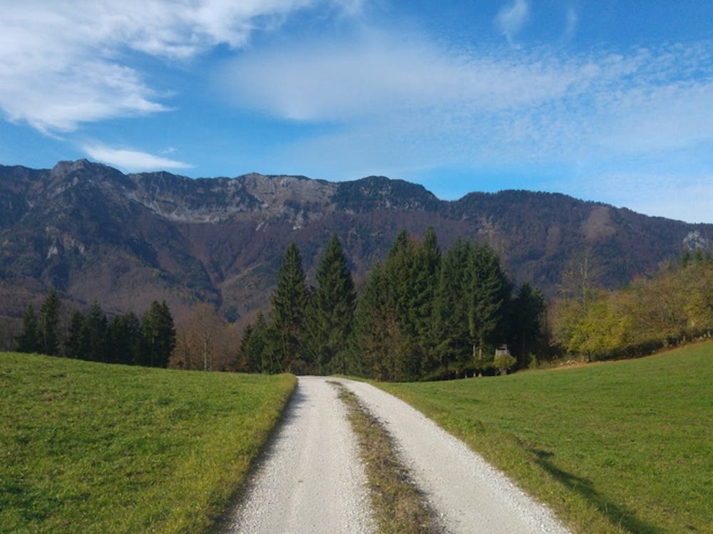
The hike up to the Jochwand is also popular with the locals as it is really fast at the lookout point. This tour takes us from the quaint Gasthof Rassingmühle to Weissenbach up to the Jochwand on a beautiful hiking trail and then back down to Unterjoch.
Difficulty
Difficult
Mostly stable trail tread with some variability featuring larger and more unavoidable obstacles that may include, but not be limited to: bigger stones, roots, steps, and narrow curves. Compared to lower intermediate, technical difficulty is more advanced and grades of slopes are steeper. Ideal for upper intermediate riders.
Remoteness

Close to help in case of emergency.