5 routes · Mountain Biking
*The Trophy Training Track F is not only an ideal training track to prepare for the Salzkammergut Mountain Bike Trophy. Thanks to the beautiful route, the mountain bike tour is ideal for learning to ride Bad Goisern and the Salzkammergut from its most beautiful side. *
Mountain Biking Moderate

Highlight of the Trophy Training Track F:
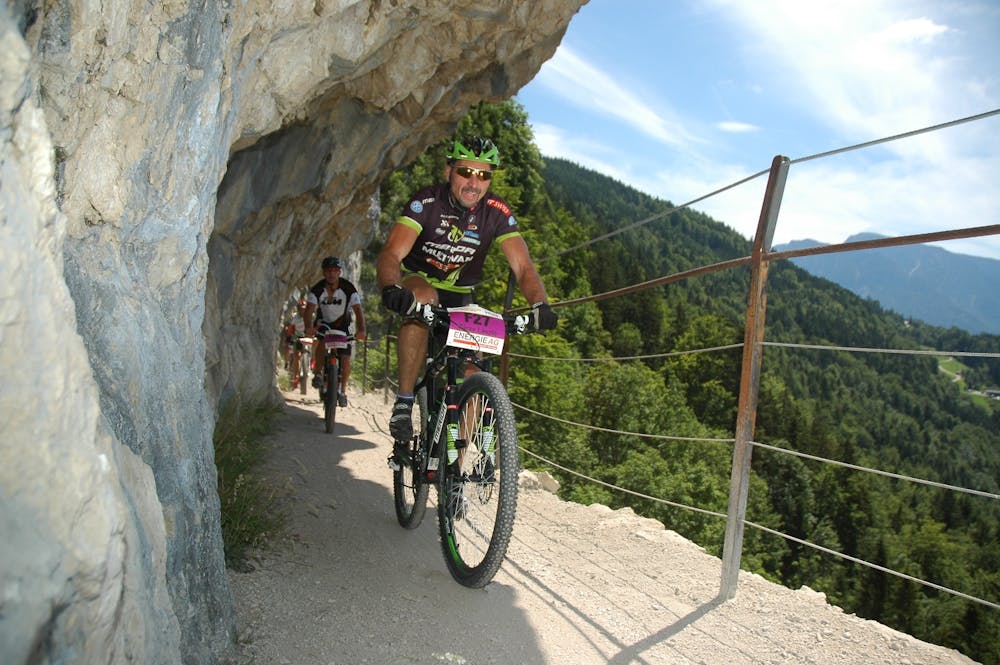
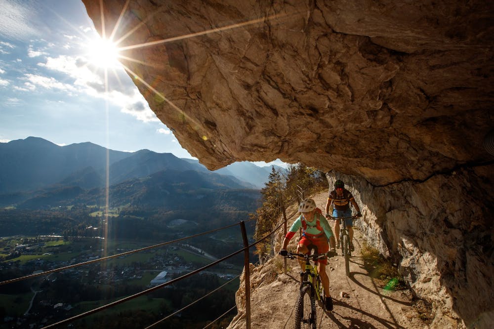
-------------------------------------------------------------------------------------------------------- The eternal wall in Bad Goisern with its spectacular tunnels and the view of Lake Hallstatt --------------------------------------------------------------------------------------------------------
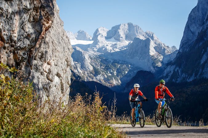
The Salzkammergut Mountain Bike Trophy is well known to us as passionate mountain bikers. Therefore it is obvious to use the routes of Austria's biggest mountain bike marathon all year round. The tour offers some scenic highlights. During the ascents you can enjoy the mountains and the lake around Bad Goisern. Refreshment stops like the Rathluckenhütte or the Weißenbachwirt are also ideal for a culinary stop along the route. As an absolute mountain bike highlight, the famous Ewige Wand, including the subsequent soft trail, awaits you.
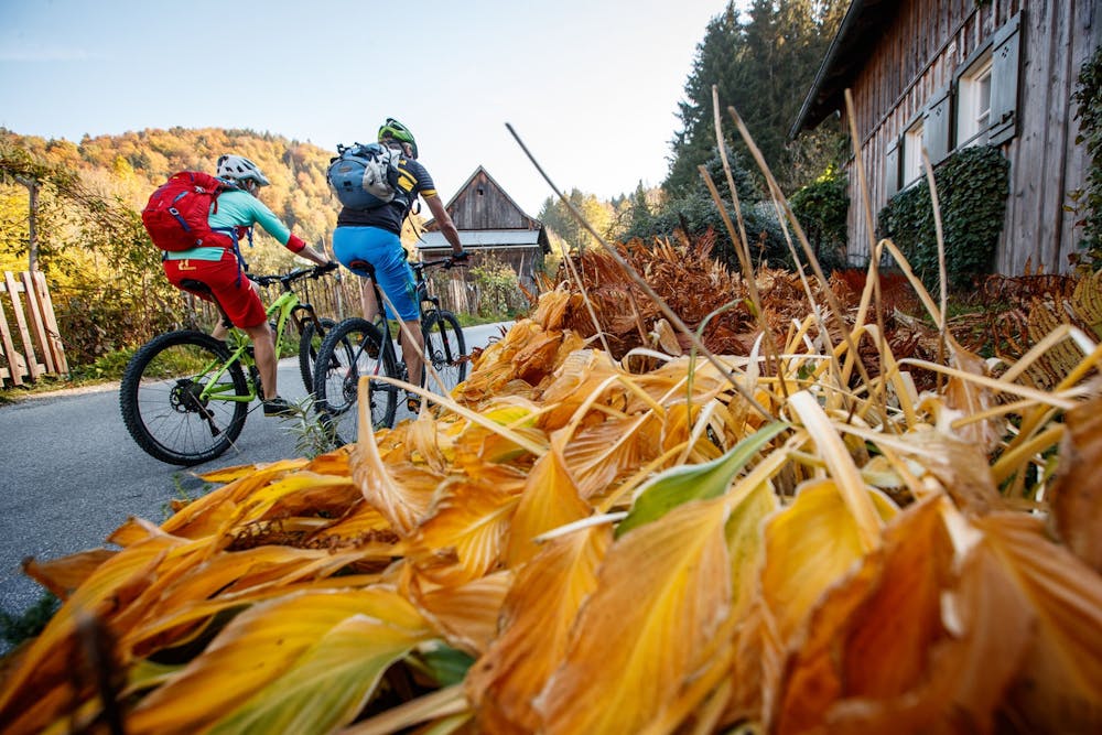
We start at the market place of Bad Goisern on the Hallstättersee out of town in southern direction and drive over the Villages Wiesen and Herndl 5 km up to Rehkogl. At the crossing we turn turn left to Riedln where we turn right at the crossroads uphill for about 2 km to Rathluckn Cabin drive. At the hut we turn right onto the Sagenweg. Through the Eternal Wand Höhenweg we take a forest road which we follow downhill for 500 m and then Turn sharp left onto a 1 km long forest trail. If we follow the forest road a second times, we turn right onto this and follow it to the Anzenaumühle where we we follow the road for 1 km to the bridge, which we cross. After the bridge we follow the cycle path upstream 1.8 km to Weißenbach. In Weißenbach we turn at the GH Chorinskyklause turn right and follow the forest road on the right 7.5 km to the Brunntalalm. Here we keep left and after 1.5 km turn right towards Kellergraben/Hochmuth. After 4 km we reach the highest point of the route at 950 m above sea level. It follows a Trail down to Stainach on the Muthstraße which we follow to the Bachgrabenstraße where we turn right after 500 m onto Ramsaufelderweg. Afterwards we turn right onto Ramsaustraße which we follow for 1.3 km in the direction of Steeg. Now we turn left and drive in the direction of the Hinlaufstraße up to the Goisererbrücke.
To the 360° panorama tour through Bad Goisern ... ( https://www.dachstein-panorama.at/?s=pano57984&utmsource=tourdata&utmmedium=textlink&utmcampaign=tourdata360tour )
Moderate
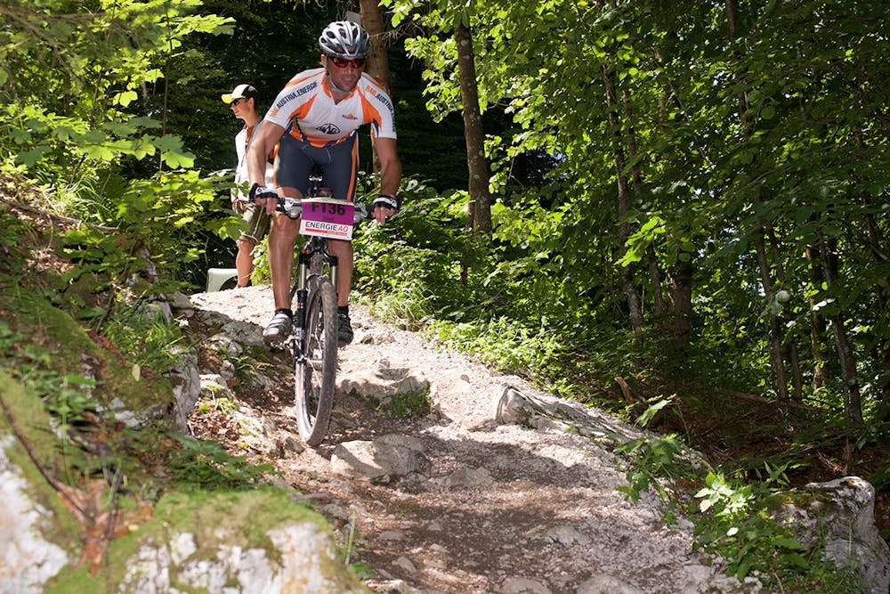
Mostly stable trail tread with some variability, with unavoidable obstacles 8in/20cm tall or less. Other obstacles such as rock gullies and steep sections may exist. Ideal for lower intermediate riders.
5 routes · Mountain Biking