6 km away
Brennerköpfl
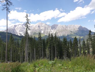
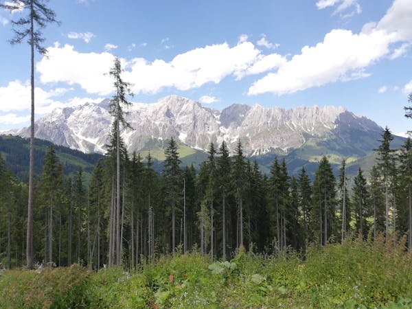
Explore the forests and enjoy some epic views of the Wilder Kaiser.
Moderate Hiking
- Distance
- 8.8 km
- Ascent
- 460 m
- Descent
- 460 m
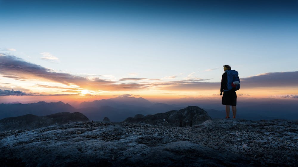
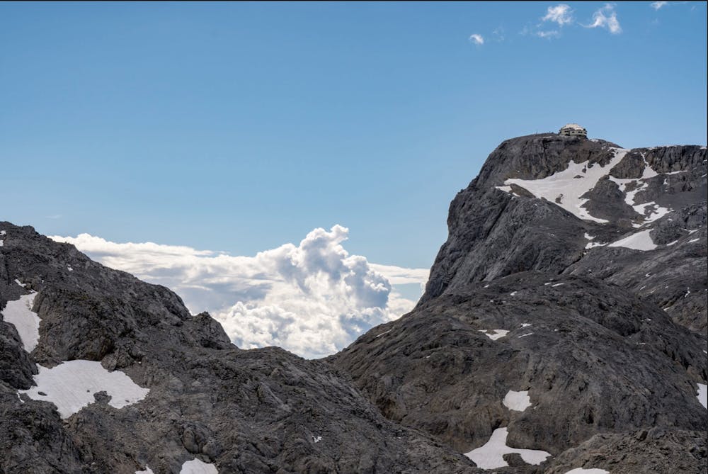
A long and rewarding hike to the summit of Hochkönig
Hiking Moderate

An incredible, ever-changing hike that takes you to the top of Hochkönig, a famous landmark and a beautiful peak.
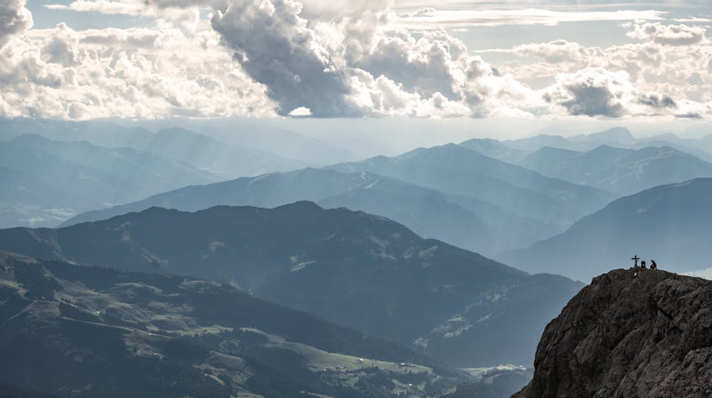


Parking at Arturhaus, the signposted trail takes you past a farm and a hut up onto the rocky winding trail into the mountains. You'll pass the tall Torsäule face, a great wall for climbing. There may be some climbers on the wall and (if you've got good eyes and/or binoculars) you should be able to pick out a few of them snaking their way up the famous face.
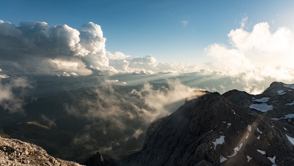
After the winding trail you'll come out onto the main plateau, which is barren, full of bare rock and filled with icy glacial pools.
Eventually you'll see the Matrashaus in the distance, before ascending a metal staircase up a steep rock wall onto the final section.
From the top you'll have stunning views over the valley.
You can stay the night at Matrashaus, but definitely reserve your place in advance as it can be popular and get booked up. Whether you stay the night or not, you can choose whether to descend this route, or head east down to Hinterthal.
Moderate
Hiking along trails with some uneven terrain and small hills. Small rocks and roots may be present.

The trail contains some obstacles such as outcroppings and rock which could cause injury.
Away from help but easily accessed.
6 km away
Explore the forests and enjoy some epic views of the Wilder Kaiser.
Moderate Hiking
3 routes · Hiking