4.6 km away
Goldeggsee
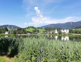
A cruisy walk above and alongside a lovely little lake.
Easy Hiking
- Distance
- 2.5 km
- Ascent
- 79 m
- Descent
- 79 m

Explore the forests and enjoy some epic views of the Wilder Kaiser.
Hiking Moderate

Despite being a straightforward hike, the length and roughness of the drive to this trip make it feel disproportionally wild and remote.
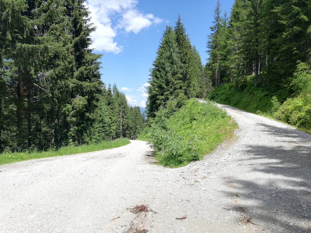
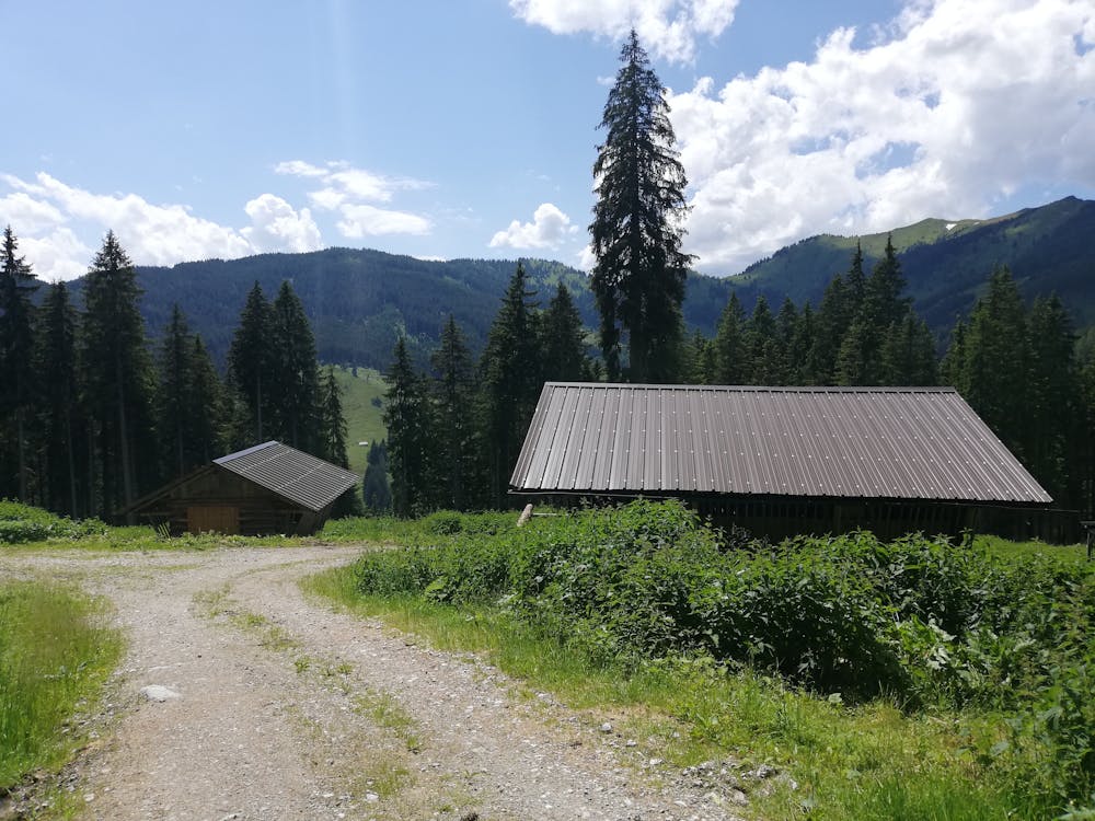
Make the long, windy and bumpy journey to the wonderful Althausalm mountain hut and park up at the small carpark just beyond this. If the carpark is full, there's another parking area 1km back the way you came.
The Althausalm itself is utterly wonderful - it enjoys a fabulous view, has a couple of rabbits for the kids to pet and serves beautiful platters of homemade bread, cold meats and cheese. It doesn't appear to have a kitchen so it doesn't sell any hot food - if you're after haute cuisine then consider eating somewhere else. If, on the other hand, beautiful local produce served on a wooden plate is your thing, you'll love the Althausalm.
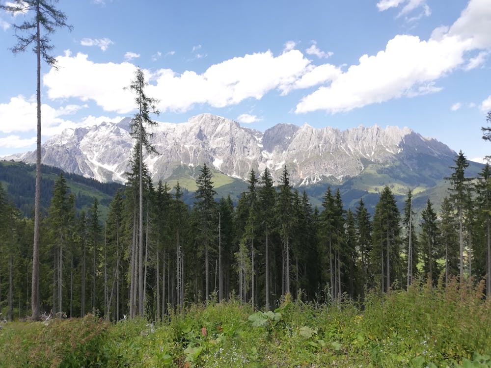
Suitably full of good food, head back along the track you drove up and then cut off it and head north on a good path. Follow this as it winds up to a series of clearings, each of which enjoys a truly spectacular view of the Wilder Kaiser range. The mountains which make up the Wilder Kaiser are amongst some of the most dramatic and awe-inspiring in Austria so enjoy studying them and picking out some of their amazing features.
At the northern edge of this loop swing back around and begin to climb up towards the Brennerköpfl. The ascent is simple enough but can feel pretty sweaty on a hot day - make sure you've brought plenty of water with you!
Once on the summit there is yet another series of excellent views and then from there it's a brief trip back down the way you came and then a stroll back down to the Althausalm, where you can replenish any calories you might have burned on your hike!
Moderate
Hiking along trails with some uneven terrain and small hills. Small rocks and roots may be present.
4.6 km away

A cruisy walk above and alongside a lovely little lake.
Easy Hiking
5.9 km away
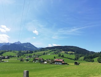
A peaceful loop through quiet forests.
Moderate Hiking
6 km away
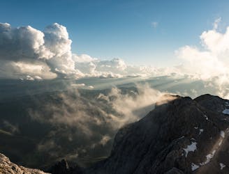
A long and rewarding hike to the summit of Hochkönig
Moderate Hiking
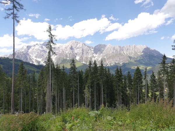
3 routes · Hiking