
Speikkogel Loop
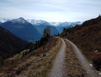
A beast of a trip around some wild and rugged mountains.
Severe Hiking
- Distance
- 16 km
- Ascent
- 815 m
- Descent
- 1.3 km
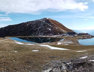
A gorgeous peak which is easily accessed.
Hiking Moderate

The Wildkogelbahn cable car turns this hike from an epic, high-mountain trip into a lovely half day stroll. You still get to stand on top of a gorgeous peak but in return for only 230 metres of vertical height gain, as opposed to 1000+ if you came up from the valley.
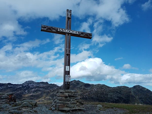
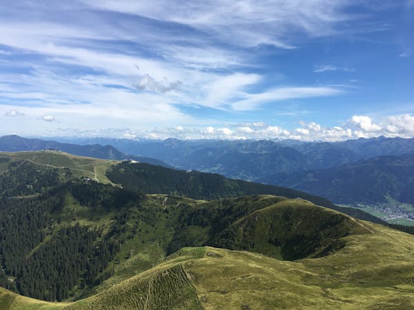
Leave the top station of the cable car and - having taken a few moments to savour the staggering view - follow a jeep track west and pass through the farm of solar panels which power much of the Wildkogel Arena's infrastructure. Keep following the jeep track as it passes the Wolkenstein restaurant and then begins climbing up to the top of the Gensbichalm chairlift. Shortly after passing the chairlift station the jeep track turns into a much smaller hiking path, which in turn leads you onto the summit of the Braunkogel. The view from the top is epic in just about every direction, with the snowy giants of the Hohe Tauern looking formidable to the south and the unmistakeable rocky bulk of the Großer Rettenstein off to the north-east.
There is the option to return via the same route but a more satisfying option is the one shown here. Head north off the summit and then drop off rightwards to pass (twice) under the cables of the Frühmesser X-Press chairlift and then under the cables of the Braunkogel and Wolkenstein draglifts before rejoining the ascent route next to the Wolkenstein restaurant.
Head back to the lift station and, if you're still feeling energetic, do the Wildkogel Panoramaweg!
Moderate
Hiking along trails with some uneven terrain and small hills. Small rocks and roots may be present.

The trail contains some obstacles such as outcroppings and rock which could cause injury.
Away from help but easily accessed.
A beast of a trip around some wild and rugged mountains.
Severe Hiking
900 m away
An easy cruise over the Wildkogel's eponymous summit.
Moderate Hiking
5 routes · Hiking

5 routes · Mountain Biking · Hiking

25 routes · Hiking
8 routes · Hiking