5 routes · Mountain Biking
A challenging and varied tour to one of the highest peaks in the Zell am See area.
Mountain Biking Difficult

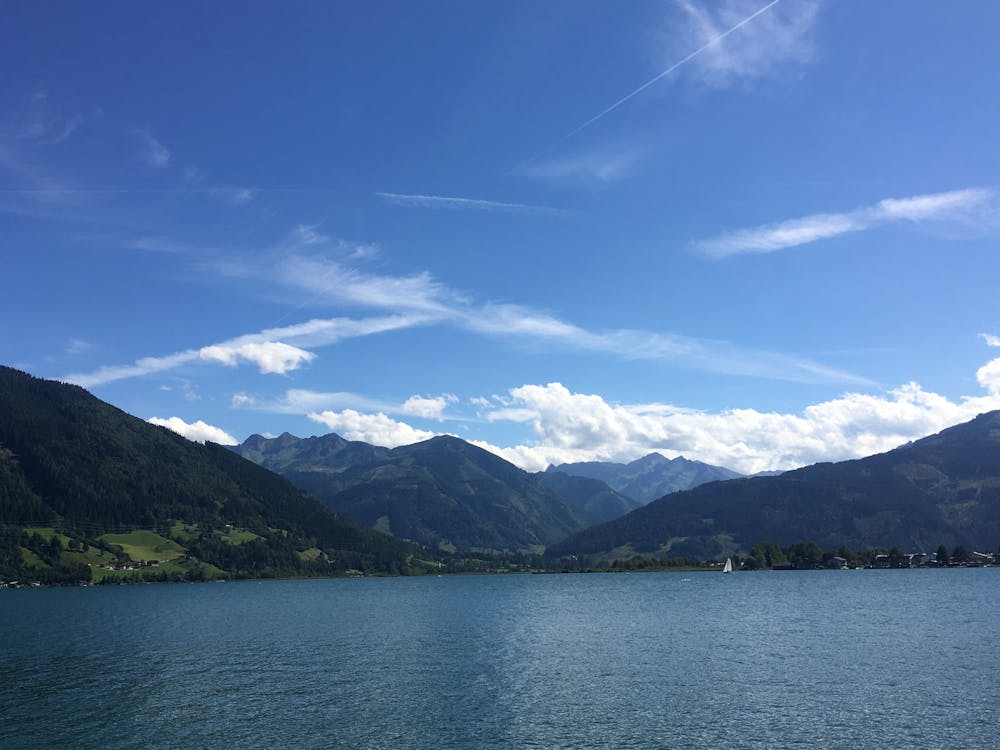
If you are looking for a challenging and rewarding mountain bike tour in the Salzburg region, the Hundstein loop is a great option. This tour takes you to the summit of the Hundstein, the highest grassy mountain in Europe that’s accessible by bike. From there, you can enjoy stunning views of Lake Zell, the Hochkönig massif, and the Hohe Tauern range.
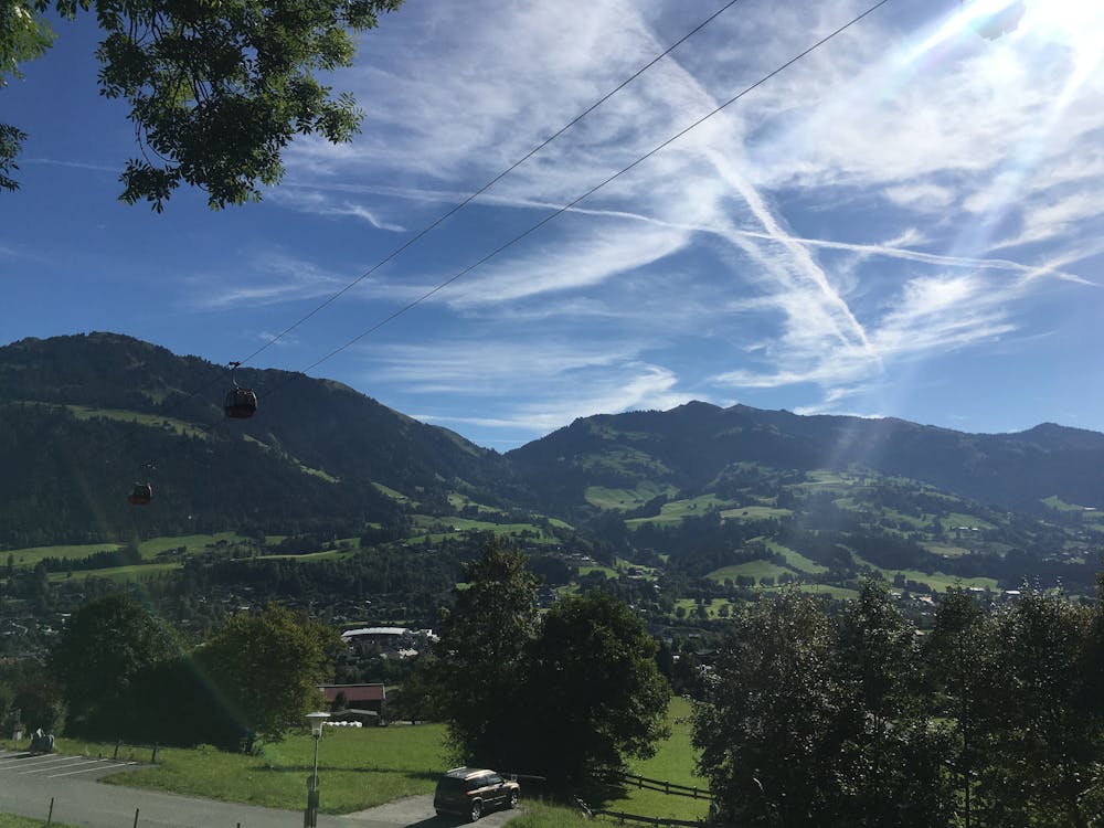
The tour starts in Saalfelden, a charming town at the foot of the Steinernes Meer plateau. You follow the bike path along the Saalach river until you reach Thumersbach, a village on the eastern shore of Lake Zell. Here, you leave the lake behind and start climbing steeply through the forest on a gravel road. The ascent is demanding, but you will be rewarded with glimpses of the lake and the surrounding peaks.
After about 15 km (9.3 mi), you reach the top of Schafkopf, a minor summit at 1829 m (5997 ft). You continue along a narrow ridge to the main attraction of the tour: the Hundstein. At 2117 m (6946 ft), this is the highest point of the tour and a great place to take a break and admire the panorama. You can also visit the Statzerhaus, a cozy mountain hut that offers food and drinks.
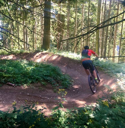
The descent from the Hundstein is thrilling and technical, with many steep sections, rocks, roots, and switchbacks. You need to be confident and skilled on your bike to tackle this part of the tour. You will drop about 1400 m (4593 ft) in 16 km (9.9 mi) until you reach Maria Alm, a picturesque village at the base of the mountain.
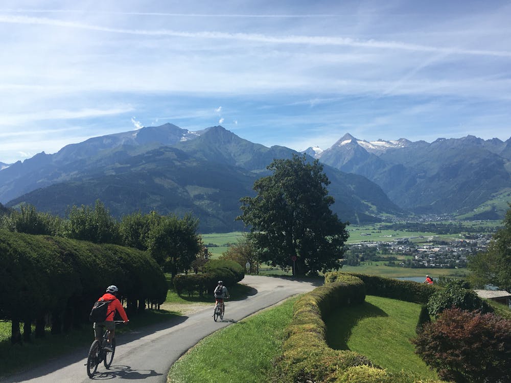
The last part of the tour is an easy and flat ride back to Saalfelden, passing through several small villages along the way. You can relax and enjoy the scenery as you complete this epic loop.
Difficult
Mostly stable trail tread with some variability featuring larger and more unavoidable obstacles that may include, but not be limited to: bigger stones, roots, steps, and narrow curves. Compared to lower intermediate, technical difficulty is more advanced and grades of slopes are steeper. Ideal for upper intermediate riders.

Some trail sections have exposed ledges or steep ascents/descents where falling could cause serious injury.

Away from help but easily accessed.
5 routes · Mountain Biking