294 m away
Tree run Hochwurzen

pillow lines - a little forest ride between the slopes
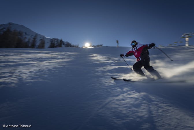
Moderate Freeride Skiing
- Distance
- 1.9 km
- Ascent
- 0 m
- Descent
- 569 m
Left of Gipfelbahn Hochwurzen there are powder turns to be had
Freeride Skiing Moderate

A treeline/free-field combination. You should be able to navigate through narrow tree sections if you want to ski this line - it's out of the resort and riding down the wrong direction might result in a walk or the need to hitch hike. It's a very rewarding run especially when the snow conditions are good. There are pillows, great views and you don't need to hike. The only problem is orientation: the best thing is to stay rider's left, and on subsequent runs you can trend slightly further right. If unsure take the next forest road you cross to your left. Because of the easterly aspect the morning sun might be quite strong later in the season and the snow melts fast.
Moderate
Slopes become slightly steeper at around 25-30 degrees.

Exposure is limited to that of the slope itself. Getting hurt is still likely if the slope is steep and/or the snow is hard.

Little chance of being seen or helped in case of an accident.
294 m away
pillow lines - a little forest ride between the slopes
Moderate Freeride Skiing
6.8 km away

Good for your first powder turns
Moderate Freeride Skiing
4 routes · Freeride Skiing