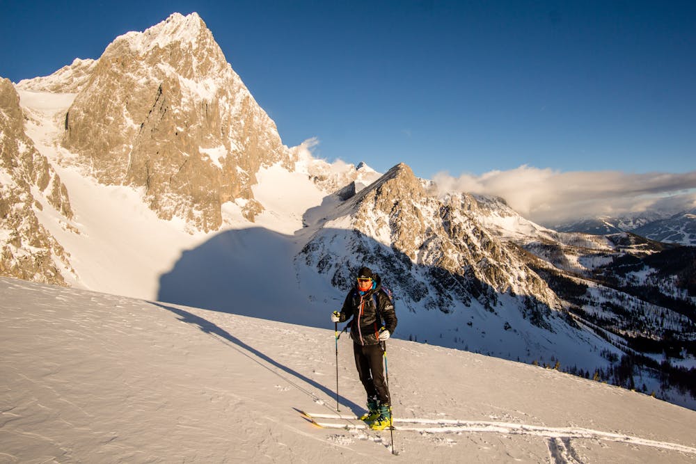
8.1 km away
Gasselhöhe Abfahrt

Steep and short with tricky entrance
Difficult Ski Touring
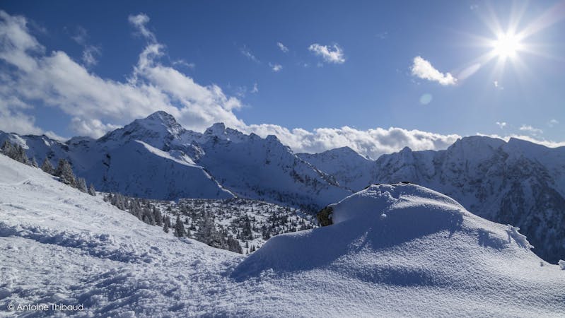
- Distance
- 2 km
- Ascent
- 172 m
- Descent
- 365 m
Easy tour for an afternoon
Ski Touring Moderate

Start in the forest direction Bachlalm, when reaching an open meadow continue straight into a larch forest. Turn slightly left into obvious gully, that will lead you to a final ridge. On the way down you can enjoy long turns on not a steep face. Second half of the descent pretty much copies the ascent route.
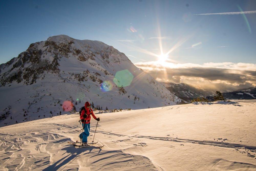
Moderate
Slopes become slightly steeper at around 25-30 degrees.

Exposure is limited to that of the slope itself. Getting hurt is still likely if the slope is steep and/or the snow is hard.
Close to help in case of emergency.
8.1 km away
Steep and short with tricky entrance
Difficult Ski Touring
3 routes · Ski Touring