9.2 km away
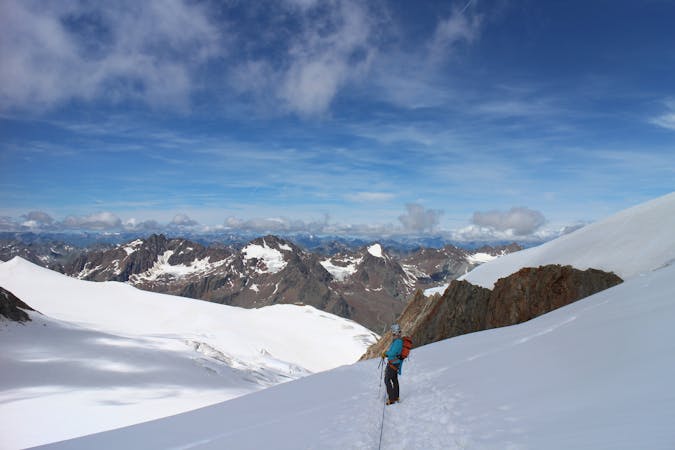
Wildspitze Traverse from the Breslauer Hütte
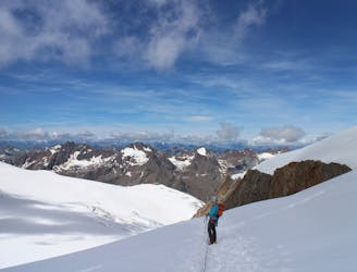
A classic high mountain traverse over the highest peak in the Tirol
Moderate Alpine Climbing
- Distance
- 11 km
- Ascent
- 910 m
- Descent
- 1.4 km
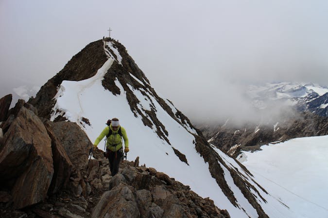
Two superb peaks in the Oetztal Alps, offering an easy tick for two 3000m summits in one day.
Alpine Climbing Moderate

Start from the Tiefenbachgletscher parking area at the end of the Gletscherstraße from Sölden and follow the path north-west for 20 minutes, indicated by red and white paint markers, until you reach the bottom of a rock buttress. Here you will see “911” painted low on the rock, and again slightly higher up. Here the route really begins, starting with some slightly exposed sections which are protected by metal chains.
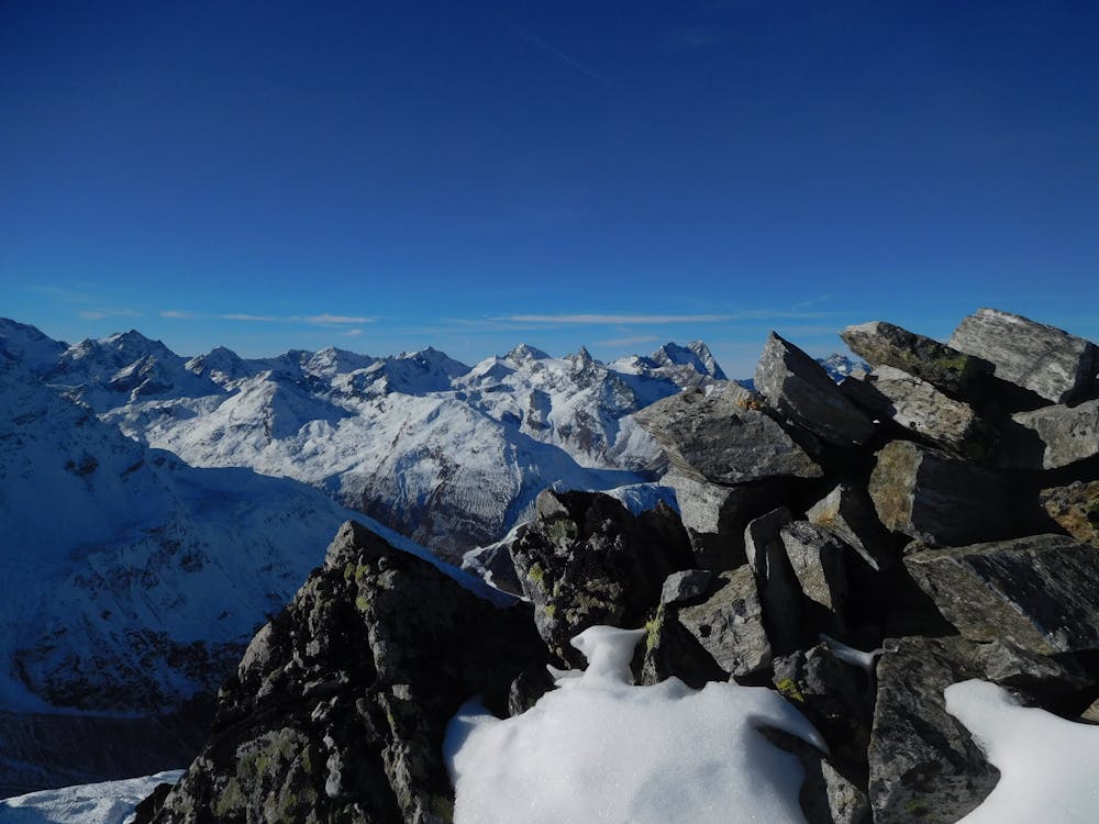
Follow these chains for 10 minutes to reach the Pollesjoch Col. From here descend briefly to the start of some more chains before starting to ascend again. Follow this path for 5 minutes to the Geigenkam ridge, which marks the middle point between the 2 Polleskogel summits. To the right is the Südlicher (southern) Polleskogel (sometimes marked as the Pollesfernerkopf) and the summit is reached via a short scramble, which is relatively easy yet quite exposed with no protection, so not for the faint-hearted.
From the summit, descend back to where the chains gave way to the ridge and continue along the Geigenkam ridge, heading for the Nordlicher (Northern) Polleskogel, the summit of which is just a 10 minute walk along an easy path. The scenery throughout the hike is spectacular and from both summits the views across the glaciers of the Sölden ski area are truly superb.
To descend, retrace your steps back to the Tiefenbachgletscher parking area, or alternatively it is possible to extend the route by descending via the Pollental valley, thus starting and finishing in different places rather than a there and back route.
Moderate
May involve slightly more complex glacier hikes, easy but possibly long rock ridges and steep snow up to 45 degrees. Equivalent to PD, PD+

The route features some exposed and/or difficult to protect sections.

Little chance of being seen or helped in case of an accident.
9.2 km away
A classic high mountain traverse over the highest peak in the Tirol
Moderate Alpine Climbing
9 routes · Alpine Climbing · Hiking
4 routes · Alpine Climbing · Hiking