5 km away
Polleskogel Peaks
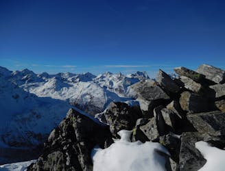
Two superb peaks in the Oetztal Alps, offering an easy tick for two 3000m summits in one day.
Moderate Alpine Climbing
- Distance
- 3.4 km
- Ascent
- 404 m
- Descent
- 404 m
über Taschachferner (PD/I)
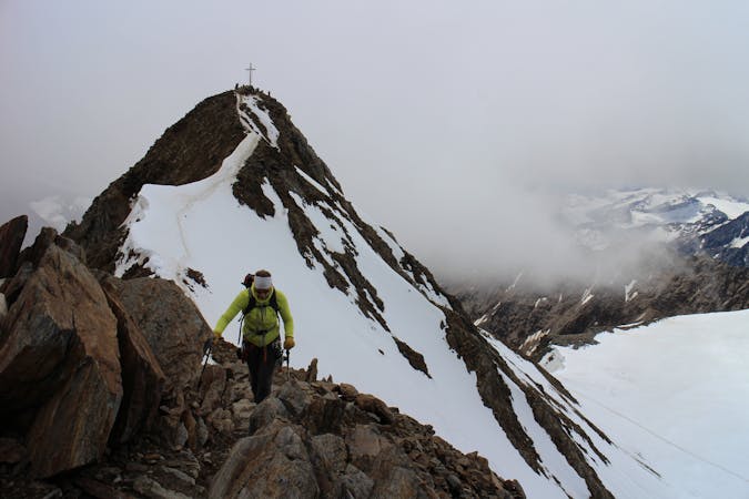
Alpine Climbing Easy

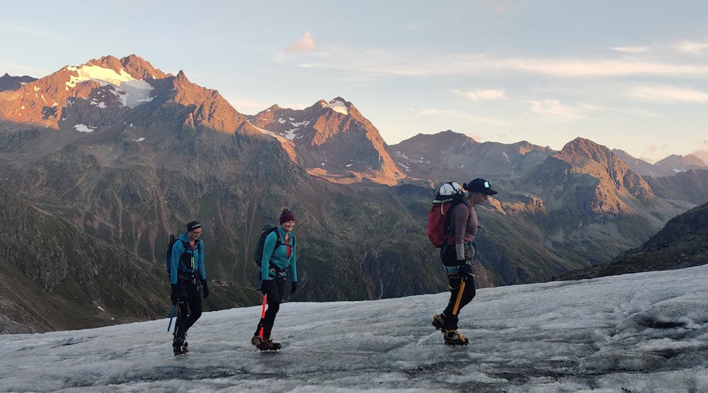
This is a popular alpine climbing route which is generally considered to be easy. It's remote, it features medium exposure and is typically done between June and September. From a low point of 1.7 km to the maximum altitude of 3.7 km, the route covers 31 km, 2098 vertical metres of ascent and 2099 vertical metres of descent. You'll need ice axe, crampons and glacier kit to complete it safely.
Tourenbericht und Infos: https://www.suedtirolalpin.com/post/wildspitze-hochtour
www.suedtirolalpin.com
Easy
The ascent involves simple glacier hiking and/or short, straightforward rock scrambles. Equivalent to Alpine F, F+

The route features some exposed and/or difficult to protect sections.
Away from help but easily accessed.
5 km away
Two superb peaks in the Oetztal Alps, offering an easy tick for two 3000m summits in one day.
Moderate Alpine Climbing
4 routes · Alpine Climbing · Hiking