842 m away
Klein Kanada

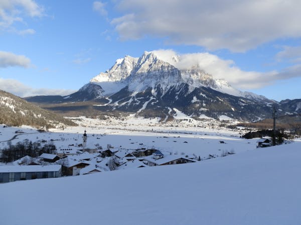
A classic Freeride line at the Zugspitze
Difficult Freeride Skiing
- Distance
- 1.4 km
- Ascent
- 43 m
- Descent
- 283 m
The easiest freeride descent from the Zugspitze
Also in Bayern, Germany
Freeride Skiing Moderate

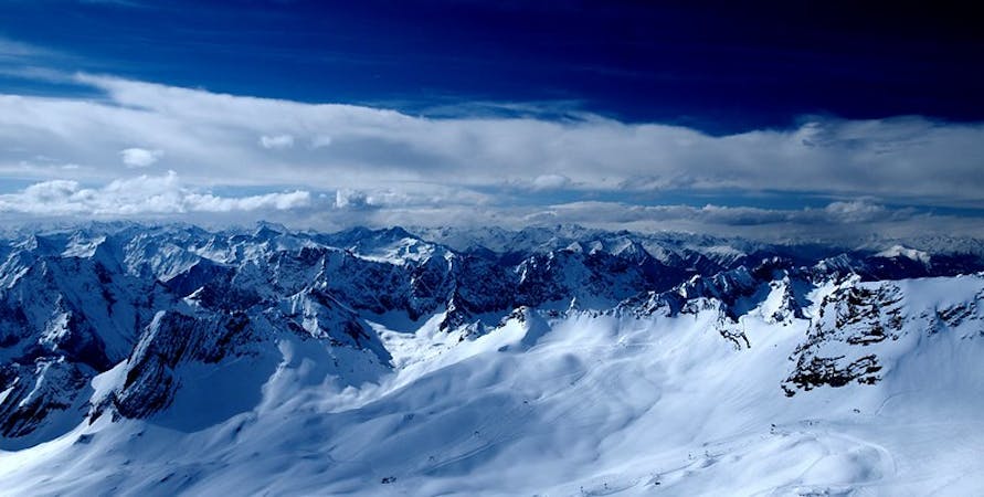
Take the Wetterwandeck lift up and exit to the left and ski down the Super G piste, keeping right on the ridge towards the Reintal (the valley which leads from Garmisch to the Zugspitze). Keep right below the rocks until you can almost see the 'Gatterl' (the German/Austrian border). Skin up and cross the border between Germany and Austria. Ski down keeping right and traverse as much as possible before skinning up and hiking to the next col. Traverse the next bowl as well until you see the open slopes facing towards the Ehrwalder Almbahn Skiing Area. Ski down and follow the slopes to the valley. Stay right and make sure you don't ski down too far left as you will miss the skiing area.
Moderate
Slopes become slightly steeper at around 25-30 degrees.

In case of a fall, death is highly likely.
Little chance of being seen or helped in case of an accident.
842 m away
A classic Freeride line at the Zugspitze
Difficult Freeride Skiing
1.7 km away

THE classic freeride line at the Zugspitze
Severe Freeride Skiing
2 km away

A classic line below the 'Tiroler Zugspitzbahn'
Severe Freeride Skiing

5 routes · Freeride Skiing · Ski Touring
4 routes · Freeride Skiing
3 routes · Freeride Skiing

10 routes · Freeride Skiing