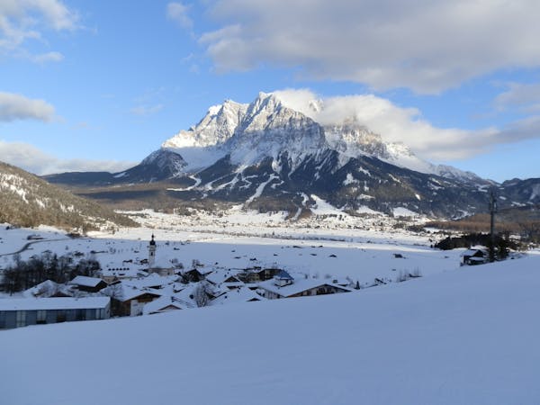
Zugspitze Summit Hike
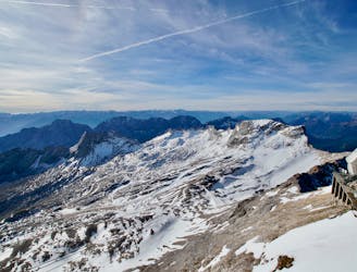
Hike to the top of Germany's highest peak!
Difficult Hiking
- Distance
- 22 km
- Ascent
- 2.4 km
- Descent
- 208 m
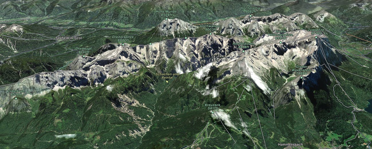
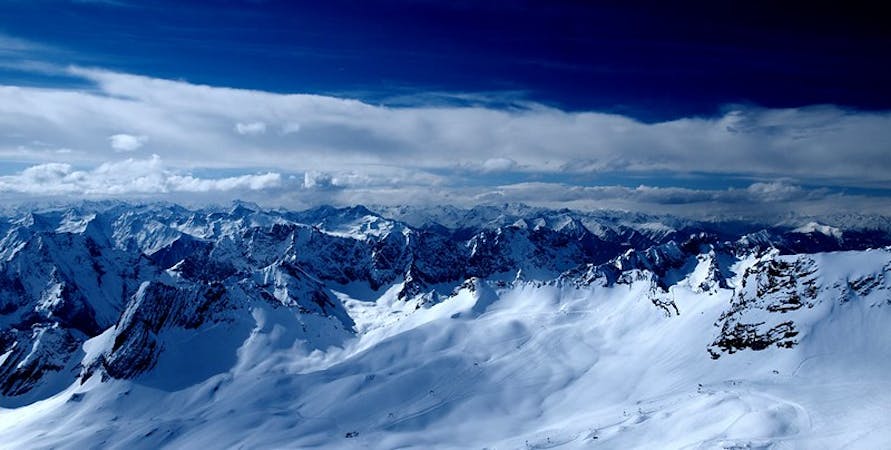
Garmisch is a Bavarian ski resort near to Germany's highest peak, Zugspitze. The surrounding terrain is steep and offers vast quantities of freeride lines.
Explore Garmisch-Partenkirchen with curated guides of the best routes. With over 15 3D trail maps in FATMAP, you can easily discover and navigate the best trails in Garmisch-Partenkirchen.
No matter what your next adventure has in store, you can find a guide on FATMAP to help you plan your next epic trip.
Get a top trail recommendation in Garmisch-Partenkirchen from one of our 4 guidebooks, or get inspired by the 15 local adventures uploaded by the FATMAP community. Start exploring now!
Hike to the top of Germany's highest peak!
Difficult Hiking

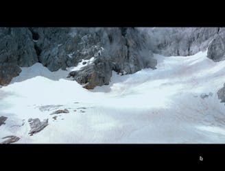
The easiest freeride descent from the Zugspitze
Moderate Freeride Skiing

THE classic freeride line at the Zugspitze
Severe Freeride Skiing

A classic line below the 'Tiroler Zugspitzbahn'
Severe Freeride Skiing

A classic Freeride line at the Zugspitze
Difficult Freeride Skiing

Six days in the Alps (Gappa - Landeck - Sesvennahütte - Bormio - Pass del Tonale - Lago di Garda)
Extreme Mountain Biking
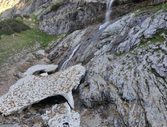
Easy to moderate walk towards the Höllental valley where you reach a beautiful mountain hut for a stay over
Moderate Hiking
From the höllental Hütte to the summit of Germany's highest mountain, via ferrata and short glacier crossing. Moderate for more experienced/difficult for beginners. In bad weather circumstances this can become a very challenging route, so always check the weather forecast!
Difficult Alpine Climbing

5 routes · Freeride Skiing · Ski Touring
4 routes · Freeride Skiing
3 routes · Freeride Skiing

10 routes · Freeride Skiing