842 m away
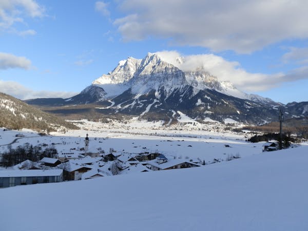
Gatterl

The easiest freeride descent from the Zugspitze
Moderate Freeride Skiing
- Distance
- 5.5 km
- Ascent
- 362 m
- Descent
- 1 km
A classic Freeride line at the Zugspitze
Freeride Skiing Difficult

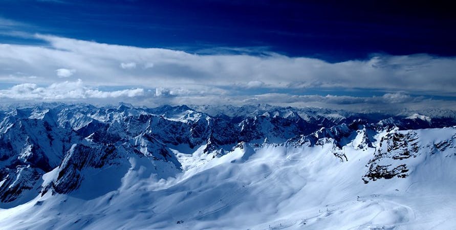
This is a popular freeride skiing route which is generally considered to be difficult. It's very remote, it features medium exposure (e2) and is typically done between January and April. From a low point of 2.3 km to the maximum altitude of 2.6 km, the route covers 1.4 km, 43 vertical metres of ascent and 283 vertical metres of descent. It's graded 2.2 and Labande grade 3.
Take the Wetterwandeck lift up and start traversing/walking east. Ski into the big bowl and leave it traversing left to reach the Brunntal lift. (Make sure the Brunntal lift is open.) Otherwise traverse almost horizontally to the Wetterwandeck lift.
Difficult
Serious gradient of 30-38 degrees where a real risk of slipping exists.

As well as the slope itself, there are some obstacles (such as rock outcrops) which could aggravate injury.

Little chance of being seen or helped in case of an accident.
842 m away
The easiest freeride descent from the Zugspitze
Moderate Freeride Skiing
1.5 km away

THE classic freeride line at the Zugspitze
Severe Freeride Skiing
2.3 km away

A classic line below the 'Tiroler Zugspitzbahn'
Severe Freeride Skiing

5 routes · Freeride Skiing · Ski Touring
4 routes · Freeride Skiing
3 routes · Freeride Skiing

10 routes · Freeride Skiing