8.1 km away
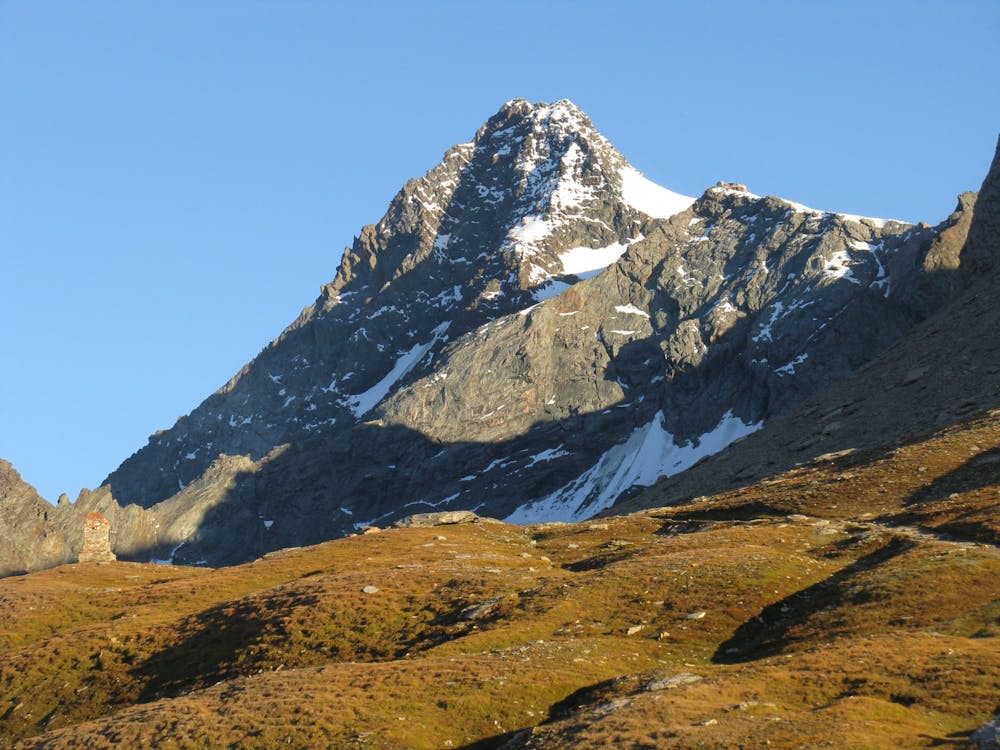
Approach to the Stüdlhütte
A gorgeous, wild hike to a famous hut.
Difficult Hiking
- Distance
- 5.3 km
- Ascent
- 873 m
- Descent
- 0 m
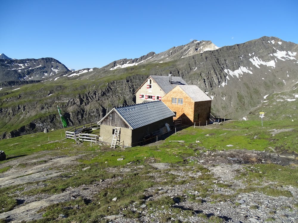
Glocknerhaus - Wiener Höhenweg - Salmhütte - Glorerhütte - Lucknerhaus - Lucknerhütte
Also in Kärnten, Austria
Hiking Difficult

This is a popular hiking route which is generally considered to be difficult. It's very remote, it features high exposure and is typically done between June and September. From a low point of 1.9 km to the maximum altitude of 2.7 km, the route covers 15 km, 1290 vertical metres of ascent and 1206 vertical metres of descent.
Abstieg zum Margaritzenstausee und via Wiener Höhenweg zur Salmhütte (Nr. 741). Weiter über Glorerhütte und Abstieg zum Lucknerhaus mit Gegenanstieg zur Lucknerhütte.
Difficult
Hiking trails where obstacles such as rocks or roots are prevalent. Some obstacles can require care to step over or around. At times, the trail can be worn and eroded. The grade of the trail is generally quite steep, and can often lead to strenuous hiking.

Some trail sections have exposed ledges or steep ascents/descents where falling could cause serious injury.
Little chance of being seen or helped in case of an accident.
8.1 km away
A gorgeous, wild hike to a famous hut.
Difficult Hiking

9 routes · Alpine Climbing · Hiking