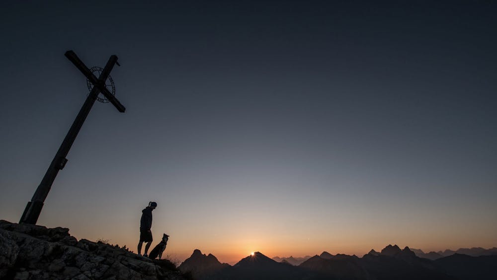
Einstein hike, Tyrol
A classic hike in the valley of Tannheimer Tal, Austria
Hiking Easy
- Distance
- 3.3 km
- Ascent
- 763 m
- Descent
- 1 m
- Duration
- 1-2 hrs
- Low Point
- 1.1 km
- High Point
- 1.9 km
- Gradient
- 31˚

A classic hike in the Tannheimertal Valley up to the summit of Einstein.


- •
- •
- •
- •
- •
Description
From the parking lot by the main road, walk through the village of Berg and follow the sign posts to start the trail.
The trail takes you through woods and then up a steep mountain path to the ridge below the summit.
The trail can get a bit loose, so good footwear is required.
There are no huts on route so bring enough water and food for the return journey.
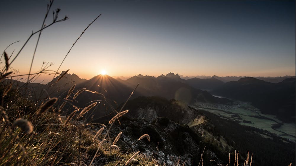
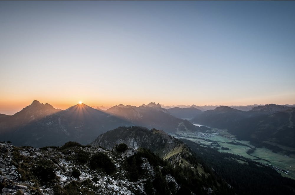
Stunning views across the Tyrol and German Allgäu Alps from the summit.
Difficulty
Easy
Walking along a well-kept trail that’s mostly flat. No obstacles are present.
Low Exposure

The path is on completely flat land and potential injury is limited to falling over.
Remoteness
Close to help in case of emergency.
Best time to visit
Features
- Alpine
- Wildlife
- Picturesque
- Summit Hike
- Dog friendly
- Wild flowers
- Family friendly
- Forestry or heavy vegetation