Gaishorn Hike (2247m)
Hike up to Gaishorn from Tannheim
Hiking Moderate
- Distance
- 12 km
- Ascent
- 1.1 km
- Descent
- 1.1 km
- Duration
- 4-5 hrs
- Low Point
- 1.1 km
- High Point
- 2.2 km
- Gradient
- 21˚

Starting at the parking in Tannheim, this is one of a few different routes up to the summit of Gaishorn.

- •
- •
- •
- •
Description
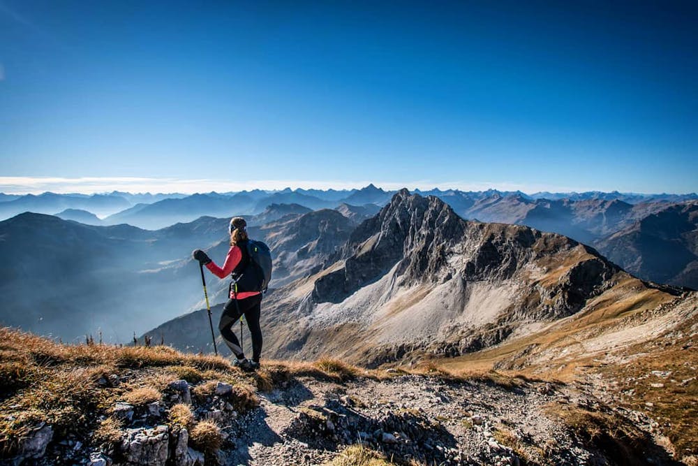
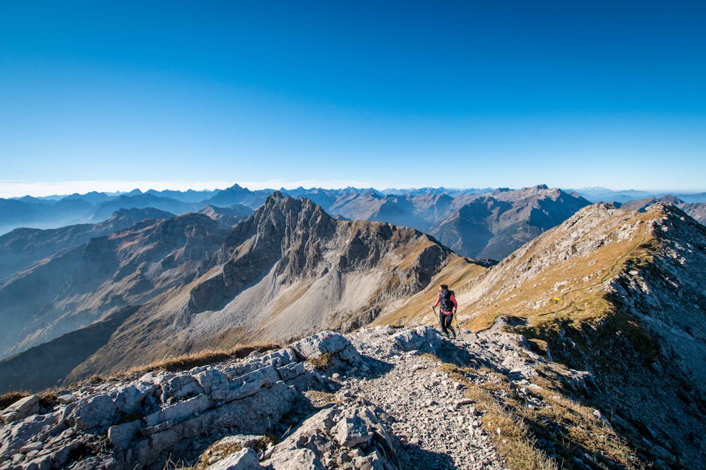
This route gives you 1100m of ascent and approaches the summit from the east side.
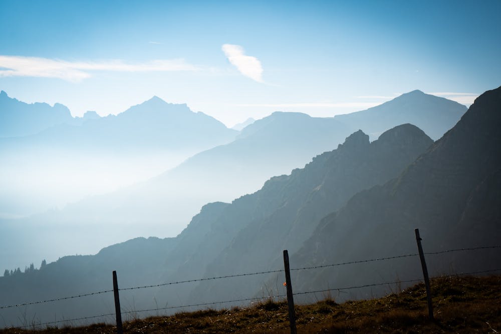
Quite forest trails turn into a huge open mountain bowl, before emerging on the ridge above Vilsalpsee lake.
From there the path becomes rocky and steep and finishes with a final short ridge walk to the top.
The view is to die for!
Difficulty
Moderate
Hiking along trails with some uneven terrain and small hills. Small rocks and roots may be present.
Remoteness

Close to help in case of emergency.
Best time to visit
Features
- Alpine
- Wildlife
- Picturesque
- Summit Hike
- Dog friendly
- Wild flowers
- Forestry or heavy vegetation