791 m away
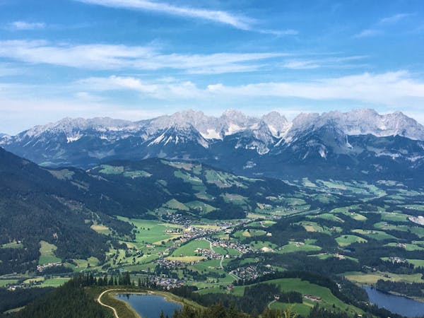
Kitzbühler Horn Summit
Climb to the top of the Kitzbühl local's favourite mountain!
Difficult Hiking
- Distance
- 15 km
- Ascent
- 1.2 km
- Descent
- 1.2 km
A fantastic ascent and descent of Kitzbühel’s famous Hahnenkamm mountain.
Hiking Difficult

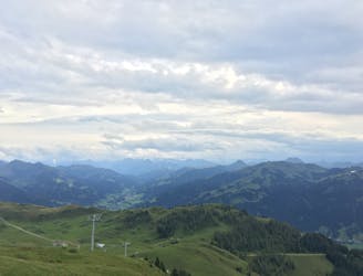
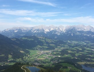
The Hahnenkamm in Austria’s Kitzbühel Alps is famous for its World Cup alpine downhill ski race. The Streif put this small medieval Austrian mountain town on the map with its highly technical "fall-away" turns and intensely demanding conditions. Yet when the snow melts, the Hahnenkamm shows a whole new side of itself.
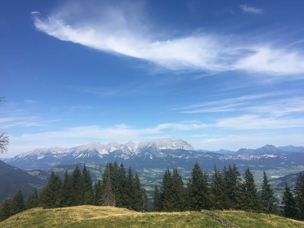
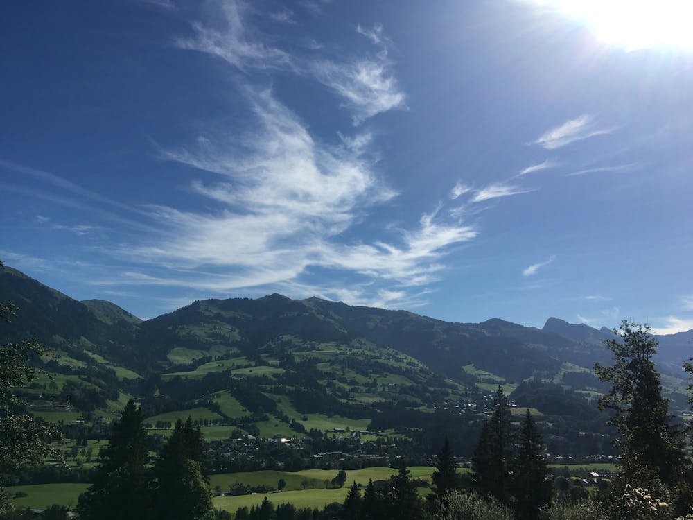
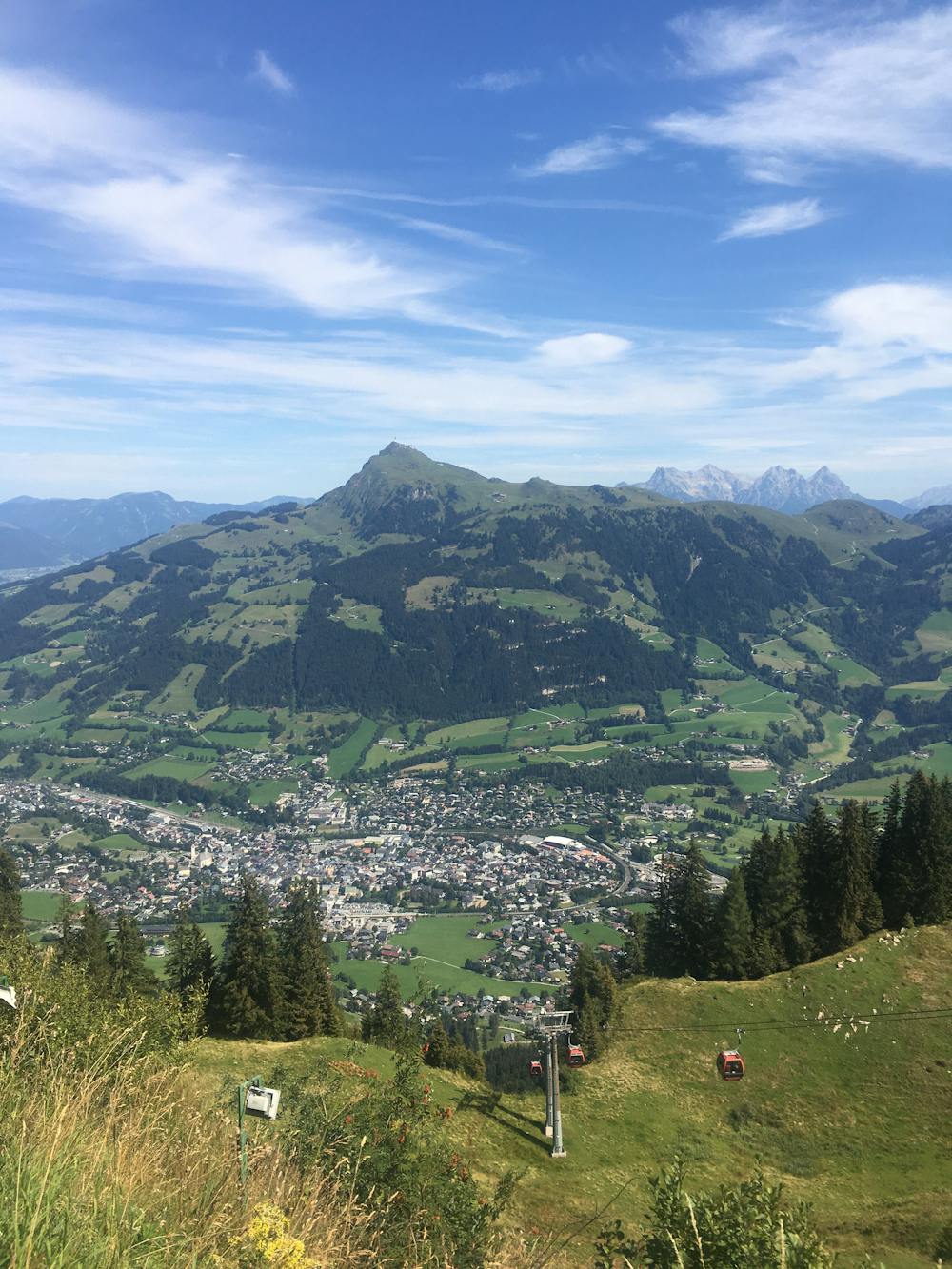
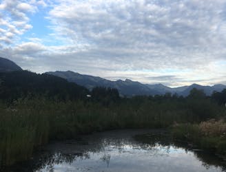
In the spring, summer, and early autumn months, hikers can enjoy peaceful nature and well-maintained hiking trails all over the Hahnenkamm. There are, of course, still many fans of the downhill race who just ride to the top of the Hahnenkamm in summer to look at the racecourse and ride the lift back down again. This means that at the top, you are likely to find the Hahnenkamm to be very crowded at times, but luckily the hiking trails lacing around the mountain are relatively quiet.
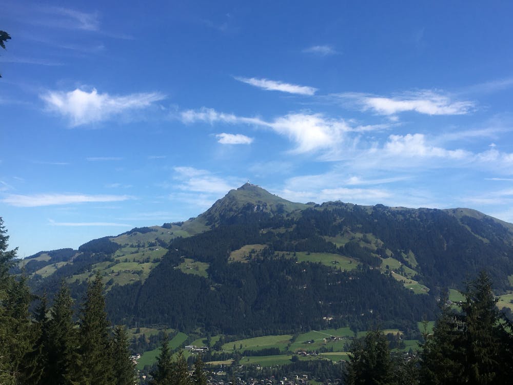
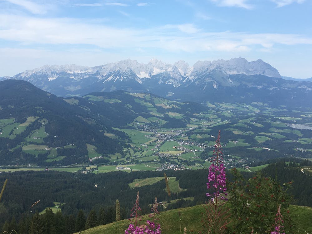
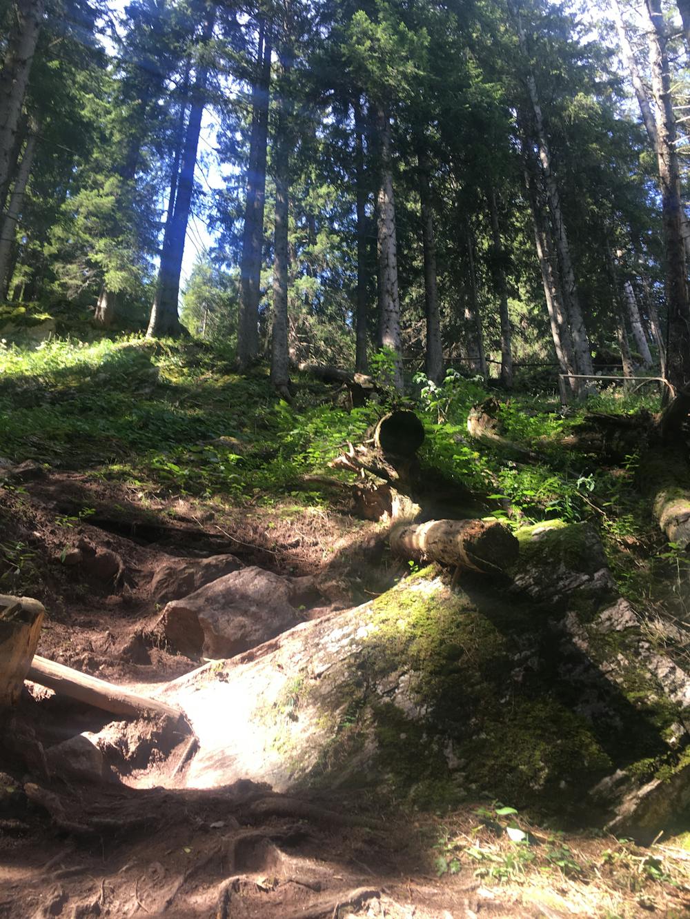
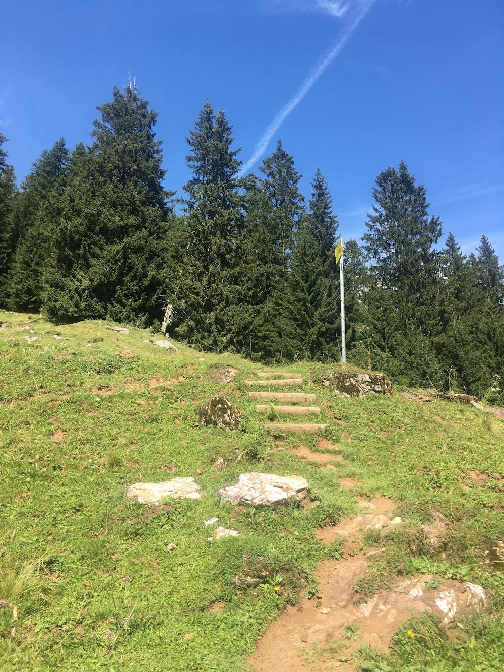
The summit hike of the Hahnenkamm from the bottom of the Hahnenkammbahn is particularly lovely. The trail leads you up through an enchanting forest, where a lot of the path is beautifully threaded with entangled tree roots. Some parts of the trail are steep, and a good level of fitness is required. As you climb higher, you will be presented with a few signed divergences from the main trail, which are mainly all minor detours to the top. When you are nearing the summit, you will leave the forest and cross a grassy field diagonally until you reach the Hochekhütte. This is a wonderful traditional Austrian restaurant with reasonable prices and fantastic views across the valley. From here, it is just a short climb to the summit.
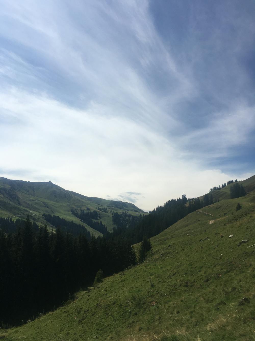
Retrace your steps past the Hochekhütte, all the way across the field until the point the trail splits in two. Follow the sign for Kitzbühel along the trail, which forks off to the right. In parts, the trail follows a dirt road before eventually turning into a footpath. You will finish up where you started, right by the Hahnenkammbahn lower station.
Difficult
Hiking trails where obstacles such as rocks or roots are prevalent. Some obstacles can require care to step over or around. At times, the trail can be worn and eroded. The grade of the trail is generally quite steep, and can often lead to strenuous hiking.

The trail contains some obstacles such as outcroppings and rock which could cause injury.
Away from help but easily accessed.
791 m away
Climb to the top of the Kitzbühl local's favourite mountain!
Difficult Hiking
1.1 km away
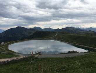
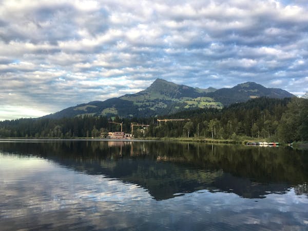
A very pleasant family-friendly walk to Kitzbühel’s favourite nearby lake.
Easy Hiking
2.5 km away
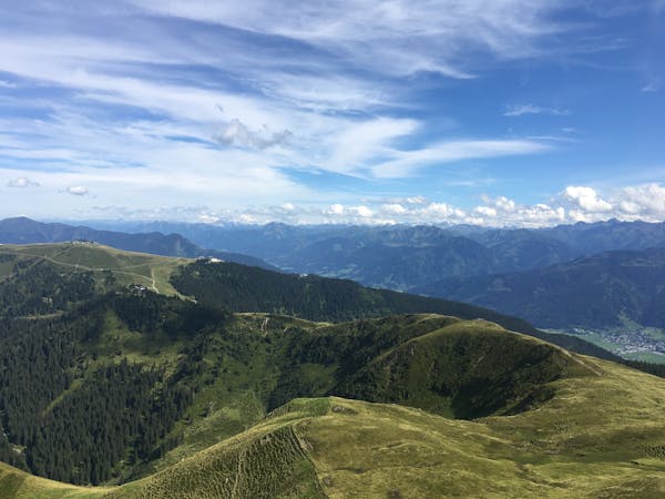
A fantastic high alpine family-friendly hike.
Easy Hiking
4 km away
A short and pretty circular hike on the Kitzbühler Horn.
Easy Hiking
4 routes · Hiking
3 routes · Hiking
8 routes · Hiking