Pitz Alpine Glacier Trail P26
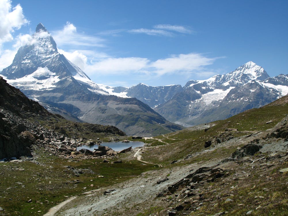
Rifflsee
Race day: 4th of August 2018. Take-off time: 8 am – 10 am
Hiking Extreme
- Distance
- 28 km
- Ascent
- 1.4 km
- Descent
- 1.4 km
- Duration
- 7-8 hrs
- Low Point
- 1.7 km
- High Point
- 2.6 km
- Gradient
- 19˚

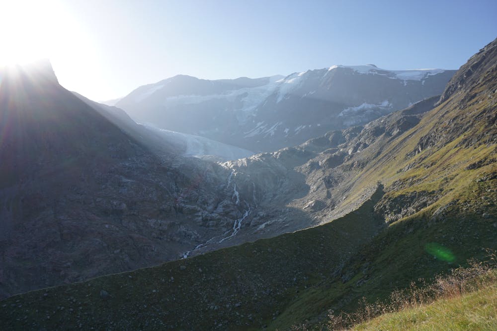
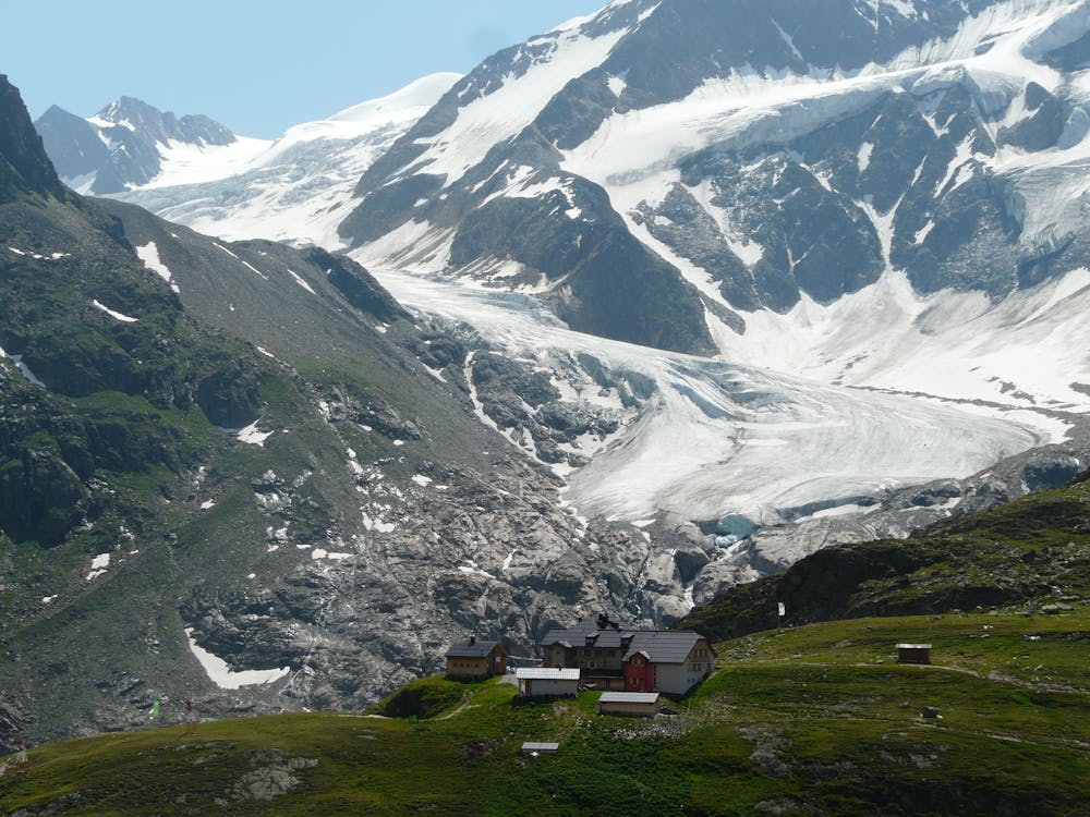
2 qualifying points (new scale) are expected for the Ultra-Trail du Mont-Blanc. Part of the Austrian Speed Trail Cup from the Austrian Trail Running Association. This course starts with an ascent to the beautiful Rifflsee mountain lake. After that the runners have to part with their travel companions (Sunna Alm aid station, viewer point). Across the famous Fuldaer high course, runners go to the Taschachhaus mountain hut where the panoramic views of the glacier offer the perfect excuse to sit down for a short ‘breather’. 26 km with ca. 1,600 elevation gain (start and finish in Mandarfen). The actual data for kilometres and elevation gain vary by plus minus 3 percent, depending on the method of measurement. Individual trail running competition for men and women. Target groups: trained runners with half-marathon experience, ambitious 10 km finishers with cross-country experience, mountain runners, trained runners with cross-country experience.
- •
- •
- •
Difficulty
Extreme
Scrambling up mountains and along technical trails with moderate fall exposure. Handholds are necessary to navigate the trail in its entirety, although they are not necessary at all times. Some obstacles can be very large and difficult to navigate, and the grades can often be near-vertical. The challenge of the trail and the steepness of the grade results in very strenuous hiking. Hikes of this difficulty blur the lines between "hiking" and "climbing".
Remoteness

Close to help in case of emergency.