Zagoritzsee (Zagoritz Lake)
A family friendly hike to the beautiful Zagoritz lake in the center of the eastern Tyrolean Alps.
Hiking Moderate
- Distance
- 22 km
- Ascent
- 1.2 km
- Descent
- 1.2 km
- Duration
- 6-7 hrs
- Low Point
- 1.2 km
- High Point
- 2.3 km
- Gradient
- 17˚

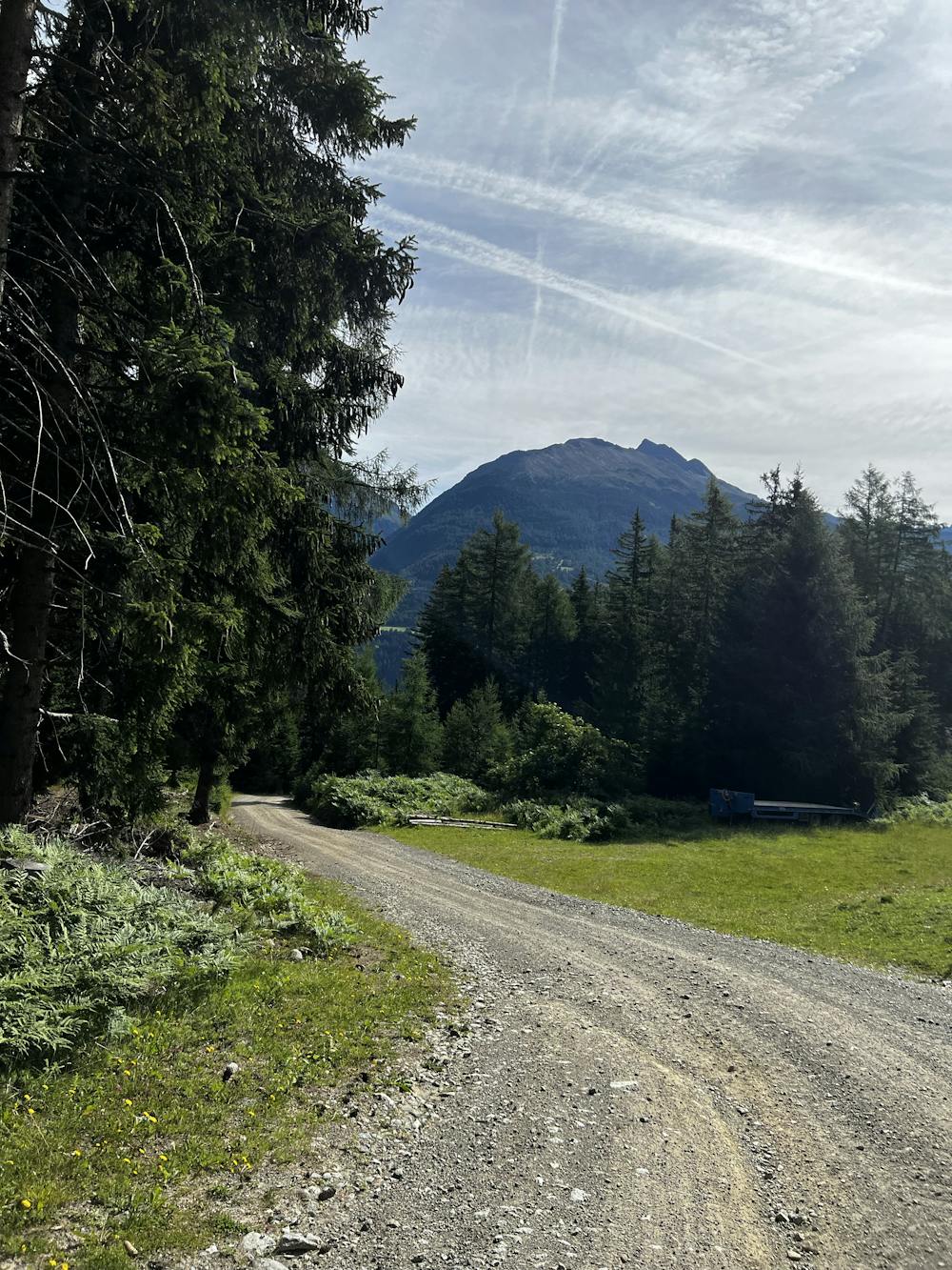
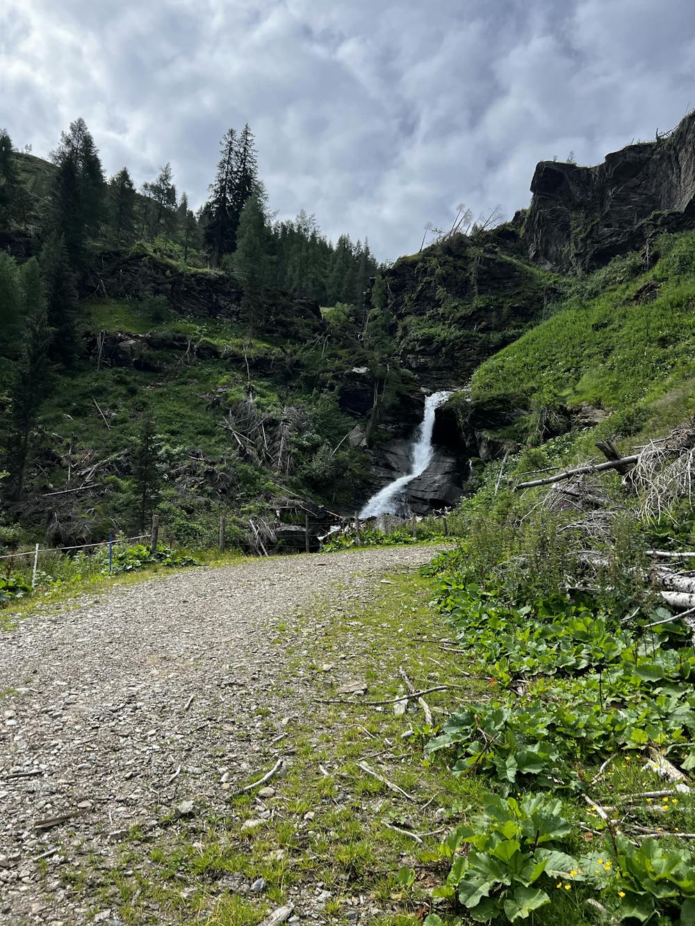
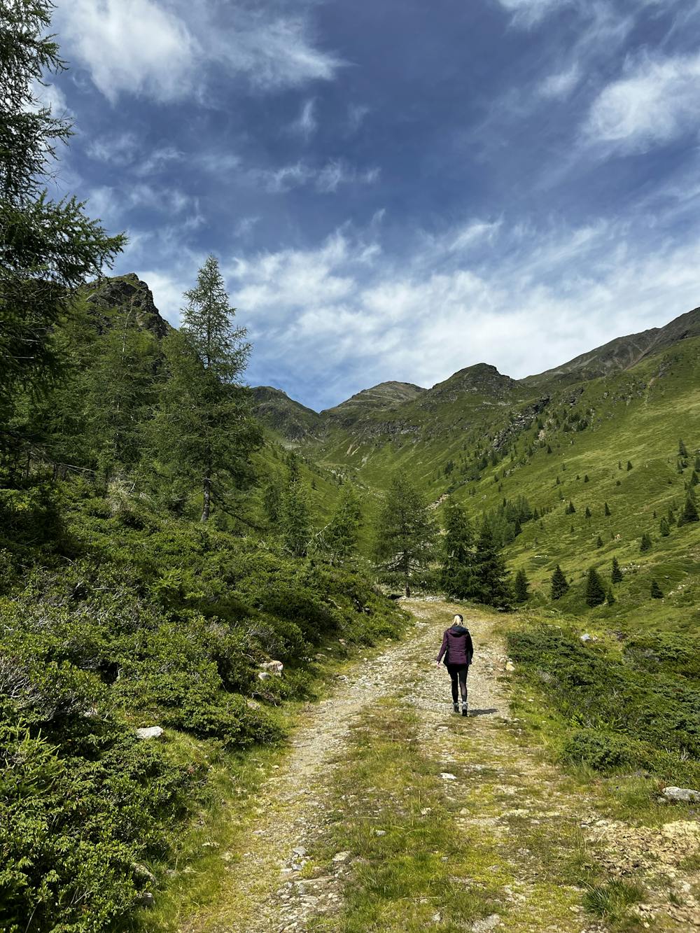
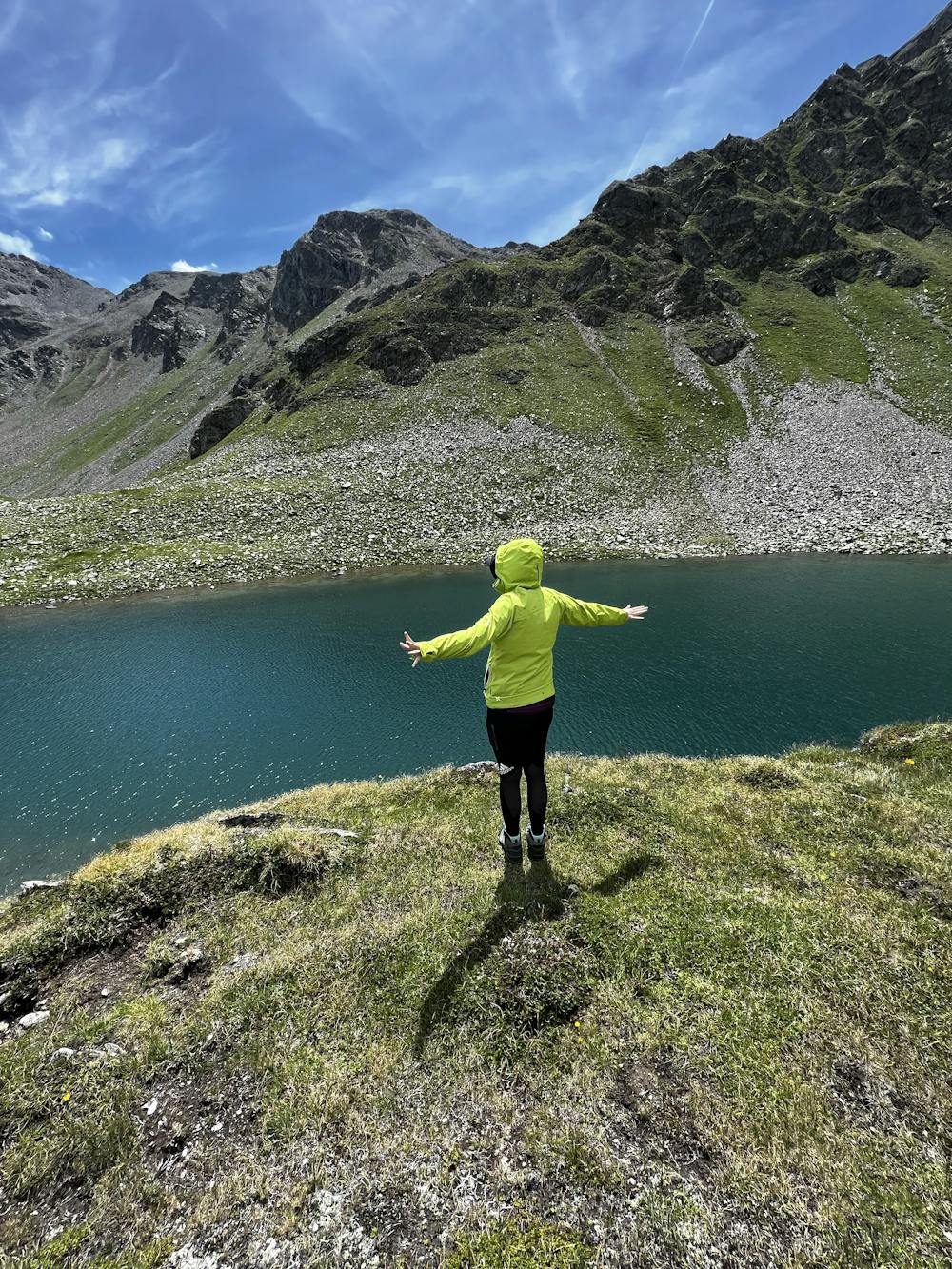
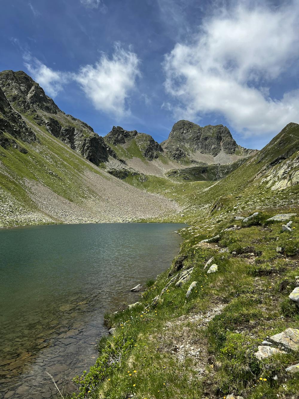
Starting from the end of the road at the parking lots you can follow the gravel road all the valley along till you come to the „Michlbacher Alm“. This is a beautiful spot to take a first rest. There may be also some calves walking around, but they mostly minding their own business. From there on you find a small signed path to the end of the valley. After the path gets smaller you get to a bigger Boulder where the opportunity is to go left or the right. The path labels are very washed out so take the left side. When continuing the walk you will reach the beautiful Zagoritz lake which is (if not too cold) a beautiful spot for taking a short bath. The atmosphere there is great and its water is very clear and has a beautiful color. There are also some fish inside this lake and if you are lucky you may also see some chamois around.
- •
- •
- •
- •
- •
- •
Difficulty
Moderate
Hiking along trails with some uneven terrain and small hills. Small rocks and roots may be present.
Medium Exposure

The trail contains some obstacles such as outcroppings and rock which could cause injury.
Remoteness
Away from help but easily accessed.
Best time to visit
Features
- Picturesque
- Dog friendly
- Water features
- Family friendly