4 km away
Hirchstein
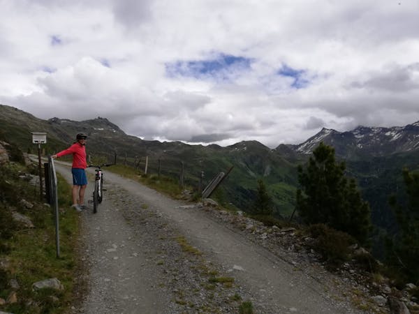
A beautiful and varied loop through some barren mountains.
Difficult Mountain Biking
- Distance
- 20 km
- Ascent
- 939 m
- Descent
- 939 m
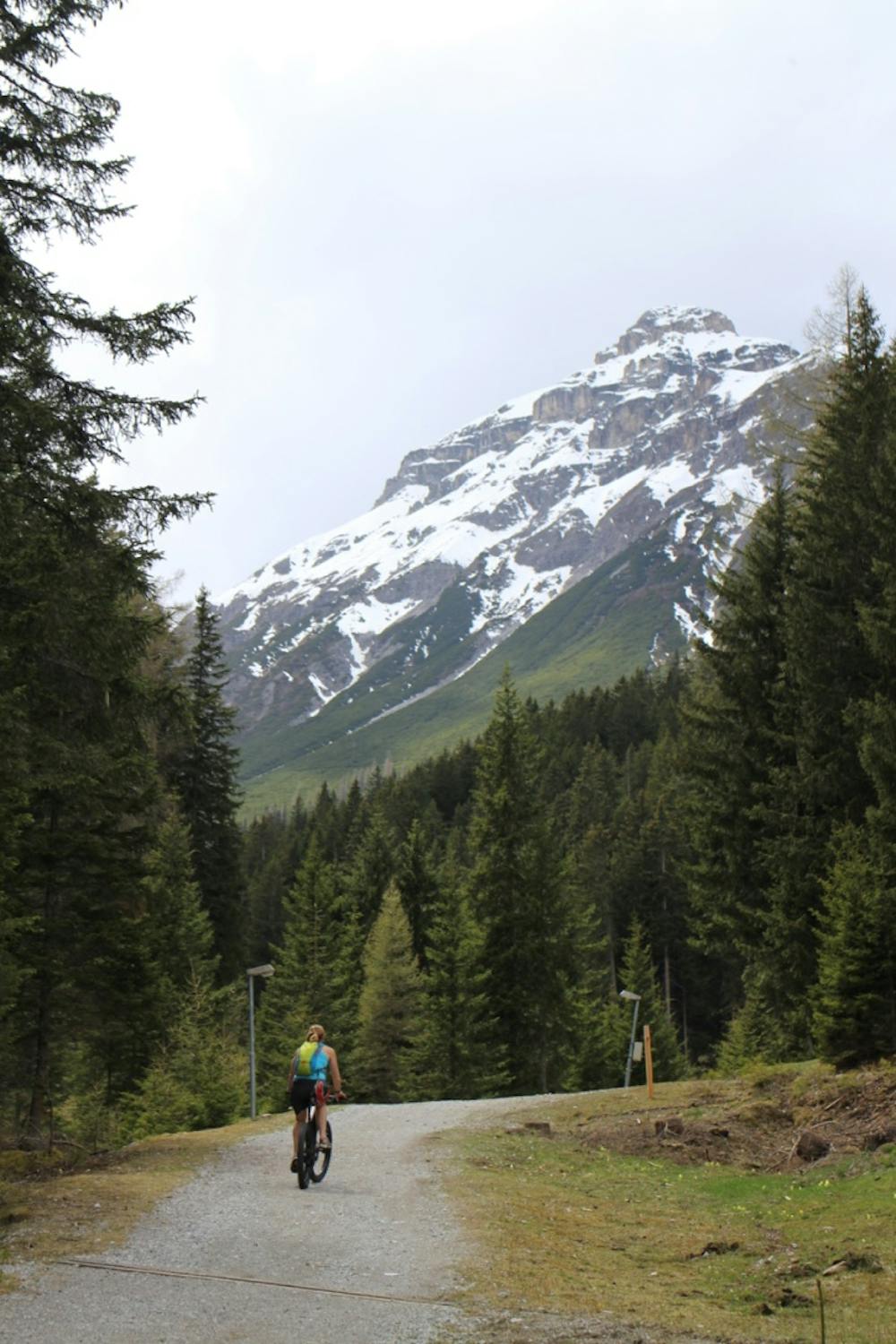
A wonderfully scenic, mid-length mountain biking route, with a lunch stop at one of Europe’s highest monasteries.
Mountain Biking Moderate

Exit the train station in Matrei and turn right to pass through the village centre. After just over 0.5km turn left, following ‘Maria Waldrast’ and zigzag uphill to reach the point where the road ends and the route really begins.
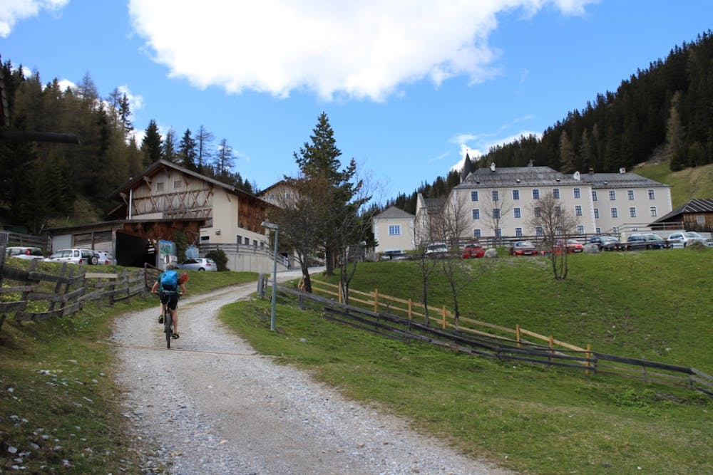
Follow the main 4x4 track steadily uphill with the iconic Serles Peak up ahead of you all the way. This initial 700m climb can feel a bit of a slog, but it’s worth it! After around 1 hour of climbing, Maria Waldrast Monastery will emerge at the far side of a clearing.
Lunch and a beer at the monastery is highly recommended, and from here continue uphill briefly, after which the downhill begins. At the fork head left, following bike trail ‘Kreuzweg 559’ and continue following this at the next junction. After a brief steep, downhill section, take the right hand path downhill in the direction of Mieders, which eventually leads to the village of Mieders itself. At the cable car station, take the left turn at the junction to follow the road until you see a sign for Innsbruck. Following this, cross first under the motorway then shortly afterwards cross the river and turn right.
Off the main road, you are now back in countryside. The path starts off downhill then begins to climb again as you head into a forest. Follow the sign for Kreith at the next junction and continue uphill on a forest track. Arrival at the tram line signals the end of this climb, cross here and turn right to eventually reach the village of Kreith. Pass through Kreith and continue along the road to Mutters. From here the most direct route back to Innsbruck is to simply follow the B182 downhill all the way back to the city.
Moderate
Mostly stable trail tread with some variability, with unavoidable obstacles 8in/20cm tall or less. Other obstacles such as rock gullies and steep sections may exist. Ideal for lower intermediate riders.

The path is on completely flat land and potential injury is limited to falling over.

Away from help but easily accessed.
4 km away
A beautiful and varied loop through some barren mountains.
Difficult Mountain Biking
7.7 km away
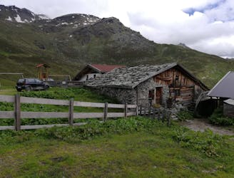
An easy ride to an idyllic mountain hut.
Easy Mountain Biking

5 routes · Mountain Biking
3 routes · Mountain Biking · Hiking

24 routes · Mountain Biking