4.6 km away
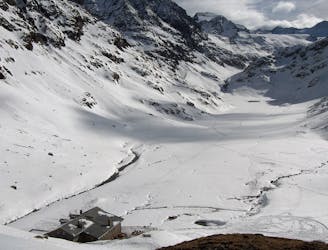
Stubai Ski Tour: Amberger Hut to Franz Senn Hut
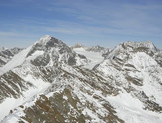
A long glacial skin to a short roped climb leading to one of two cols, before a long descent to the Franz Senn Hut.
Difficult Ski Touring
- Distance
- 12 km
- Ascent
- 1.1 km
- Descent
- 1.1 km
The best one of the Stubaital
Ski Touring Severe

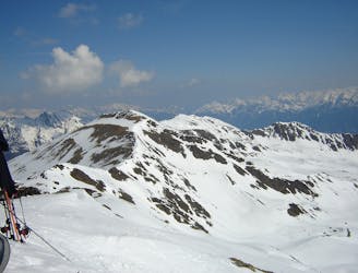
This mountain is attractive because of it is standing alone and all its faces are skiable.
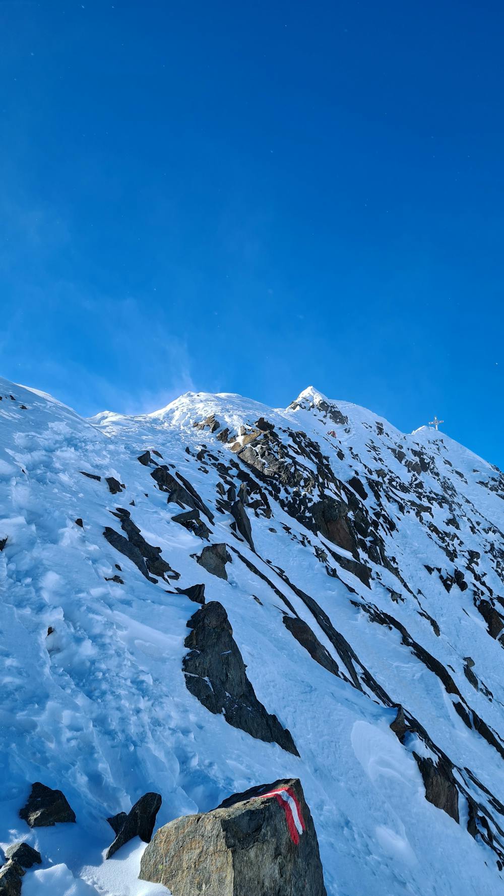
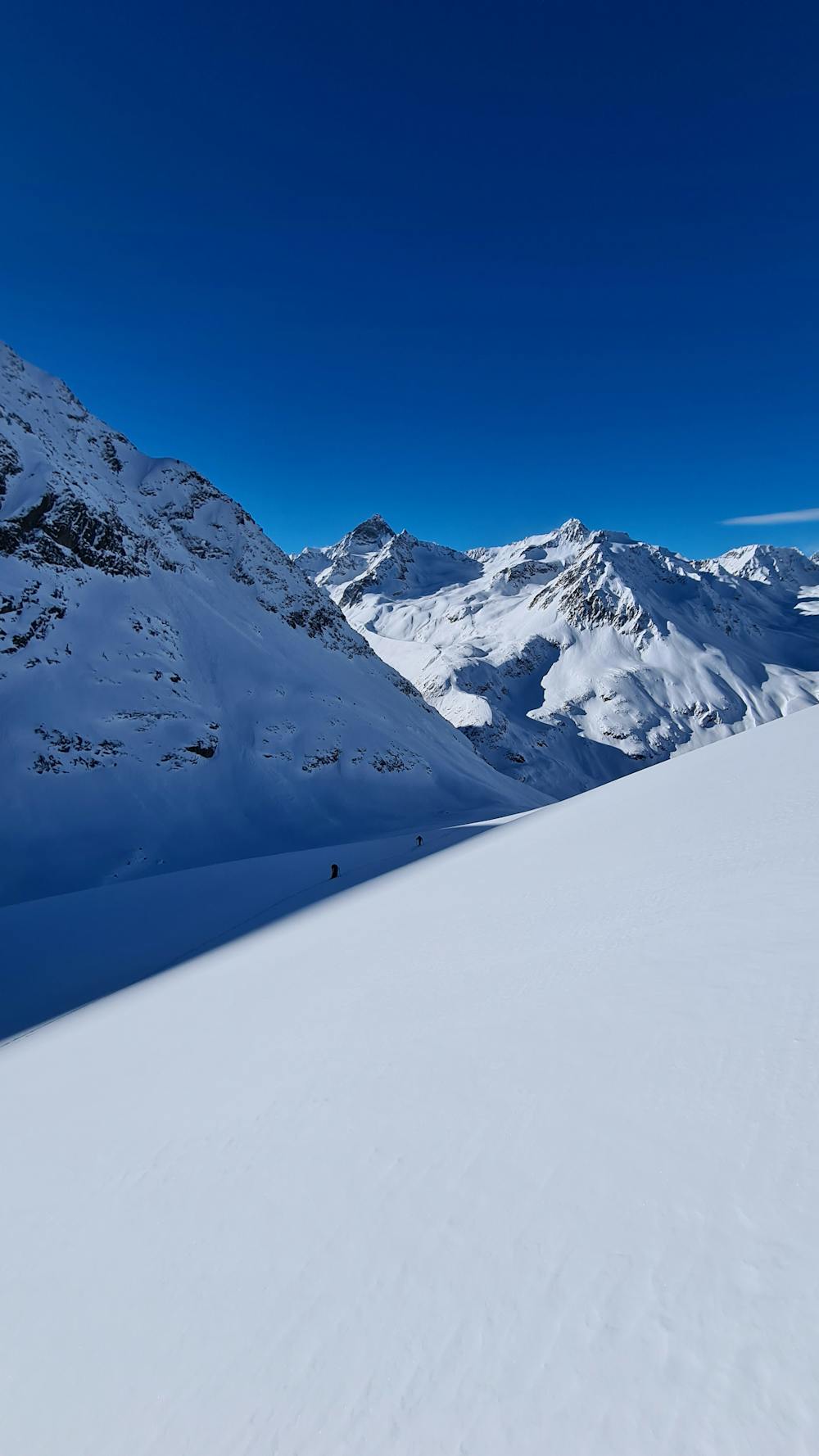
The approach is classic, starting by a long flat valley until the old glacier bed where no glacier is anymore. This is really sad but when you climb this mountain you really remark that the climate change has a big impact on the alps.
The final ridge is really beautiful, it can be exposed. There are different ways to go down: the south couloir, the east face or by the normal way from the ski depot. All of them offers different kind of skiing, from steep and exposed to mellow glacier skiing.
If you have to do one tour in the Stubaital, I would recommend this one, principally because it is the most remote of the Stubaital summits of this list ! And again, the ridge is a beauty !
Severe
Steep skiing at 38-45 degrees. This requires very good technique and the risk of falling has serious consequences.

As well as the slope itself, there are some obstacles (such as rock outcrops) which could aggravate injury.
Away from help but easily accessed.
4.6 km away
A long glacial skin to a short roped climb leading to one of two cols, before a long descent to the Franz Senn Hut.
Difficult Ski Touring
4.7 km away
A day tour up the classic Kuhscheibenspitze, 3189m
Difficult Ski Touring
4.7 km away

Einsame sonnseitige Frühjahrsabfahrt.
Moderate Ski Touring
4.7 km away

Eine einfache, unvergletscherte Skitour im Schatten steiler Felswände.
Moderate Ski Touring
4.7 km away

Über Eis und Steilrinnen auf einen Panoramagipfel der Stubaier Alpen
Difficult Ski Touring
4.7 km away

Skitour über den Schwarzenbergerferner und Gratkletterei auf einen Gipfel mit einer Rundumsicht, die ihresgleichen sucht!
Difficult Ski Touring
9.3 km away
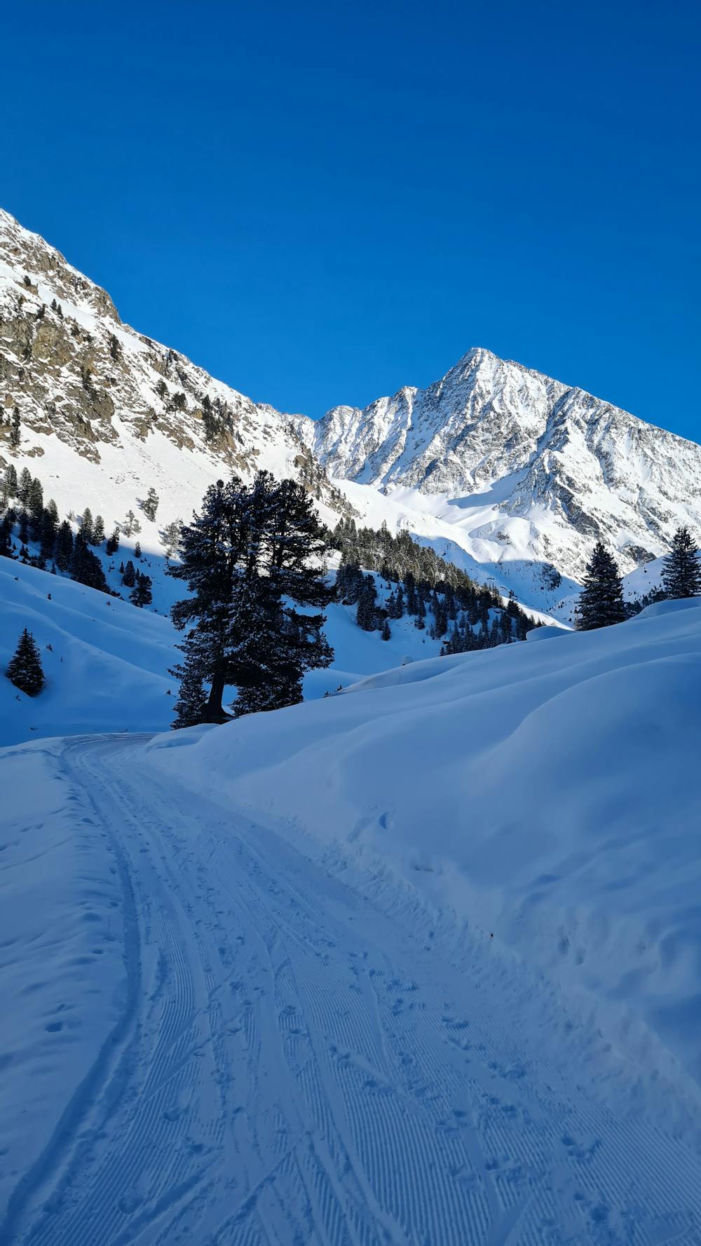
This is a mainly downhill day to get the ski legs in, with the option of a ski summit by going up a side valley.
Moderate Ski Touring
5 routes · Ski Touring

17 routes · Ski Touring