6.3 km away
Patscherkofel Summit
A short, safe and beautiful ski tour high above the Inn Valley and Innsbruck city.
Moderate Ski Touring
- Distance
- 3.6 km
- Ascent
- 290 m
- Descent
- 293 m
A fun tour to a mountain hut and a spectacular view.
Ski Touring Moderate

This is a great way of turning a day of lift skiing into a bit of an adventure. It's only a short ascent but it quickly gets you away from the pistes and offers the possibility of some low stress exercise and excellent views.
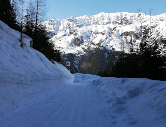
Ride the somewhat antiquated Glungezer lift system to the top of the Schartenkogel chairlift and then descend the Schaferhüttenabfahrt piste briefly before branching left off it and putting skins on next to a little hut.
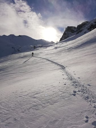
Begin climbing up through mellow, rocky terrain and follow the plastic poles which are usually in place to show you the way. Even without them the route finding isn't too tough - just keep heading south up small bowls, always aiming for the short, uniform slope just below the Glungezerhütte.
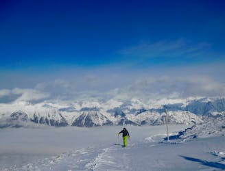
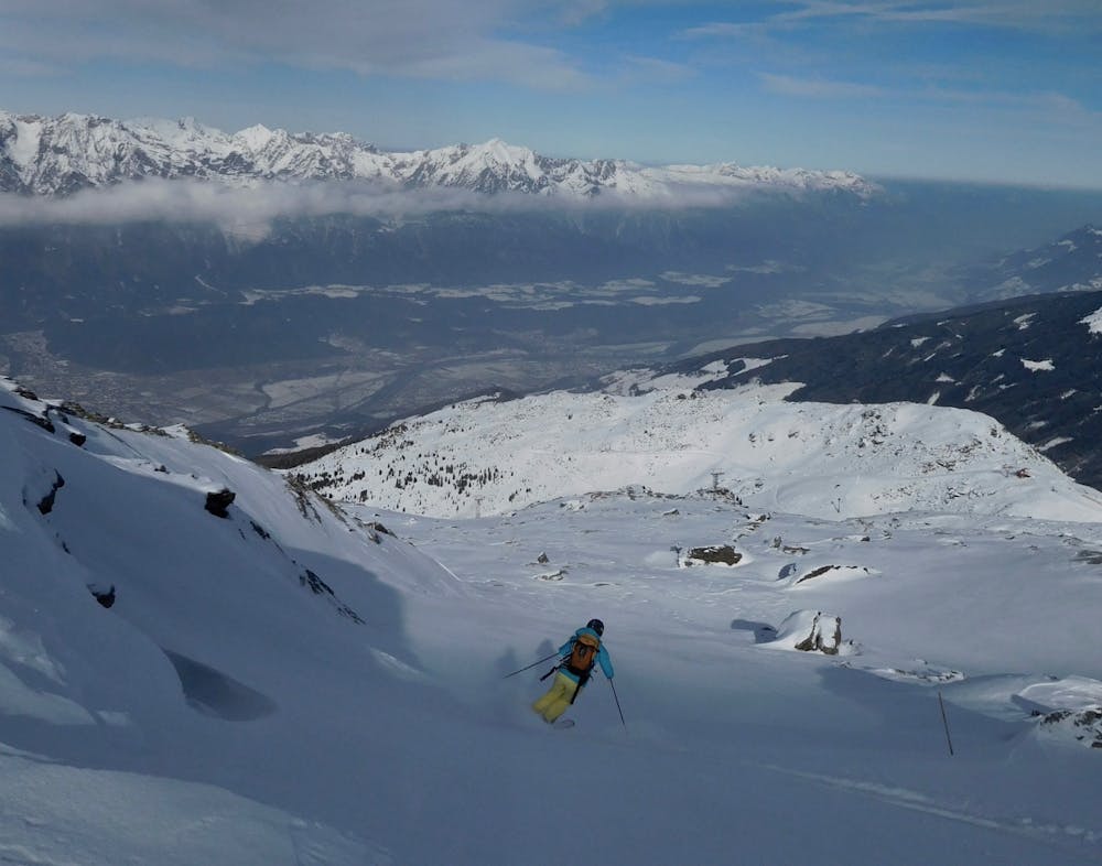
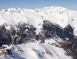
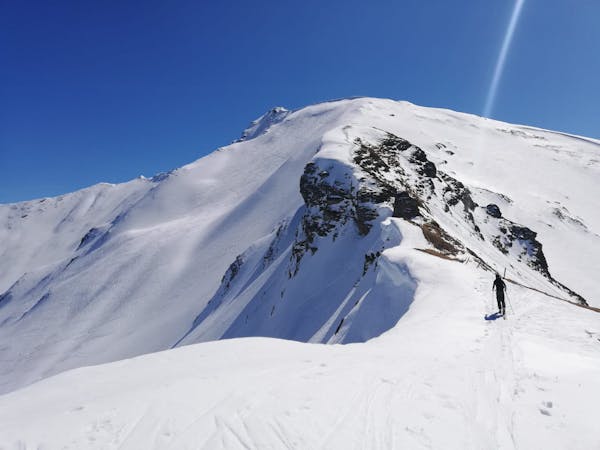
Upon reaching the slope zig zag up it to reach the hut. Many people turn around here (after a quick drink of course) but it's only 5 minutes further to go to the summit of Glungezer itself. There's great views to be enjoyed from here, with the peaceful mountains of the Wipptal to your south, and the bustle of the Inn valley providing a contrast to the north.
Ski back down to the Glungezerhütte, grab a bite to eat (and myabe a cheeky beer) and then ski back down the ascent route and back into the lift system.
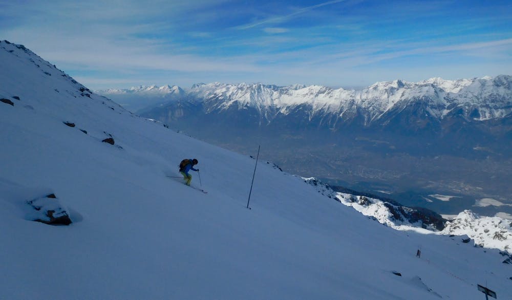
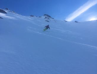
The skiing is never too tough but it's continually fun due to the countless mini features which you can play with all the way down.
Moderate
Slopes become slightly steeper at around 25-30 degrees.

Exposure is limited to that of the slope itself. Getting hurt is still likely if the slope is steep and/or the snow is hard.

Away from help but easily accessed.
6.3 km away
A short, safe and beautiful ski tour high above the Inn Valley and Innsbruck city.
Moderate Ski Touring
6.8 km away
An incredible, long circuit around some of the Tirol's most wild peaks.
Moderate Ski Touring
8.6 km away
A mellow, sunny ski tour in wild surroundings.
Moderate Ski Touring
9.1 km away
The classic of classics in the Navis valley!
Difficult Ski Touring
9.7 km away
A stunning tour and a fabulous ski descent through some of the finest terrain in Tirol.
Severe Ski Touring
5 routes · Ski Touring

50 routes · Freeride Skiing · Ski Touring
3 routes · Ski Touring

25 routes · Ski Touring