556 m away
Pfoner Kreuzjöchl
A mellow, sunny ski tour in wild surroundings.
Moderate Ski Touring
- Distance
- 15 km
- Ascent
- 1.2 km
- Descent
- 1.2 km
The classic of classics in the Navis valley!
Ski Touring Difficult

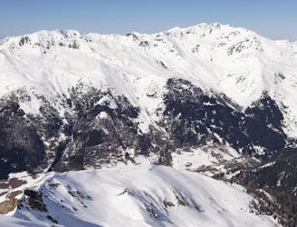
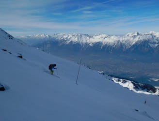
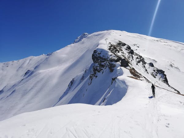
This is a legendary summit which sees plenty of traffic, for good reason. The mountain can be climbed from just about every side and the ascent line shown here is the most popular and safest option. As an added bonus this ascent route takes you onto the mountain's gorgeous north-west ridge, which is a fabulous way to climb the peak.
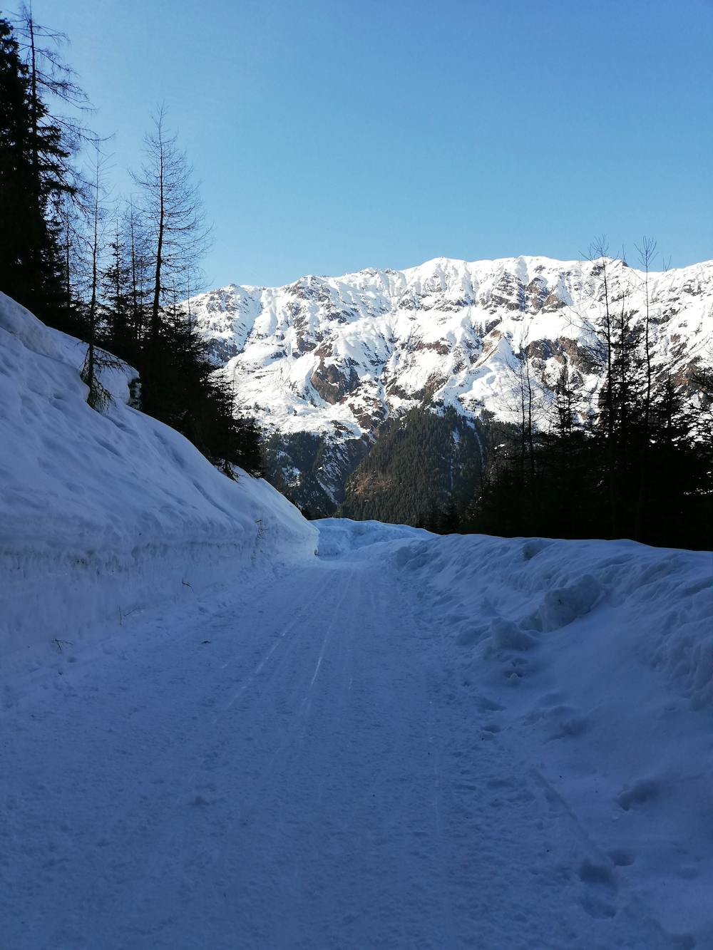
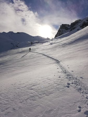
Start out at the Häuserer Navis car park (which you have to pay to park at) and follow a clear track easily up to first the Naviser Hut and then the Stöckalm Hut too. The Naviser Alm is a popular destination for keen sledgers so be aware of people suddenly coming around corners at top speed!
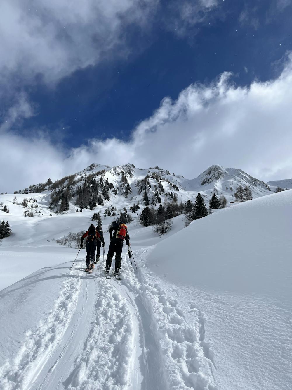
Upon reaching the Stöckalm follow a wide valley east-southeast towards the Naviser Kreuzjöchl's north-west ridge. The valley gradually steepens but it's never truly steep and the ascent is not technical. Eventually you'll crest the ridge and then follow it to the summit. The final climb onto the summit is utterly spectacular but easy so you can soak it in and enjoy the situation.
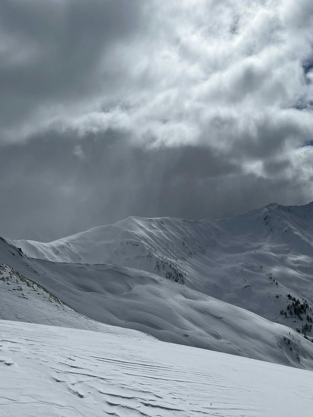
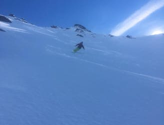
Once on the summit you've got a decision to make - either to ski down the ascent route or to follow the line drawn here and head into the huge bowl to the north. There are countless options down here and the terrain is massive so just seek out the best snow and features. Be aware that it's possible to end up too low down and be forced to put skins back on, so keep drifting left wherever possible so as to avoid any re-ascent.
Upon hitting the tree line push hard left and swing around to reach the track you began the day on. Follow this, cutting any corners with fun skiing between them, back to the carpark.
Difficult
Serious gradient of 30-38 degrees where a real risk of slipping exists.

Exposure is limited to that of the slope itself. Getting hurt is still likely if the slope is steep and/or the snow is hard.

Little chance of being seen or helped in case of an accident.
556 m away
A mellow, sunny ski tour in wild surroundings.
Moderate Ski Touring
968 m away
A stunning tour and a fabulous ski descent through some of the finest terrain in Tirol.
Severe Ski Touring
9.1 km away
A fun tour to a mountain hut and a spectacular view.
Moderate Ski Touring
10 km away
An incredible, long circuit around some of the Tirol's most wild peaks.
Moderate Ski Touring
5 routes · Ski Touring

50 routes · Freeride Skiing · Ski Touring
3 routes · Ski Touring

25 routes · Ski Touring