4.4 km away
Rosslaufspitze
An excellent tour just a few steps from the Inntal
Moderate Ski Touring
- Distance
- 11 km
- Ascent
- 1.1 km
- Descent
- 1.1 km
Short ski tour with a little ridge climb and a beautiful descent
Ski Touring Moderate

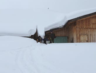
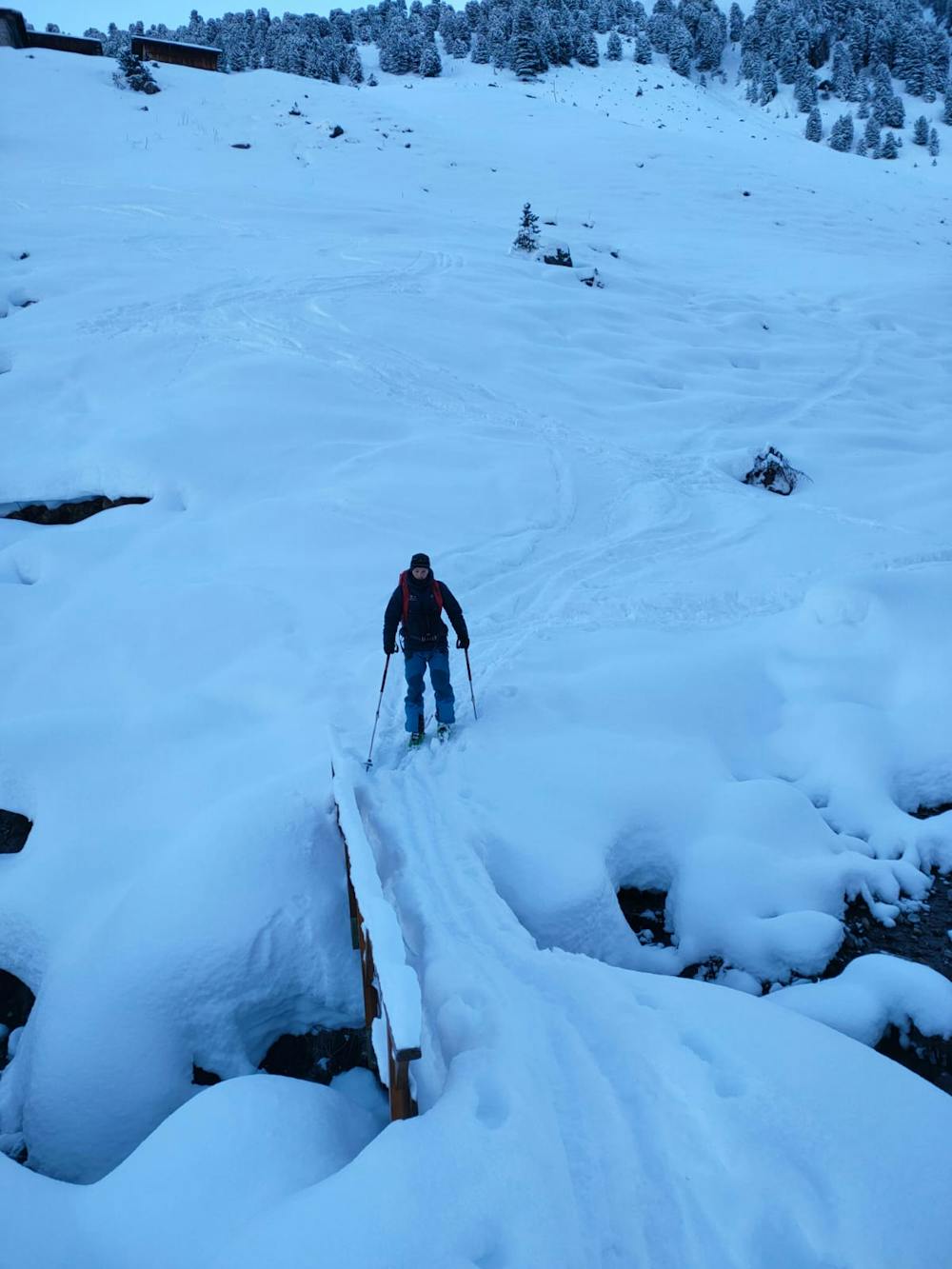
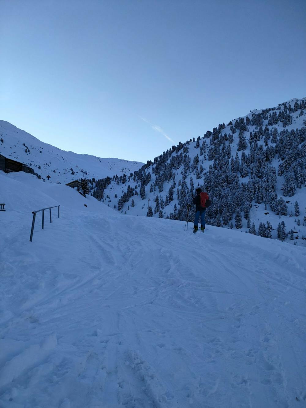
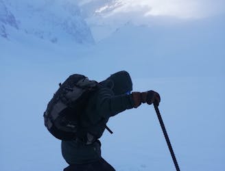
From the Weidener Hütte, first take the path towards the Nafingalm, but leave it after about 100 metres and descend to the Nafingbach stream. Then climb parallel to the stream and turn right at approx. 1900m. Follow the flattest part upwards, past the Hubertussptize (2205m - with cross) to approx. 2350m. There are often ski tracks up to here (possibility of descending to the east).
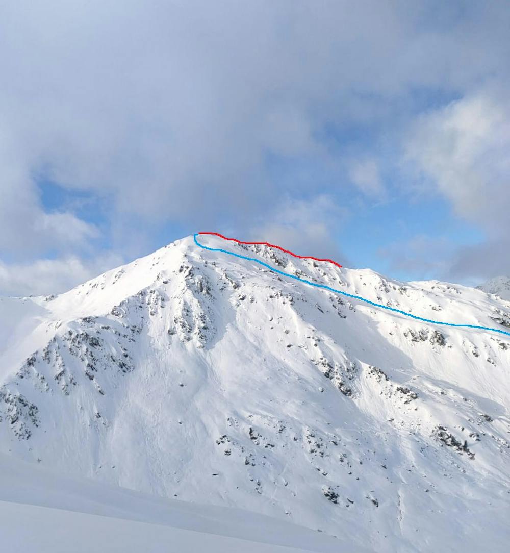
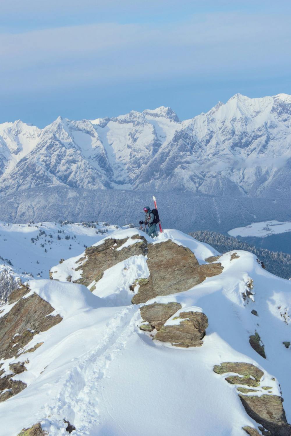
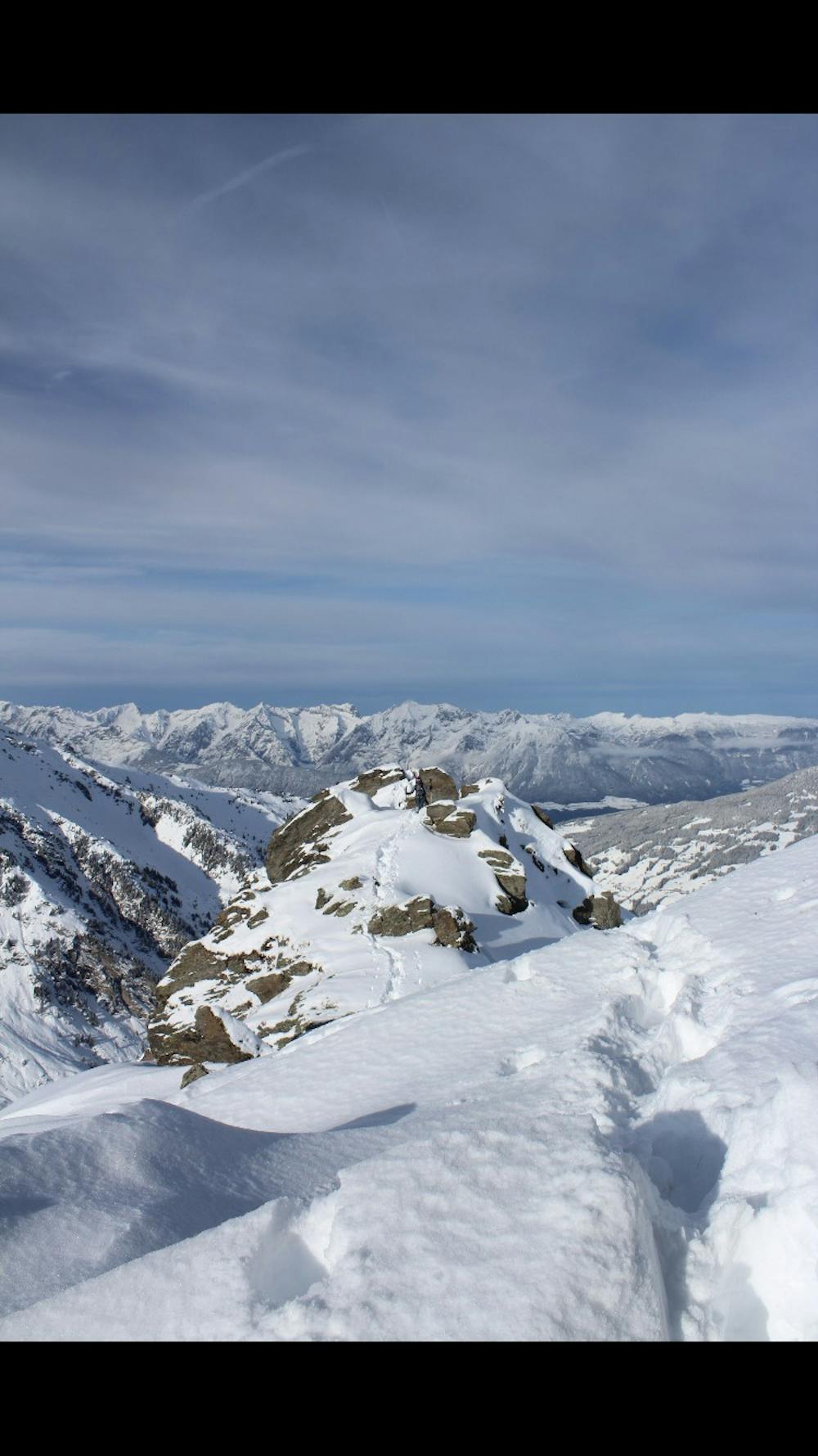
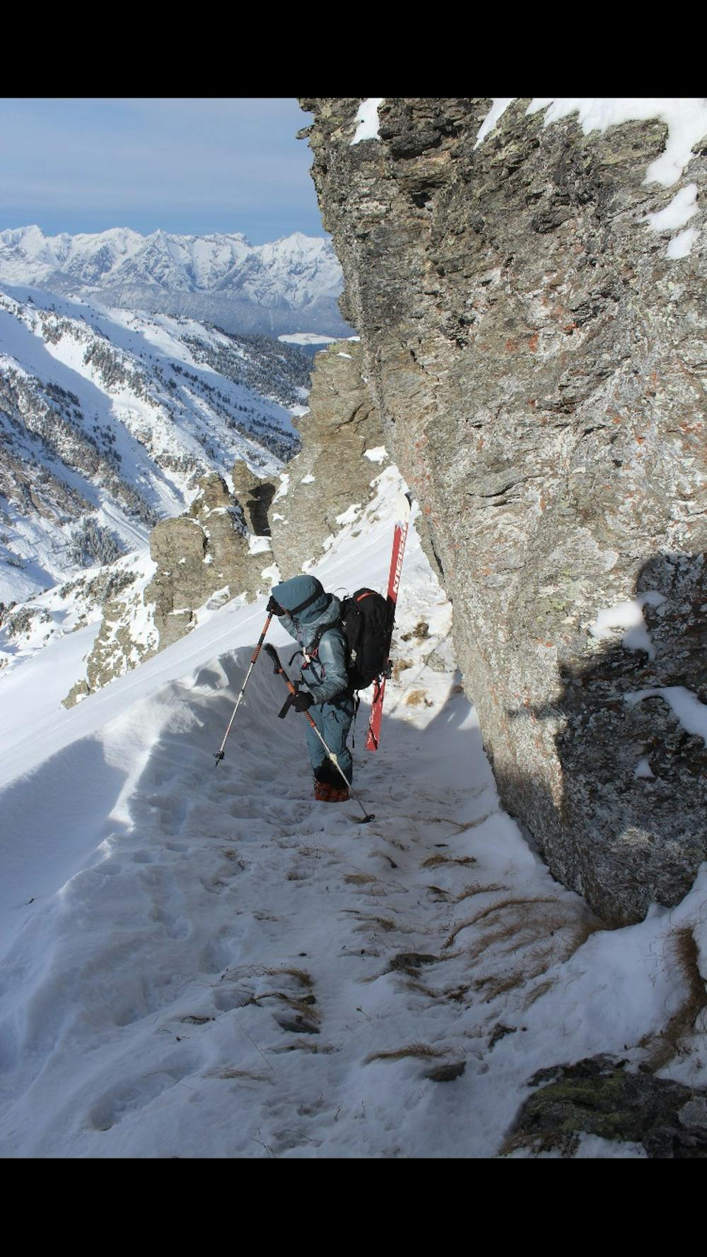
First with the skis along the ridge, always looking for the easiest line, then with the skis on the backpack over boulder terrain (I-II, tricky depending on snow conditions) to the summit of the Hobarjoch.
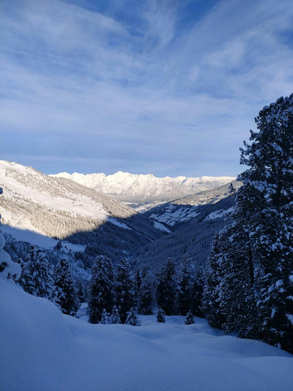
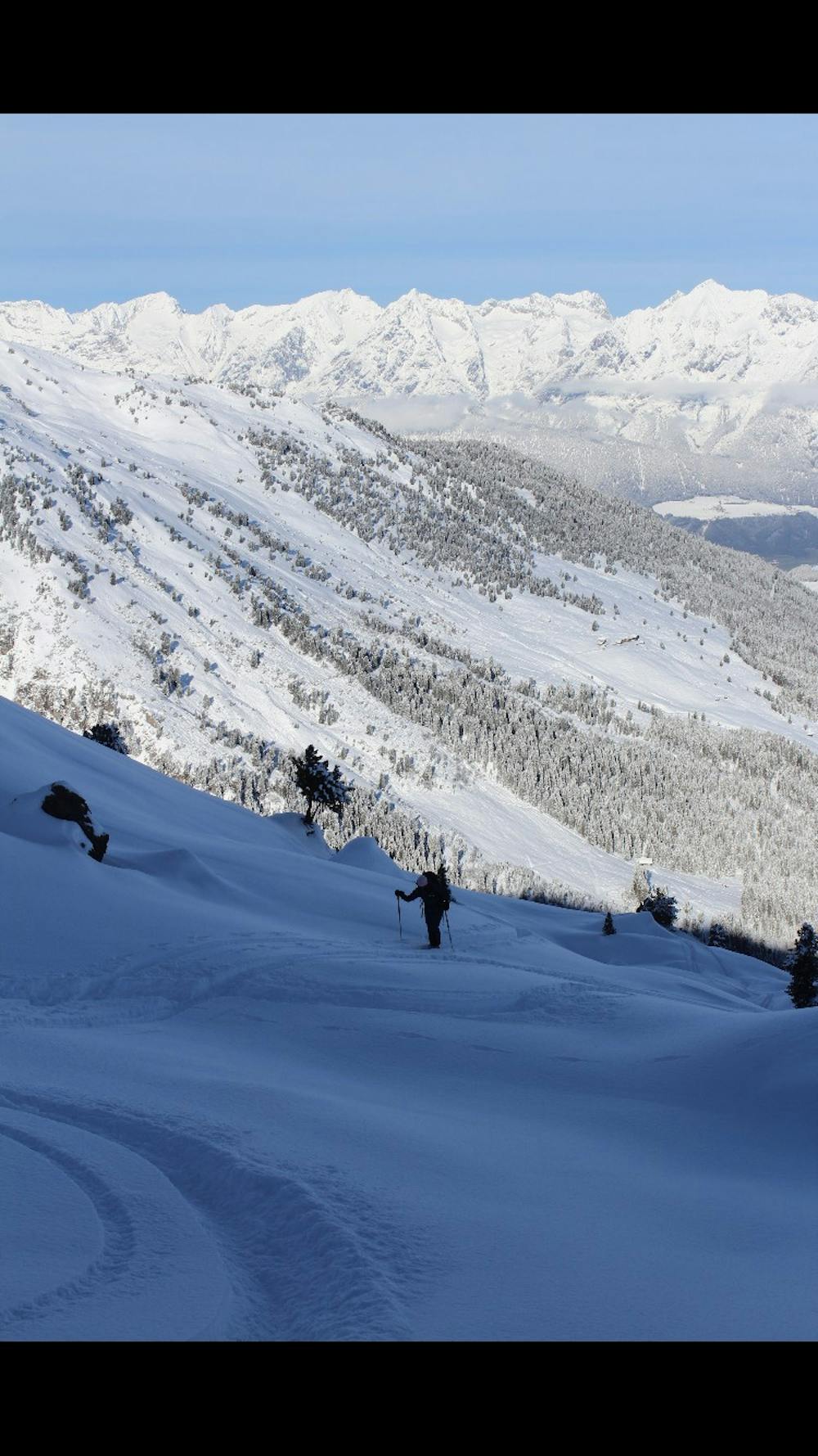
The descent is via the east ridge slope and the north-east flank to the Nafingbach below the Nafingalm. After a short ascent, you reach the forest road, which leads back to the Weidener Hütte.
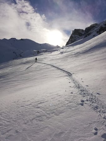
There are many possible variations for the descent. For example, you can ski along the northern slopes of the ascent route, the avalanche-prone north-west gully to the Grafennsalm or, in spring, down into the Tuxertal valley.
Moderate
Slopes become slightly steeper at around 25-30 degrees.

As well as the slope itself, there are some obstacles (such as rock outcrops) which could aggravate injury.
Away from help but easily accessed.
4.4 km away
An excellent tour just a few steps from the Inntal
Moderate Ski Touring
6.5 km away
An incredible, long circuit around some of the Tirol's most wild peaks.
Moderate Ski Touring
5 routes · Ski Touring

25 routes · Ski Touring