5.1 km away
Naviser Kreuzjöchl
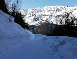
The classic of classics in the Navis valley!
Difficult Ski Touring
- Distance
- 12 km
- Ascent
- 1.2 km
- Descent
- 1.2 km
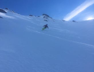
pretty nice skiing, but dangerous if there are persistent weak layers
Ski Touring Moderate

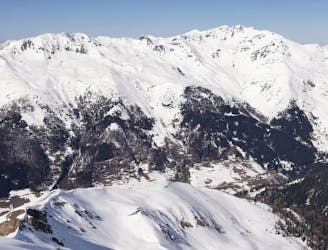
This is a popular ski touring route which is generally considered to be moderate. It's remote, it features low exposure (e1) and is typically done between December and March. From a low point of 1.6 km to the maximum altitude of 2.4 km, the route covers 4.1 km, 849 vertical metres of ascent and 848 vertical metres of descent. It's graded 2.3 and Labande grade 3. You'll need skins to complete it safely.
in the upper part pretty sick ski terrain, with lots of features and smal drops to hits. there are also some bigger drops, if you want to. The lower part is through the forest or in a small corridor between the trees.
Moderate
Slopes become slightly steeper at around 25-30 degrees.

Exposure is limited to that of the slope itself. Getting hurt is still likely if the slope is steep and/or the snow is hard.

Away from help but easily accessed.
5.1 km away
The classic of classics in the Navis valley!
Difficult Ski Touring
5.4 km away
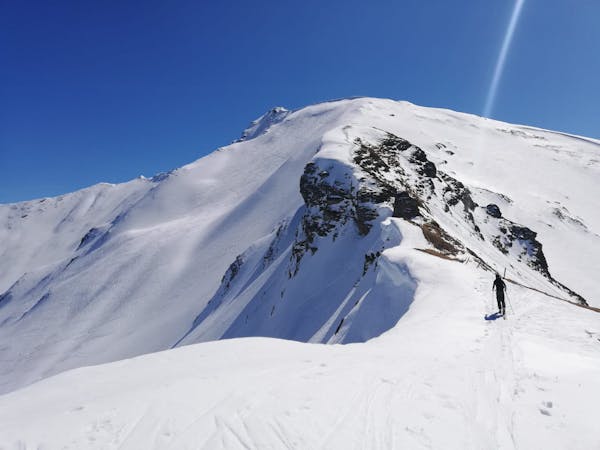
A stunning tour and a fabulous ski descent through some of the finest terrain in Tirol.
Severe Ski Touring
5.4 km away
A mellow, sunny ski tour in wild surroundings.
Moderate Ski Touring

50 routes · Freeride Skiing · Ski Touring
3 routes · Ski Touring

25 routes · Ski Touring