Kuhlochscharte
An exciting and varied tour from the Seefeld lift system
Severe Ski Touring
- Distance
- 13 km
- Ascent
- 1.1 km
- Descent
- 2.1 km
A serious but fun and varied half day journey through the Seefeld mountains.
Ski Touring Severe

The potential for ski touring in the valleys east of Seefeld ski area is virtually limitless, but this is a good place to start. You'll see plenty of amazing scenery and ski some epic terrain in the process of completing this tour.
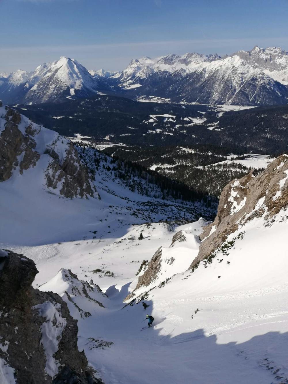

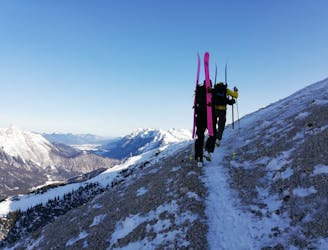
Start by riding the Härmelekopfbahn cable car and bootpack south out from the cable car station, following the line of the summer path towards the summit of the Härmelekopf peak. Depending on conditions it might be possible to walk on the path itself but in all but the leanest of conditions the path will be snow covered and you'll be bootpacking up snow. Not being the first people to do the bootpack will make things easier! Pass just south of the Härmelekopf and bootpack along the peak's south-east ridge. There can be huge cornices on the northern side of this ridge so stay a few metres right of the ridge crest itself. Much of the trip along the ridge is exposed so you will need to be a confident ski mountaineer to do it safely. If conditions are icy, you may be glad of crampons.
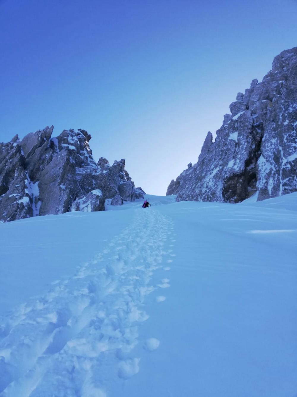
Follow the ridge as it undulates and then descends to the col separating the Härmelekopf from the Reither Spitze. Put skis on and traverse east across the top of a bowl (which makes a great ski line itself and is also described in FATMAP) to reach the foot of a narrow couloir with impressive rock walls on either side of it. Take skis off again and bootpack up the couloir to a hanging col above a sun-baked, south-east facing slope.
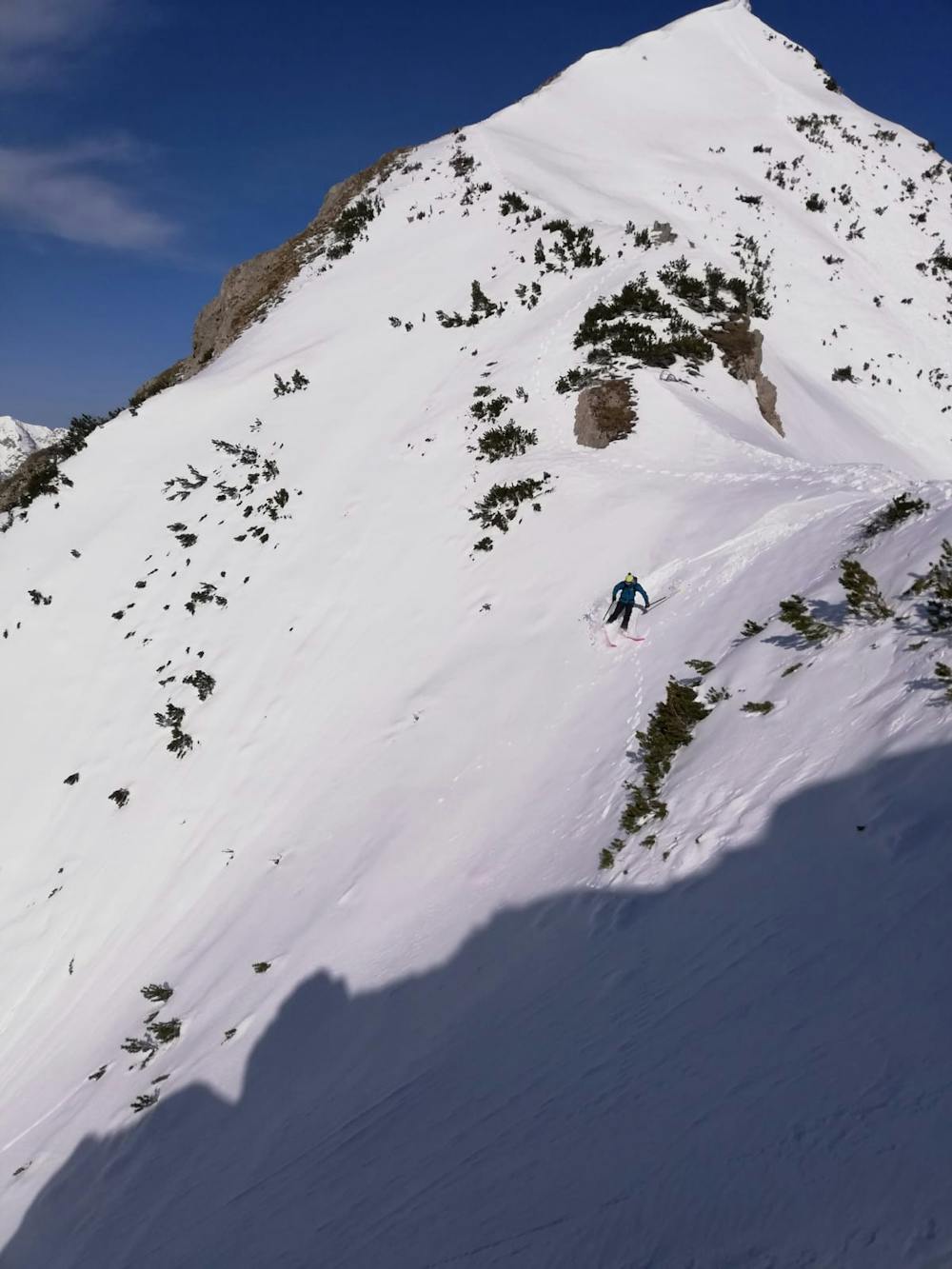
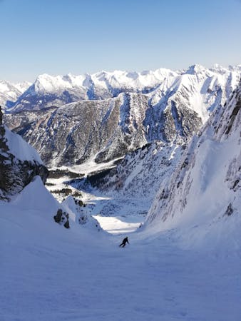
Drop onto the slope and after a couple of turns push out skier's left across a steep traverse above a rockband and then drop down to the col at the top of the Reither Spitze West Rinne ("Rinne" is German for "couloir"). The initial 10 metres of the line is extremely steep and many skiers choose to downclimb into the line rather than side slipping in. However you get in, the bulk of the line is pure fun and the skiing is neither overly steep nor technical. When the couloir opens up, rip down the mellow, wide open slopes below to reach a small plateau.
Put skins on and make the steep ascent to the obvious col west-northwest of the plateau. In some conditions the slope you skin up to the col could be avalanche prone, so judge whether this is the case before starting, and stay alert to conditions as you ascend. If you judge the slope to be unsafe, take the track out to Gießenbach village as described in the Reither Spitze Freeride line.
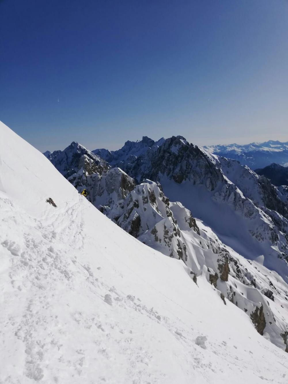
Assuming conditions are safe, skin up to the col and then drop off the back of it down a gorgeous curving couloir which deposits you into the Reither Spitze north bowl. Cross this to join the Härmelekopf Nord Rinne's lower gully where it hits the tree line.
It's possible to ski just about anywhere in the trees but don't drift too far from the main gully - there are a few cliffs about and you don't want to miss the track that leads back to the pistes. Just keep with the gully and you'll gradually be pushed left onto a track that takes you skier's left down towards a river. Cross the river and carry on down the (usually moguled) track and it will lead you to the Verbindungsabfahrt piste and then the Rosshütten Express chairlift.
Severe
Steep skiing at 38-45 degrees. This requires very good technique and the risk of falling has serious consequences.

As well as the slope itself, there are some obstacles (such as rock outcrops) which could aggravate injury.

Little chance of being seen or helped in case of an accident.
An exciting and varied tour from the Seefeld lift system
Severe Ski Touring
5 routes · Freeride Skiing · Ski Touring

25 routes · Ski Touring