7.1 km away
Hobarjoch via north ridge
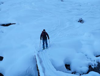
Short ski tour with a little ridge climb and a beautiful descent
Moderate Ski Touring
- Distance
- 5.3 km
- Ascent
- 771 m
- Descent
- 779 m
Nice route from Vorderlanersbach to the top of Rastkogel. Mostly close to piste.
Ski Touring Difficult

This is a popular ski touring route which is generally considered to be difficult. It's not remote, it features low exposure (e1) and is typically done between December and March. From a low point of 1.3 km to the maximum altitude of 2.8 km, the route covers 19 km, 1635 vertical metres of ascent and 1415 vertical metres of descent. You'll need skins to complete it safely.
Skitour from Tux Vorderlanersbach to Rastkogel
Difficult
Serious gradient of 30-38 degrees where a real risk of slipping exists.

Exposure is limited to that of the slope itself. Getting hurt is still likely if the slope is steep and/or the snow is hard.
Close to help in case of emergency.
7.1 km away
Short ski tour with a little ridge climb and a beautiful descent
Moderate Ski Touring