Kaiser Achter
Wilder Kaiser
Quite challenging but very beatiful 'infinity' route with technical ascends and descends
Trail Running Severe
- Distance
- 27 km
- Ascent
- 3.3 km
- Descent
- 3.3 km
- Duration
- 1 day +
- Low Point
- 1.1 km
- High Point
- 2.1 km
- Gradient
- 24˚

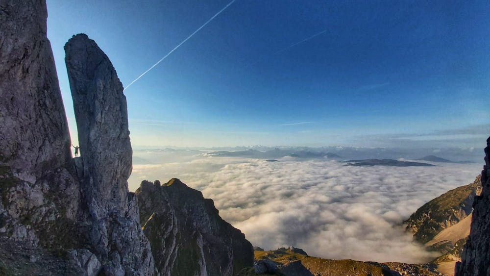
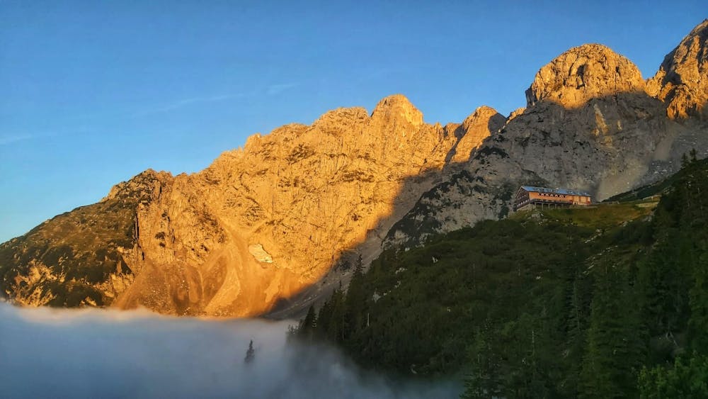
This is a popular trail running route which is generally considered to be severe. It's remote, it features extreme exposure and is typically done between July and October. From a low point of 1.1 km to the maximum altitude of 2.1 km, the route covers 27 km, 3305 vertical metres of ascent and 3308 vertical metres of descent.
Description
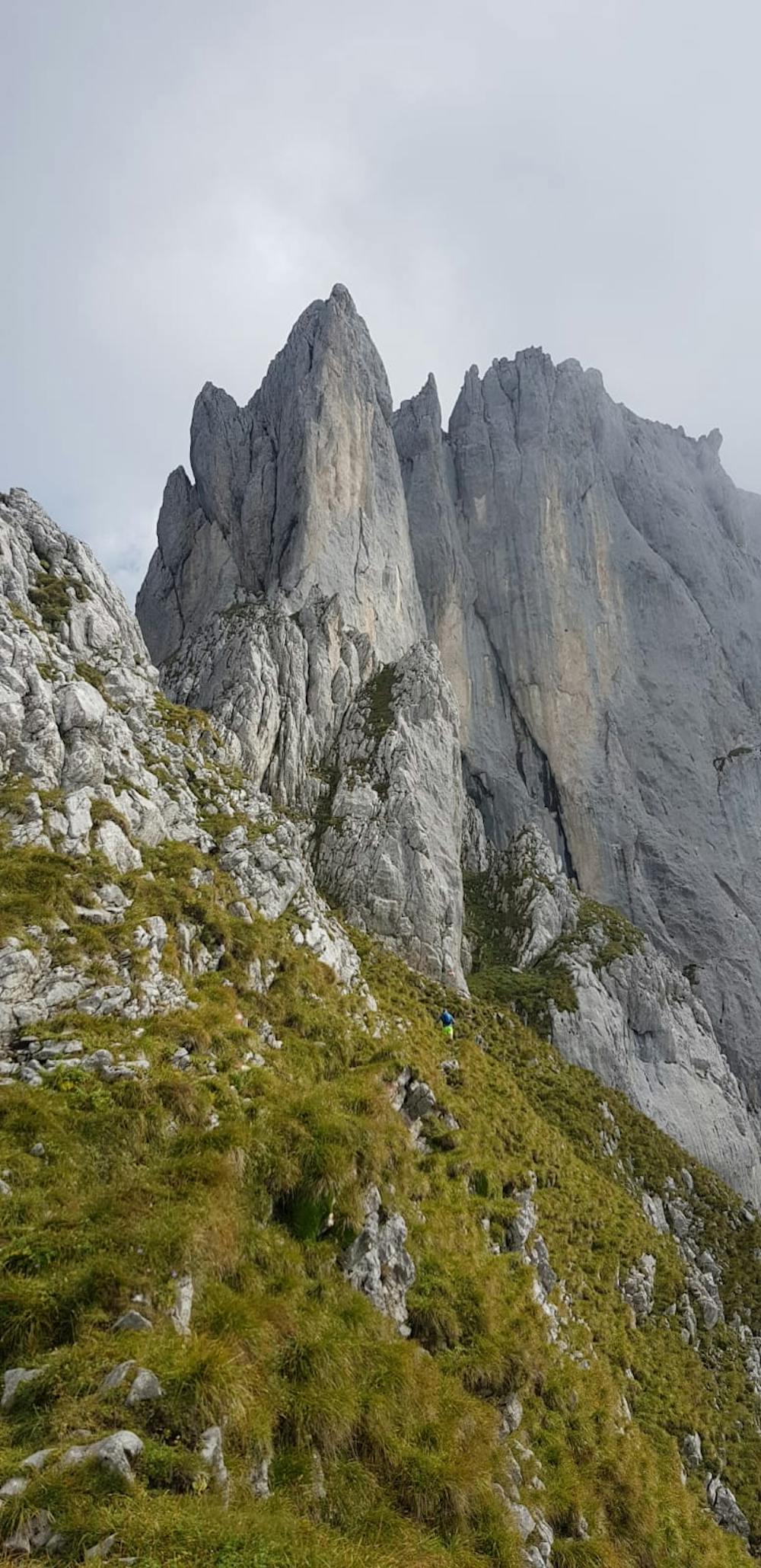
A day filling activity (at least for us :) with long, steep and tecnical ascends and descends. The route runs trough Kopftörl, Ellmauer Tor and kleines Törl. There are some sections with wire rope and extreme exposure, so please be careful!
Difficulty
Severe
Extreme Exposure

Some trail sections are extremely exposed where falling will almost certainly result in serious injury or death.
Remoteness

Away from help but easily accessed.