Nederjoch from Fulpmes
Innsbruck
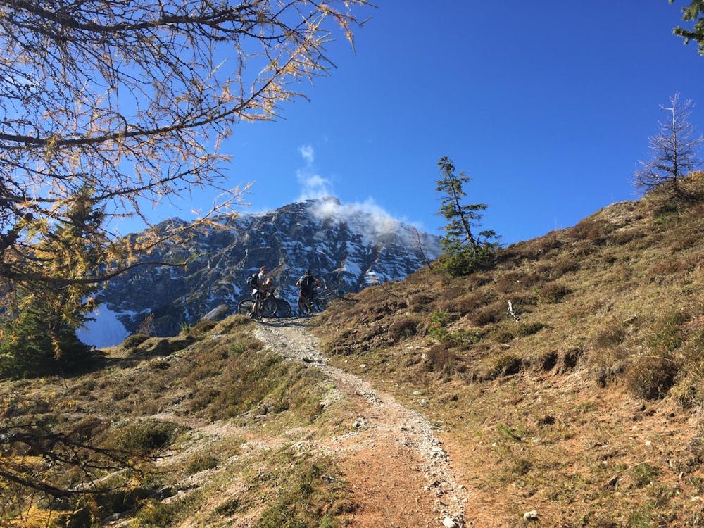
From Fulpmes to Nederjoch peak, through steep trail
Trail Running Difficult
- Distance
- 4.3 km
- Ascent
- 1.1 km
- Descent
- 1 m
- Duration
- 1-2 hrs
- Low Point
- 1.1 km
- High Point
- 2.1 km
- Gradient
- 18˚

This is a popular trail running route which is generally considered to be difficult. It's not remote, it features low exposure and is typically done between May and November. From a low point of 1.1 km to the maximum altitude of 2.1 km, the route covers 4.3 km, 1065 vertical metres of ascent and 1 vertical metres of descent.
Description
Amazing view of Stubaital and Inntal from the top of Nederjoch. Steep trails were running is not always permitted
Difficulty
Difficult
Low Exposure

The path is on completely flat land and potential injury is limited to falling over.
Remoteness
Close to help in case of emergency.