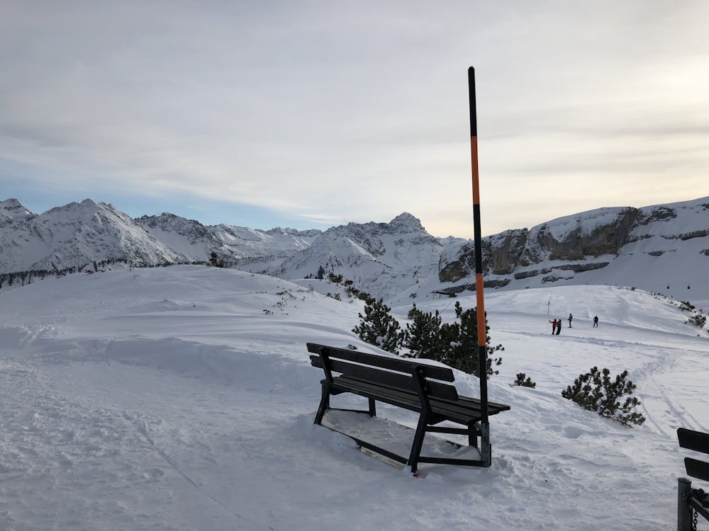
97 m away
Ifen Wäldele

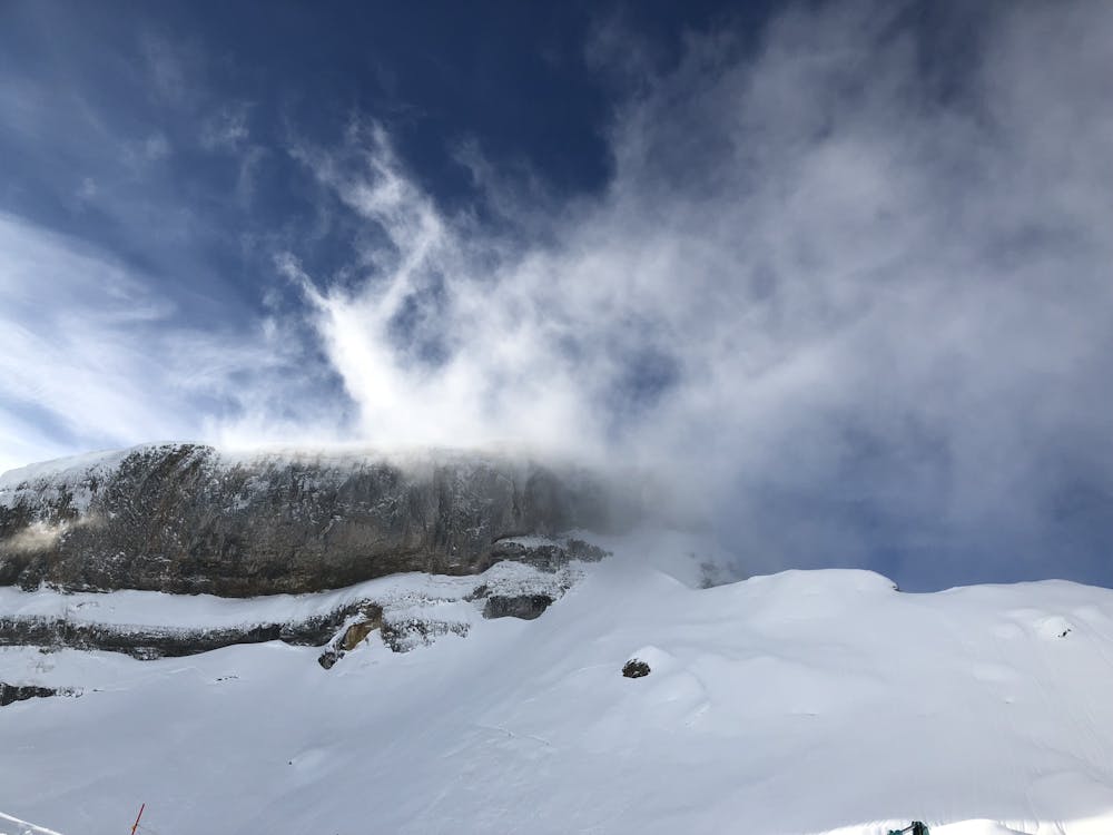
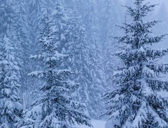
A beautiful Freeride run from Ifen over the Gottesacker into Wäldele. Good in most conditions.
Difficult Freeride Skiing
- Distance
- 7.7 km
- Ascent
- 181 m
- Descent
- 1.1 km
A beautiful freeride line that's safe in most conditions
Freeride Skiing Moderate

This is a popular freeride skiing route which is generally considered to be moderate. It's remote, it features low exposure (e1) and is typically done between December and February. From a low point of 1.1 km to the maximum altitude of 2 km, the route covers 8 km, 42 vertical metres of ascent and 966 vertical metres of descent.
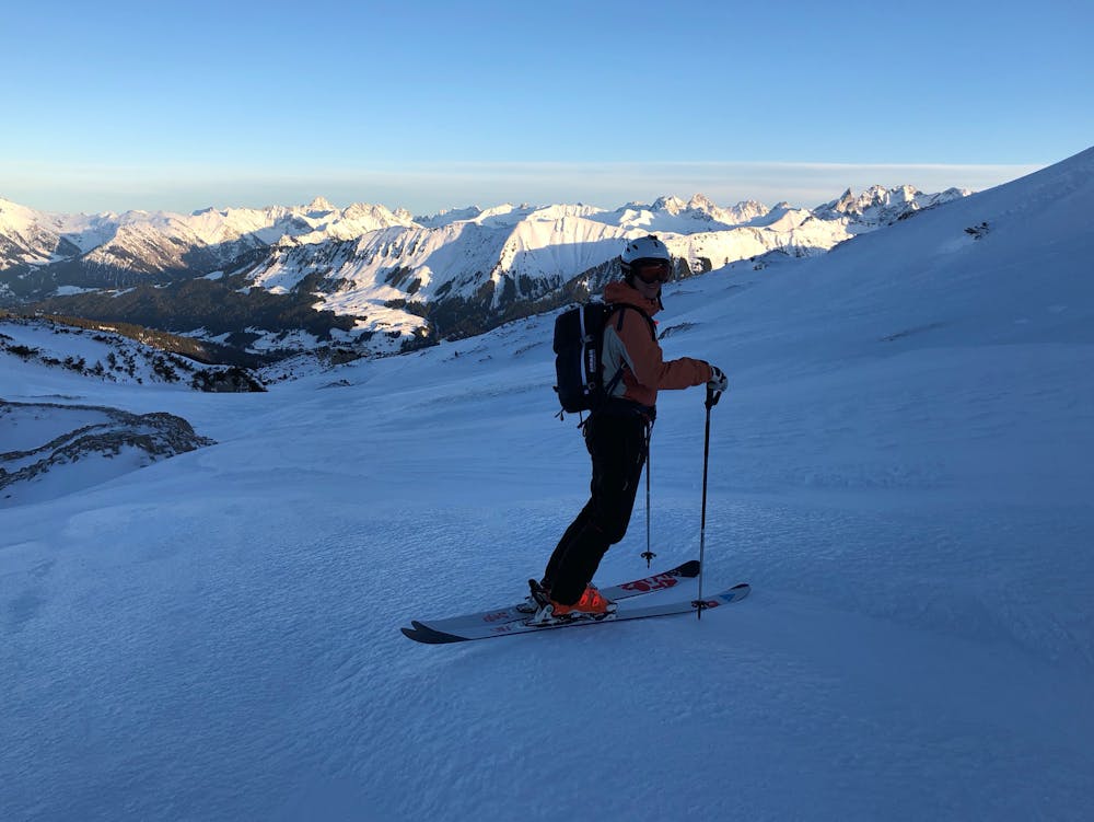

This route includes a variety of landscapes over lava fields and through trees.
Moderate
Slopes become slightly steeper at around 25-30 degrees.

Exposure is limited to that of the slope itself. Getting hurt is still likely if the slope is steep and/or the snow is hard.

Away from help but easily accessed.
97 m away
A beautiful Freeride run from Ifen over the Gottesacker into Wäldele. Good in most conditions.
Difficult Freeride Skiing
3.5 km away

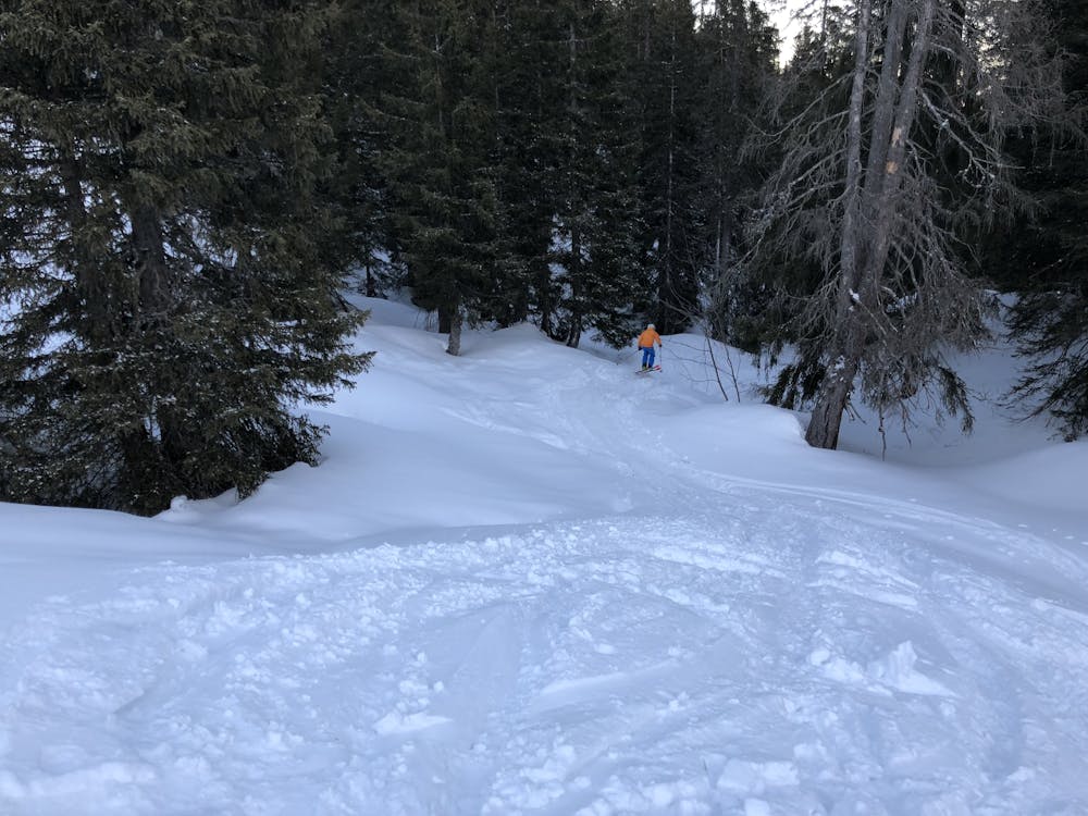
There are many ways down and in good conditions (and for good skiers) you can actually go straight and blast through the bushes.
Difficult Freeride Skiing
3.5 km away
There are many ways down, and even more entrances!
Difficult Freeride Skiing