5.9 km away
Via Alpina: Schesaplana Hut to Carschina Hut
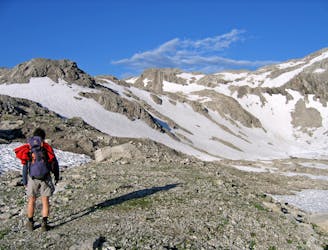
Day 5 of the 7 day Via Alpina hiking itinerary along the limestone cliffs of Rätikon.
Difficult Hiking
- Distance
- 16 km
- Ascent
- 640 m
- Descent
- 318 m
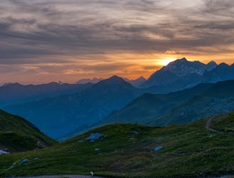
Hut-to-hut backpacking route around Ratikon Alps in 4 days
Hiking Moderate

This is a popular hiking route which is generally considered to be moderate. It's remote, it features medium exposure and is typically done between June and September. From a low point of 1.6 km to the maximum altitude of 2.9 km, the route covers 49 km, 3827 vertical metres of ascent and 3826 vertical metres of descent.
Lunersee, Schesaplan, and Sulzfluh
Moderate
Hiking along trails with some uneven terrain and small hills. Small rocks and roots may be present.

The trail contains some obstacles such as outcroppings and rock which could cause injury.
Away from help but easily accessed.
5.9 km away
Day 5 of the 7 day Via Alpina hiking itinerary along the limestone cliffs of Rätikon.
Difficult Hiking
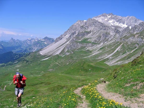
8.6 km away
Day 6 of the 7 day Via Alpina hiking itinerary along the limestone cliffs of Rätikon.
Moderate Hiking
7 routes · Hiking