6.5 km away
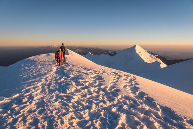
Pequeno Alpamayo Day 2
Another day of serene trekking which includes climbing a stunningly situated peak
Difficult Hiking
- Distance
- 8.4 km
- Ascent
- 603 m
- Descent
- 525 m
A peaceful start to the trek through some other-worldly terrain
Hiking Difficult

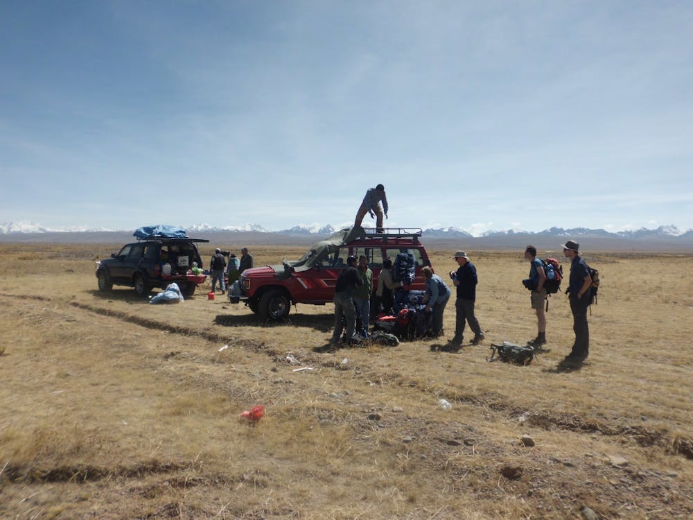
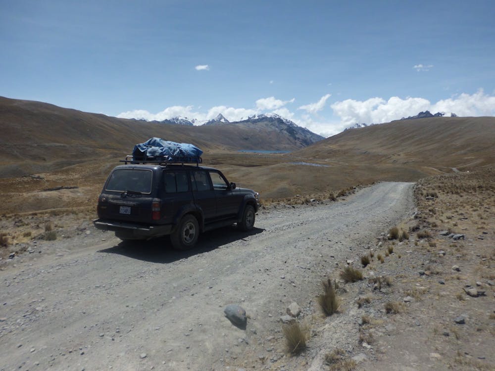
This 4 day adventure begins at the beautiful and wild Khotia Lake, which is one of 3 in the Jichukota Valley. The lake is reached by 4x4 vehicle, and 4 days later you’ll need another 4x4 pickup, so this trip requires some planning beforehand if it is to executed well. Luckily there are a number of excellent operators in La Paz who specialise in organising trekking logistics, and you’ll need to employ one of them to help you out. In addition to organising transport, they can also provide you with a cook crew and a bunch of llamas to carry your kit. Given that you’ll be trekking for 3 days and mountaineering for 1, carrying all the equipment and supplies required would turn this lovely 4 day adventure into a real slog, so make sure you get some helpers (both human and animal!) to literally lighten your load.
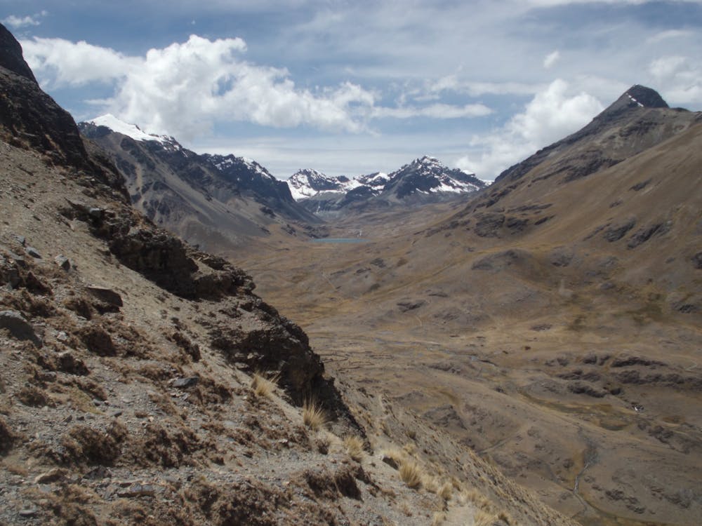
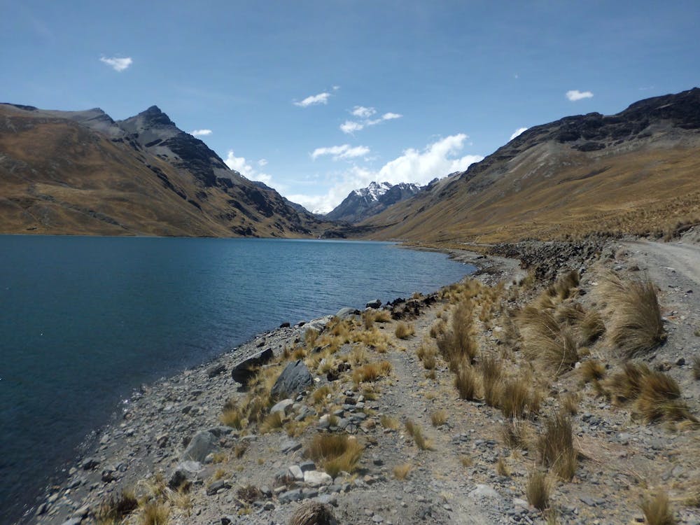
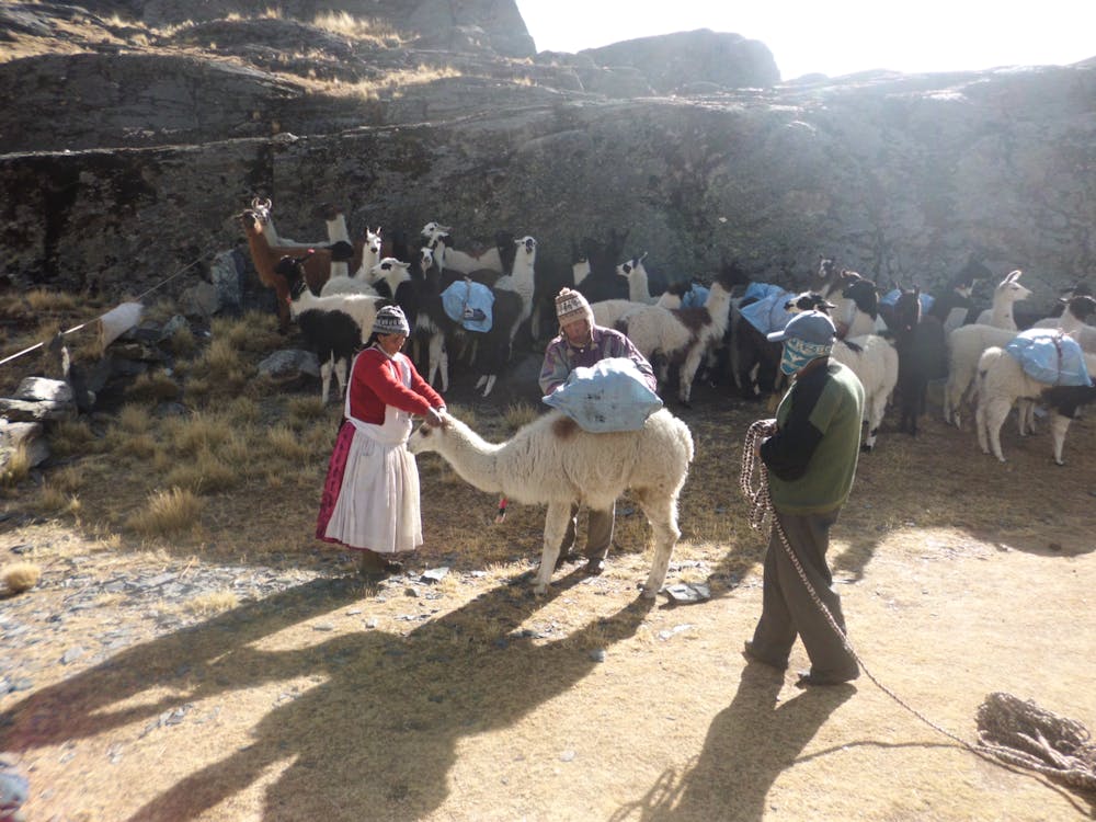
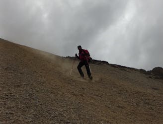
None of the 3 trekking days are too physically strenuous but all take place at high altitude so it’s vital to have spent a few days in La Paz and (ideally) a couple at Lake Titicaca getting your body accustomed to the thin air. Once you do get underway with the trek, begin by climbing to a pass and then descending a steep scree slope down to a river. Next to the river are the fascinating remains of an old tin mine called Mina Ventilla. From the remains head east to reach a lovely flat campsite next to Ajwani Lake, which is a serene spot from which to look out for the local animals, which (if you’re lucky) will include several species of large birds and maybe even some wild llamas. If there are no wild llamas to see, your equipment will be getting carried by some “tame” llamas and these are fun (if slightly bad tempered) creatures to observe!
Difficult
Hiking trails where obstacles such as rocks or roots are prevalent. Some obstacles can require care to step over or around. At times, the trail can be worn and eroded. The grade of the trail is generally quite steep, and can often lead to strenuous hiking.

The path is on completely flat land and potential injury is limited to falling over.

Little chance of being seen or helped in case of an accident.
6.5 km away
Another day of serene trekking which includes climbing a stunningly situated peak
Difficult Hiking
7 routes · Alpine Climbing · Hiking