5.5 km away
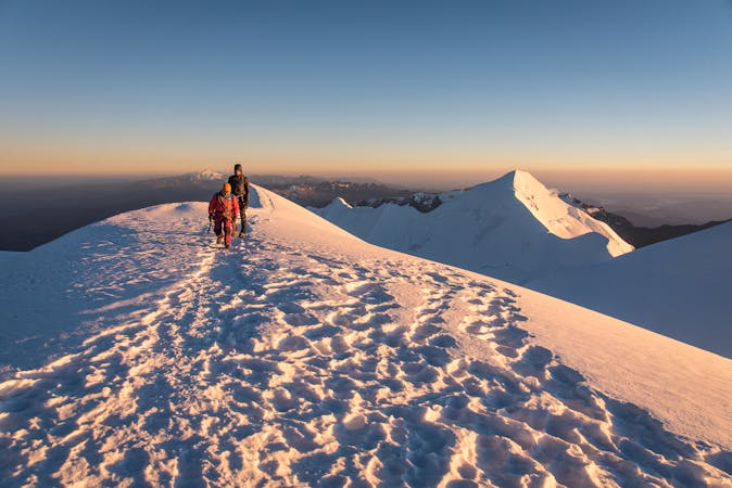
Pequeno Alpamayo Day 3
The toughest and most spectacular day yet on the trip
Severe Hiking
- Distance
- 6 km
- Ascent
- 463 m
- Descent
- 491 m
Another day of serene trekking which includes climbing a stunningly situated peak
Hiking Difficult

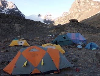
After a (hopefully) peaceful evening next to the lake, don’t rush out of bed because today is not a long day and enjoying a leisurely breakfast in scenery like this is a pleasure. Watching your llamas being loaded up with kit and supplies is irresistibly comical too and you’ll want to witness it. The animals are grouchy and are constantly nipping at their herders, who in turn are constantly chastising the animals for not standing still. It’s all harmless fun and part of the experience of trekking through this part of the World.
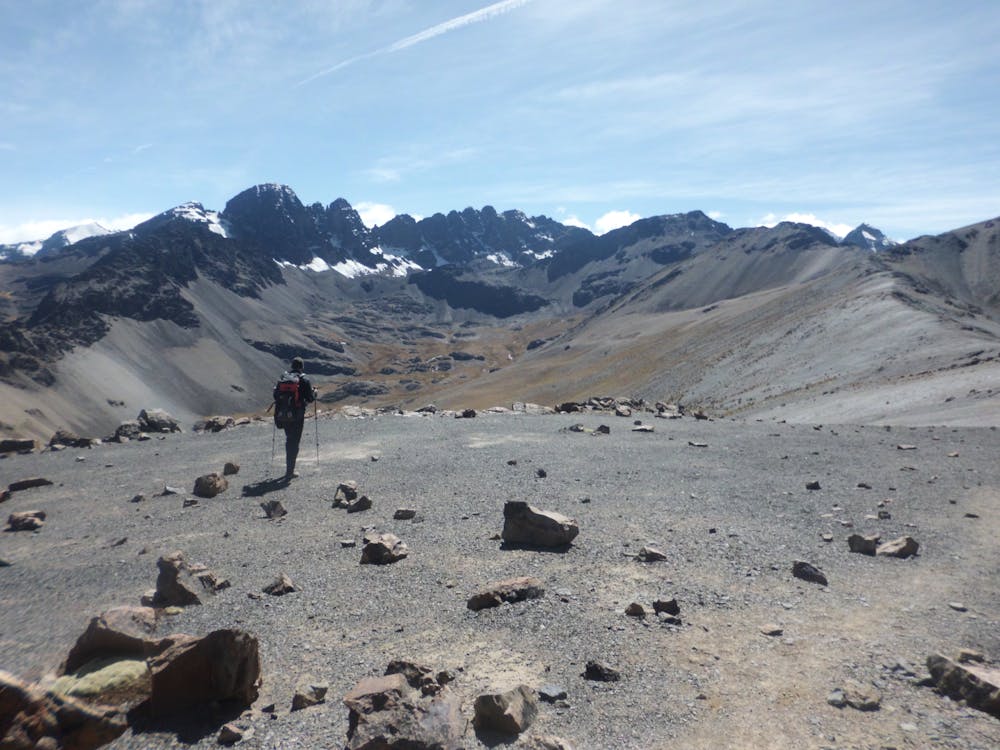
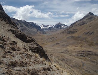
The trek for today begins with a climb up from Ajwani Lake (steeply at times) to reach a long, broad ridge coming down from the summit of Milluni Peak. Follow the ridge all the way to the top and enjoy the fabulous panorama across the Bolivian plains to Lake Titicaca and across to Huayna Potosí, which is a highly recommended follow up to this 4 day adventure.
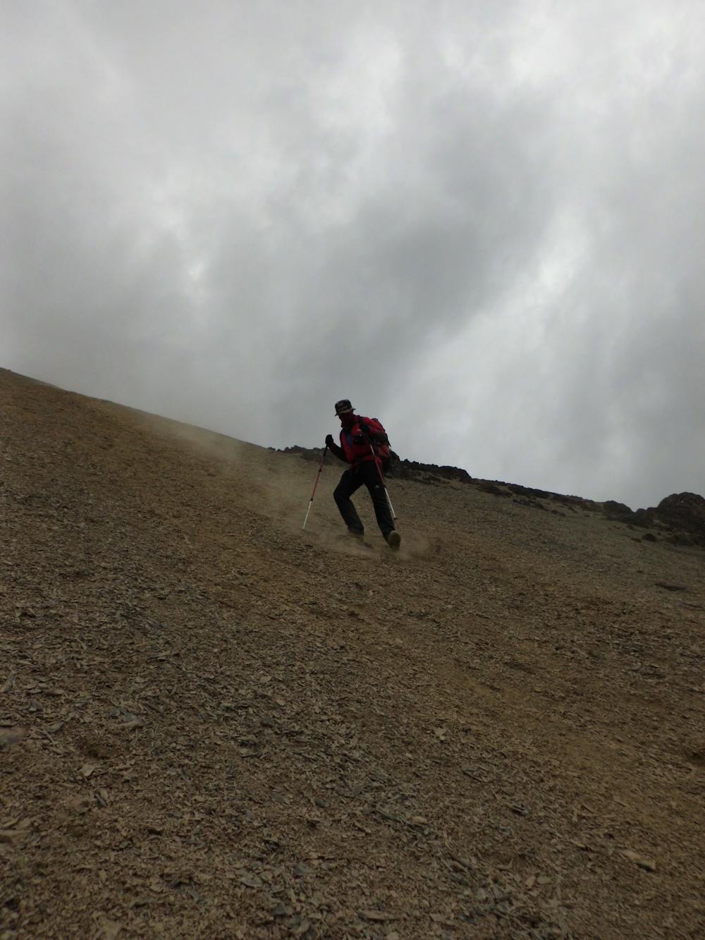
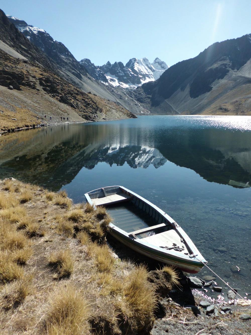
Descend a fun scree slope to the south to reach a path which makes a descending traverse down into a small, desolate valley. From here, cross the Janchallani Pass and head down to another stunning campsite at the southern end of the Juri Khota lake. The view looking up the lake towards the Condoriri peaks is fabulous and after a few days of moving through barren, almost moon-like terrain, it feels great to suddenly be close to entering the high Andes. Settle down for a peaceful night next to the lake and enjoy what is (weather permitting) a particularly spectacular sunset from the campsite.
Difficult
Hiking trails where obstacles such as rocks or roots are prevalent. Some obstacles can require care to step over or around. At times, the trail can be worn and eroded. The grade of the trail is generally quite steep, and can often lead to strenuous hiking.

The path is on completely flat land and potential injury is limited to falling over.

Little chance of being seen or helped in case of an accident.
5.5 km away
The toughest and most spectacular day yet on the trip
Severe Hiking
6.5 km away
A peaceful start to the trek through some other-worldly terrain
Difficult Hiking
7 routes · Alpine Climbing · Hiking