Serra Fina
Most famous traverse in Brazil
Also in São Paulo, Brazil
Hiking Severe
- Distance
- 24 km
- Ascent
- 2.2 km
- Descent
- 2 km
- Duration
- 1 day +
- Low Point
- 1.6 km
- High Point
- 2.8 km
- Gradient
- 20˚

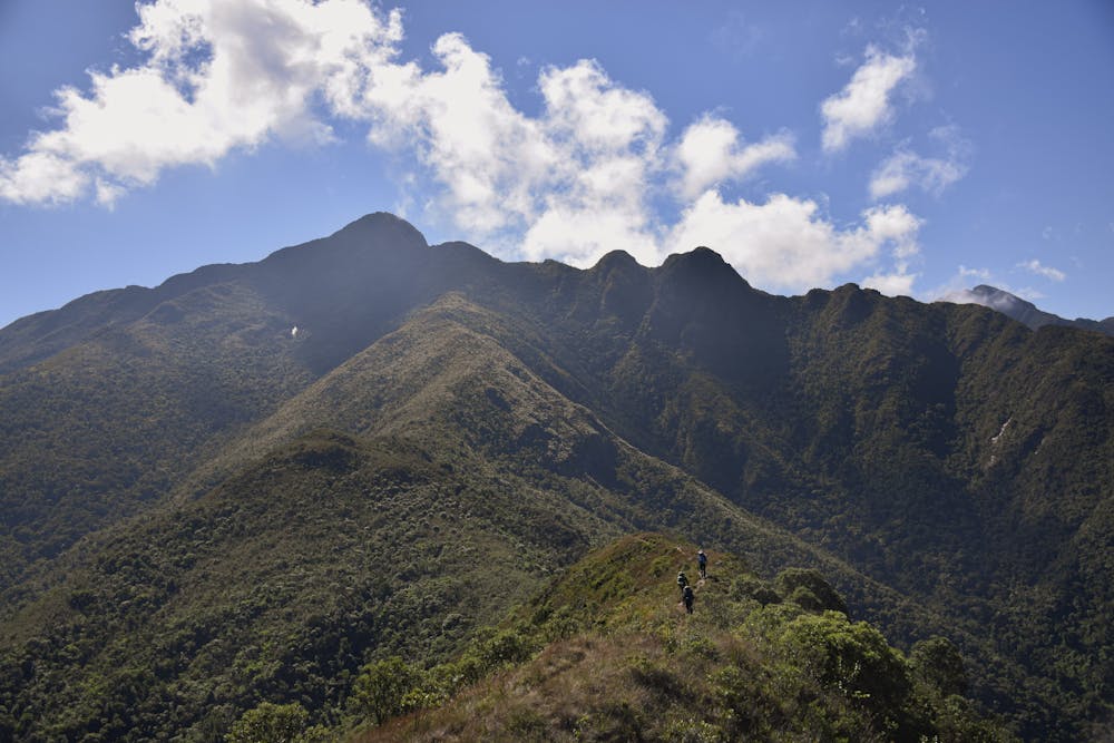
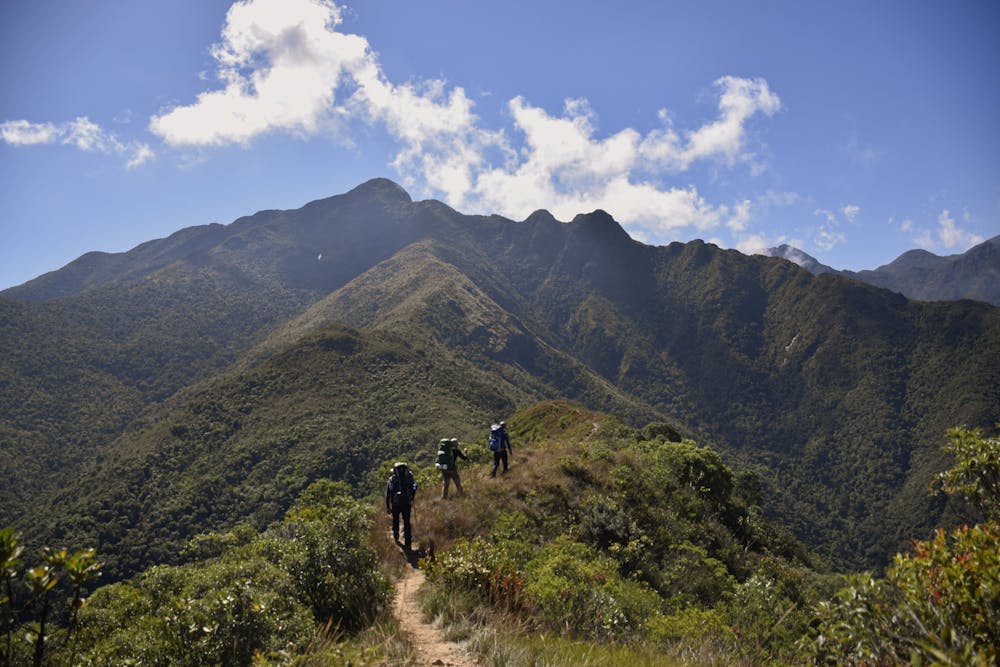
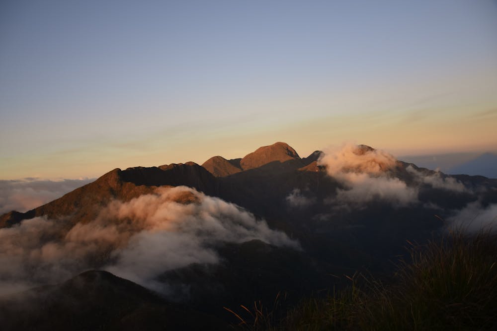
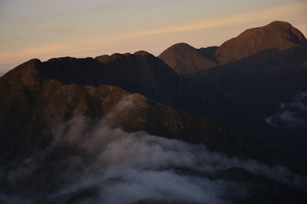
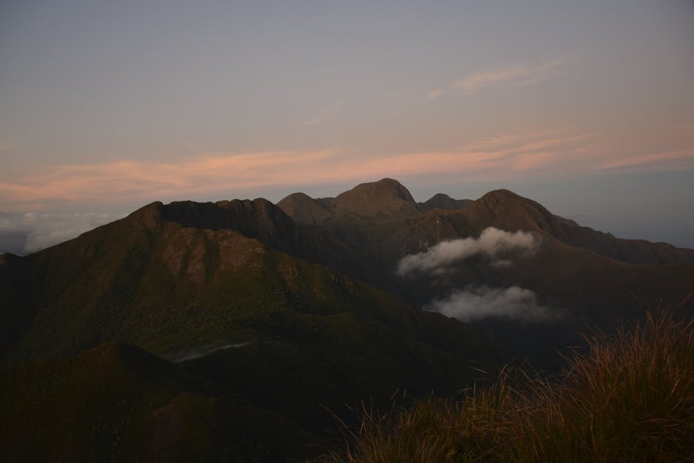
Serra Fina is a mountain range located on the triple border of the states of Minas Gerais, Rio de Janeiro, and São Paulo, along the Serra da Mantiqueira.
- •
- •
- •
- •
- •
- •
Description
The Serra Fina Traverse has one of the highest topographical differences in the national territory, above 2,000m, and the highest part of the mountain Pedra da Mina, is the fourth highest point in Brazil and has an altitude of 2,798m.
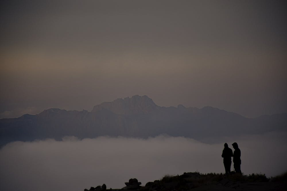
Considered one of the most difficult crossings in Brazil, the Serra Fina is indicated for people who have already practiced other crossings with camping and with a high degree of difficulty. There are few water points during the crossing, many hours of walking per day in stretches of great unevenness, and it requires a high level of stamina and physical effort.
It can be done in two, three, or four days.
Difficulty
Severe
Hiking challenging trails where simple scrambling, with the occasional use of the hands, is a distinct possibility. The trails are often filled with all manner of obstacles both small and large, and the hills are very steep. Obstacles and challenges are often unexpected and can be unpredictable.
Medium Exposure

The trail contains some obstacles such as outcroppings and rock which could cause injury.
Remoteness

Little chance of being seen or helped in case of an accident.
Best time to visit
Features
- Wildlife
- Summit Hike
- Wild flowers
- Forestry or heavy vegetation