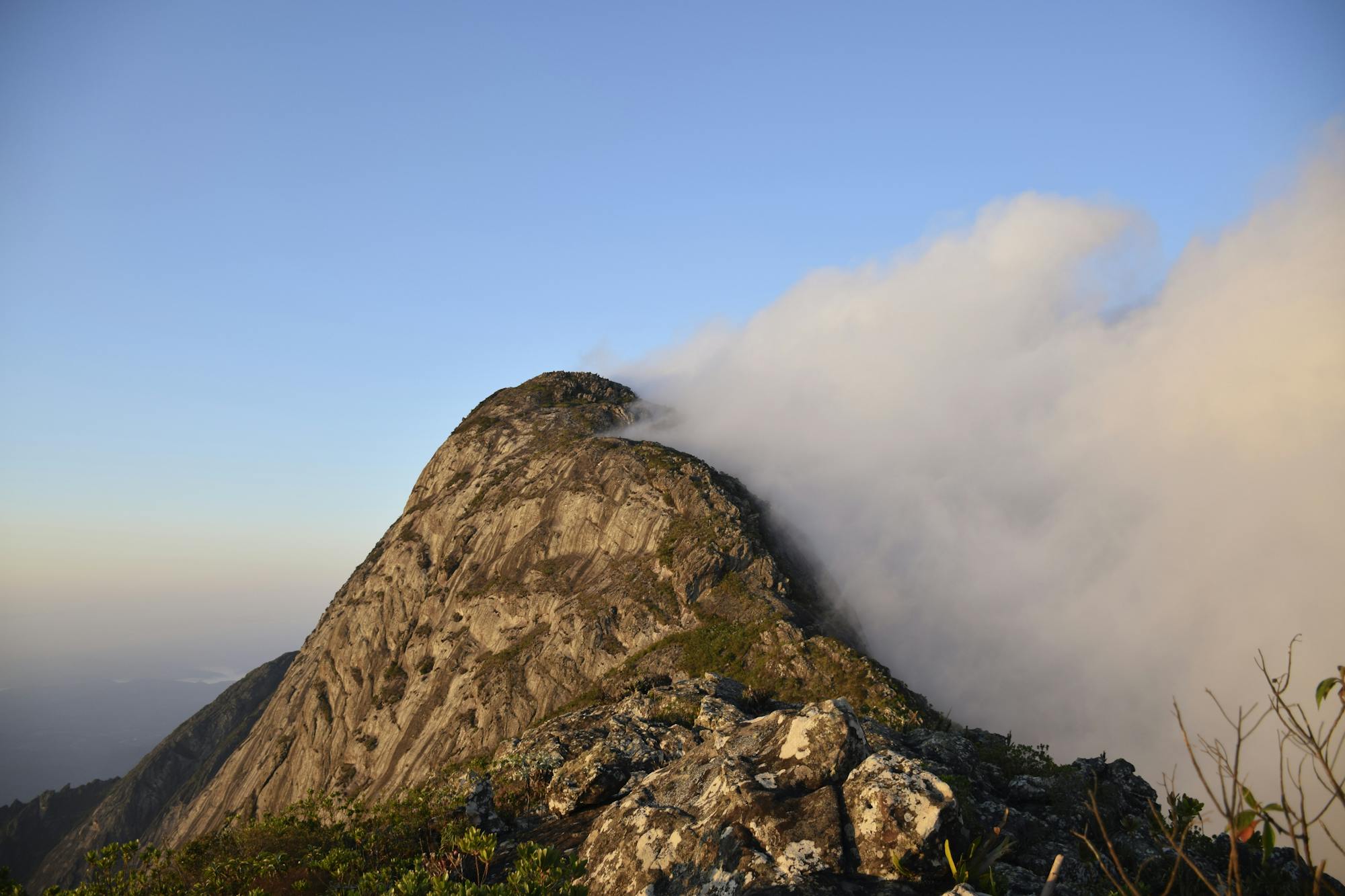
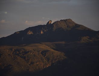
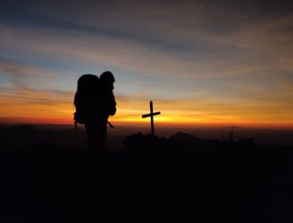
Serra Fina
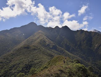
Most famous traverse in Brazil
Severe Hiking
- Distance
- 24 km
- Ascent
- 2.2 km
- Descent
- 2 km
Explore Minas Gerais with curated guides of the best routes. With over 6 3D trail maps in FATMAP, you can easily discover and navigate the best trails in Minas Gerais.
No matter what your next adventure has in store, you can find a guide on FATMAP to help you plan your next epic trip.
Get a top trail recommendation in Minas Gerais, or get inspired by the 6 local adventures uploaded by the FATMAP community. Start exploring now!
Most famous traverse in Brazil
Severe Hiking
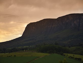
National Park Canastra
Difficult Driving 4x4
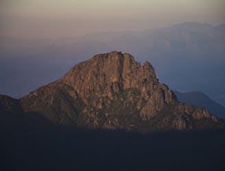
South side of Mantiqueira
Difficult Hiking
Iconic Peak in Ouro Preto, Brazil
Moderate Hiking
Top of Espinhaço Mountains, Brazil
Severe Hiking

MTB - POUSO ALEGRE - SANTA RITA - E. ANTIGA
Moderate Mountain Biking