Velingrad - Gradot - Elin vrah
Hiking route from Velingrad to Mt Elin vrah
Hiking Difficult
- Distance
- 4.2 km
- Ascent
- 762 m
- Descent
- 0 m
- Duration
- 2-3 hrs
- Low Point
- 787 m
- High Point
- 1.5 km
- Gradient
- 16˚

English translation below
- •
- •
- •
- •
- •
- •
- •
- •
- •
- •
- •
- •
- •
- •
Description
Кратко описание на маршрута
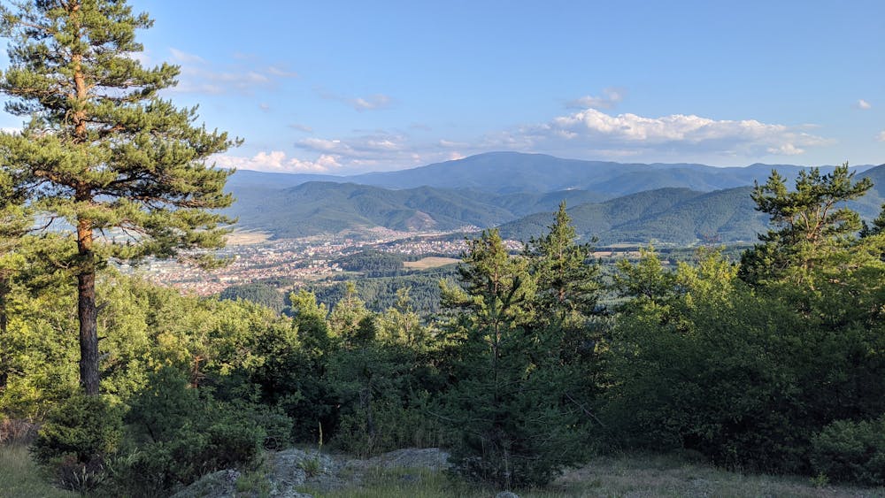
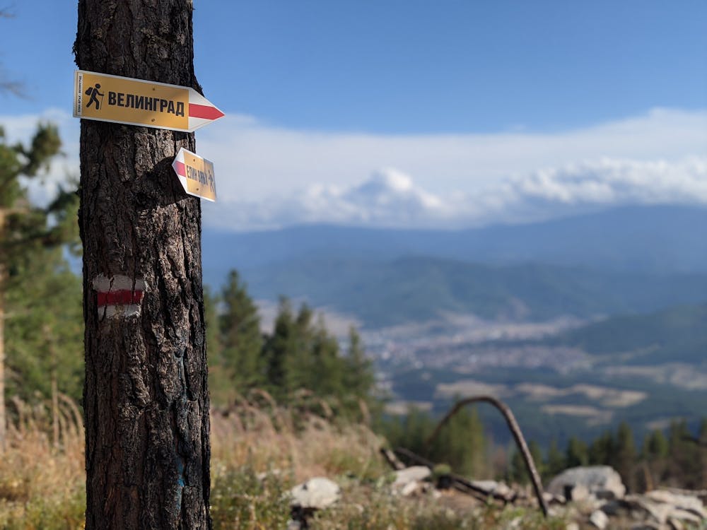
0.0 км - начало на маршрута в центъра на квартал Каменица;
0.9 км - след последните къщи на квартала завивате вдясно по горски път с червена маркировка;
1.6 км - навлизате в гората. Започва стръмно изкачване;
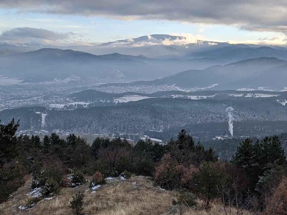
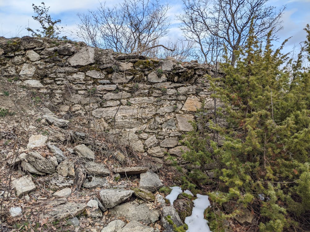
2.5 км - достигате до руините на средновековното укрепление “Градот”. Вляво от руините има скала с хубава гледка;
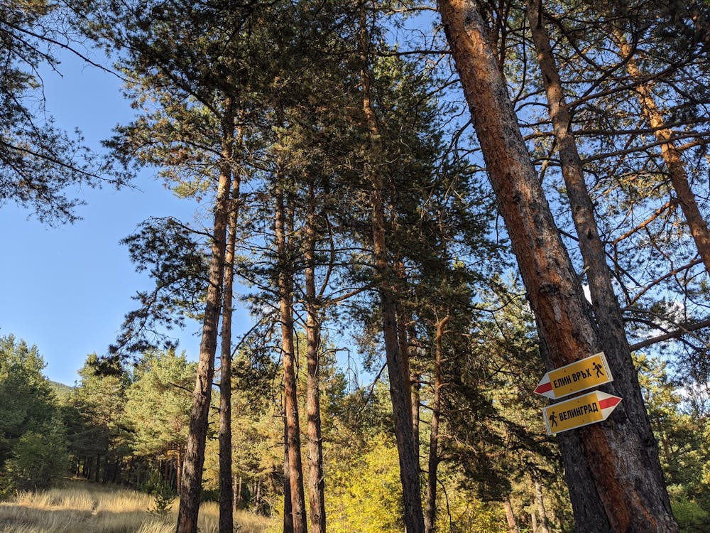
3.1 км - достигате пресечената точка с маршрута от Извор до Уличките и Стария чарк. Продължете нагоре / направо;
3.4 км - вляво се отбива пътека към местността Драгиче. Продължете нагоре / направо;
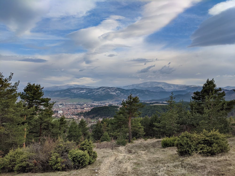
3.7 км - достигате до обширно открито пространство - следа от голям горски пожар;
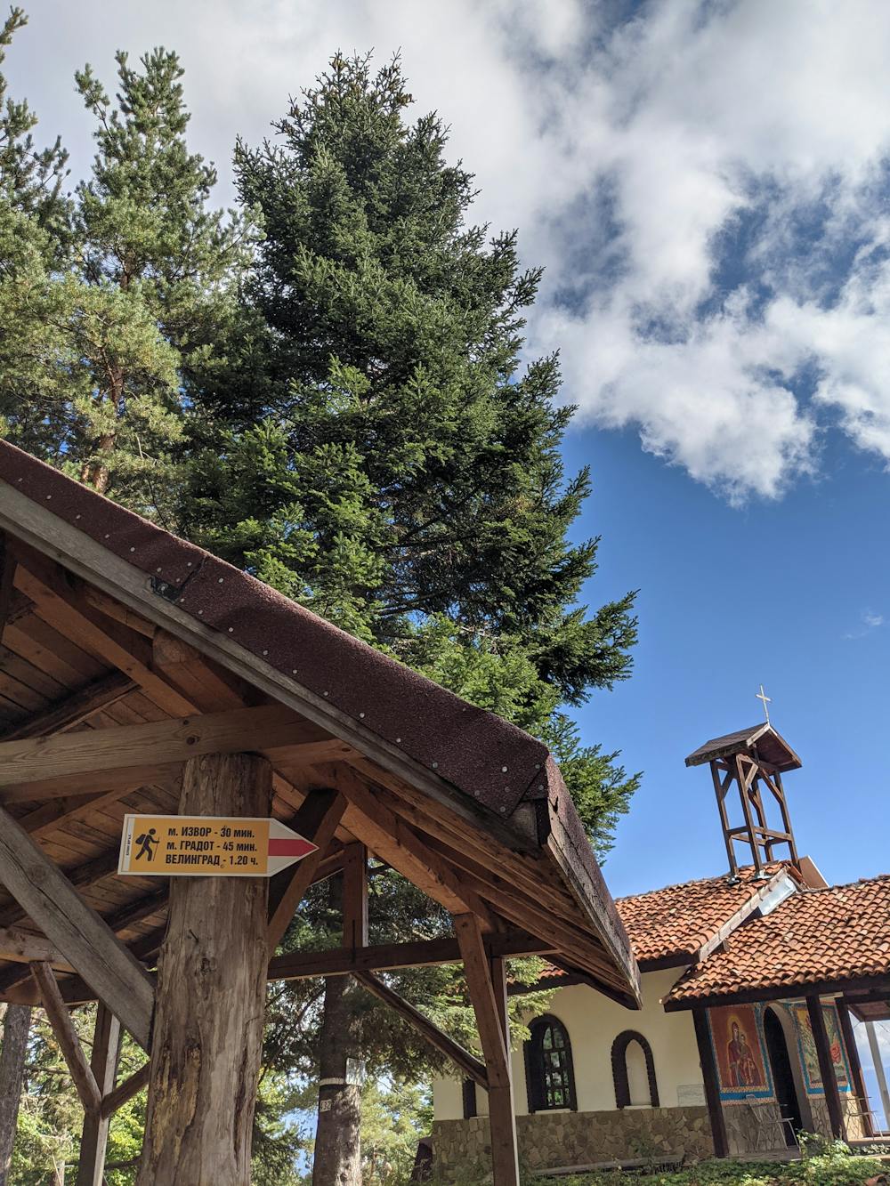
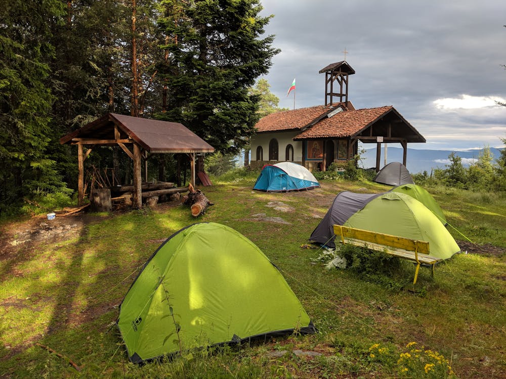
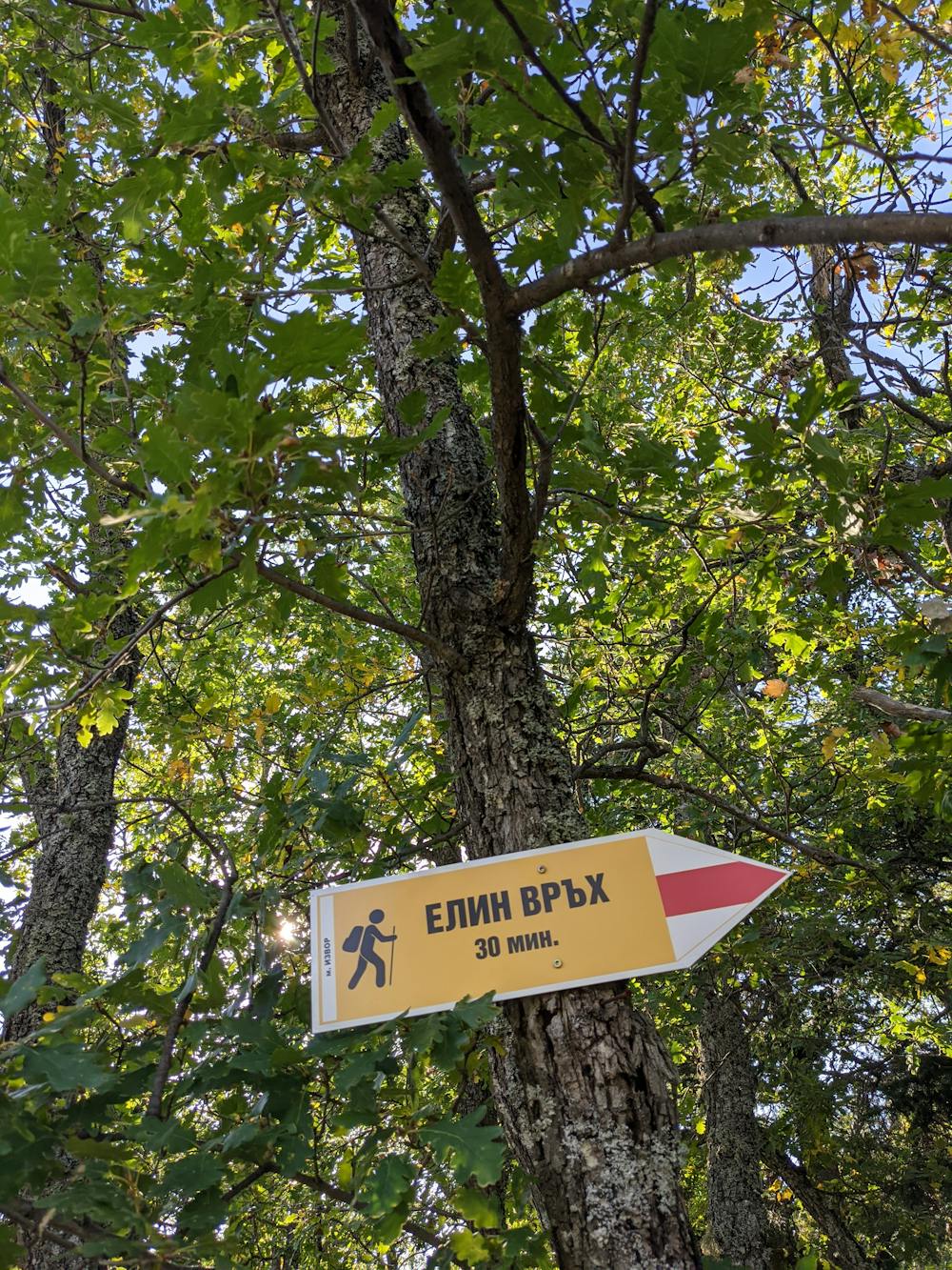
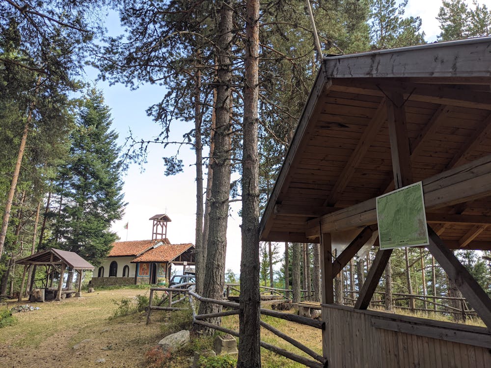
4.2 км - Елин връх. Край на маршрута.
Short description of the route
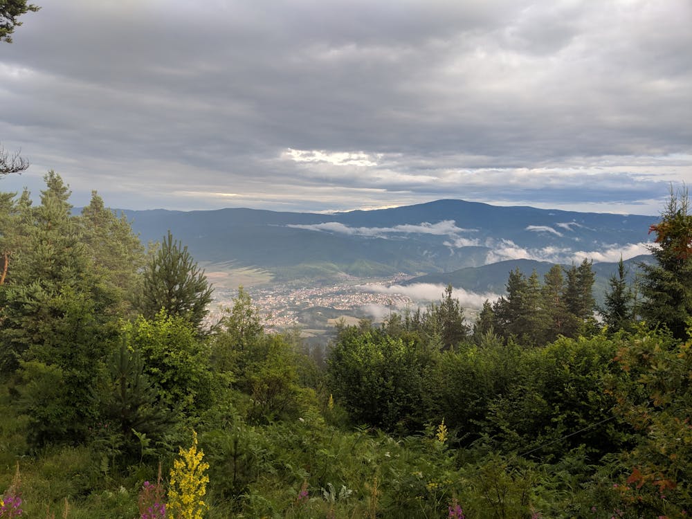
0.0 км - the center of Kamenitsa neighbourhood is where the starting point of the route is;
0.9 км - turn right on the forest road marked with red color after the last houses of the neighbourhood;
1.6 км - going deeper into the forest. A steep climb begins;
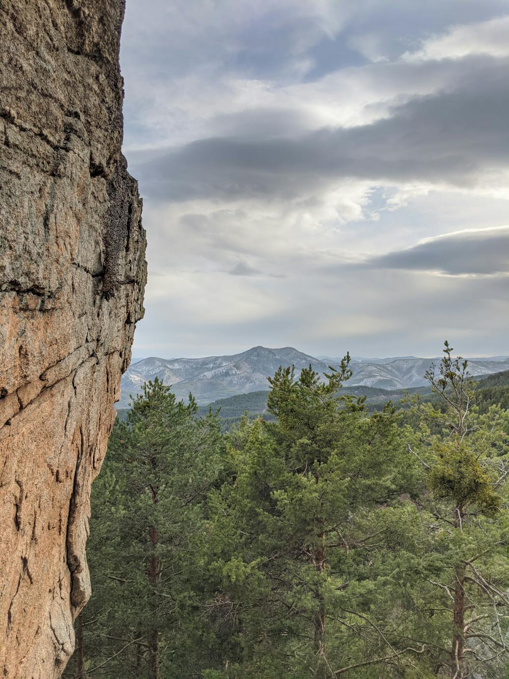
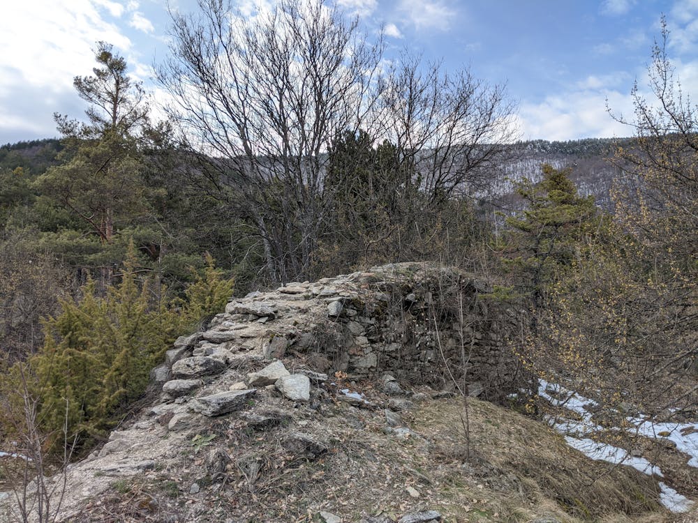
2.5 км - ruins of "Gradot" mediaval fornification. There's a rocks formation with a beautiful viewpoint on the left side of it;
3.1 км - intersection with the route Izvor - Ulichkite - Staria chark. Continue straight/up;
3.4 км - turn off for "Dragiche" area is on the left. Continue straight/up;
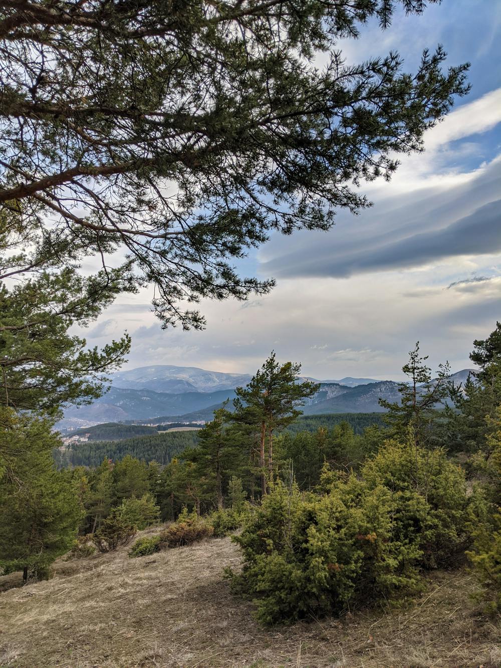
3.7 км - reaching traces of a large fire in a vast open space;
4.2 км - Elin peak. End of the route.
Difficulty
Difficult
Hiking trails where obstacles such as rocks or roots are prevalent. Some obstacles can require care to step over or around. At times, the trail can be worn and eroded. The grade of the trail is generally quite steep, and can often lead to strenuous hiking.
Low Exposure

The path is on completely flat land and potential injury is limited to falling over.
Remoteness

Away from help but easily accessed.
Best time to visit
Features
- Historical
- Picturesque
- Summit Hike
- Dog friendly
- Wild flowers
- Forestry or heavy vegetation