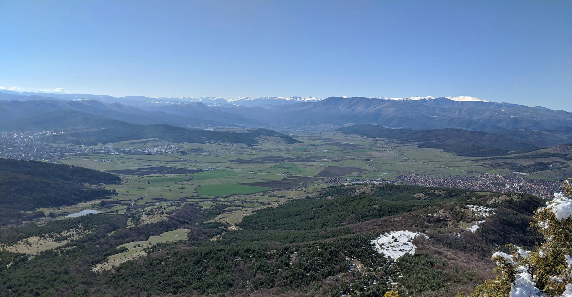
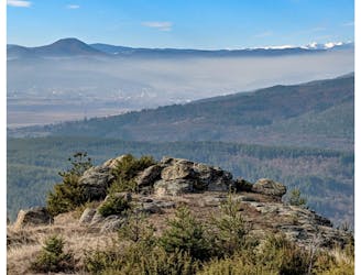
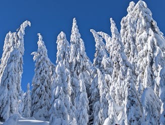
Kostandovo - Mel - Ushite
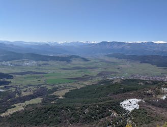
Hiking route from Kostandovo to Mel and Ushite area
Moderate Hiking
- Distance
- 6.9 km
- Ascent
- 597 m
- Descent
- 207 m
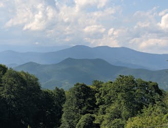
Go hiking in Pazardzhik with curated guides of the best hikes across the region. With over 54 3D trail maps in FATMAP, you can easily discover and navigate the best trails in Pazardzhik.
No matter what your next adventure has in store, you can find a guide on FATMAP to help you plan your next epic trip.
Get a top hiking trail recommendation in Pazardzhik, or get inspired by the 54 local adventures uploaded by the FATMAP community. Start exploring now!
Hiking route from Kostandovo to Mel and Ushite area
Moderate Hiking
Hiking route from Kostandovo train station to Tsepina fortress
Moderate Hiking
Hiking route following the highest ridge of Alabak
Difficult Hiking

Hiking route on the hills east of Velingrad
Moderate Hiking
Hiking route from Garalov Chark to Mt Syutka
Difficult Hiking
Hiking route from Velingrad to Blatza area.
Moderate Hiking
Hiking route from Velingrad to Mt Syutka
Difficult Hiking
Hiking route from Velingrad to Yundola via Mt Ostrets
Moderate Hiking