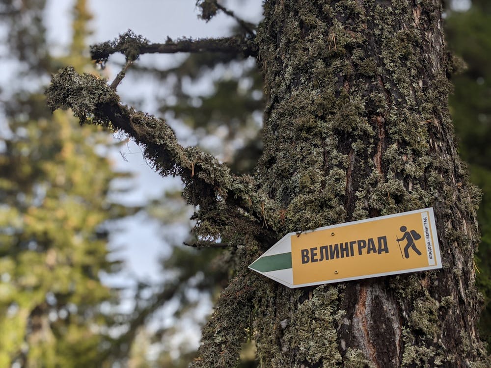
Velingrad - Pechenek - Kladova
Hiking route from Velingrad to Kladova
Hiking Moderate
- Distance
- 7.6 km
- Ascent
- 875 m
- Descent
- 31 m
- Duration
- 2-3 hrs
- Low Point
- 787 m
- High Point
- 1.6 km
- Gradient
- 10˚

English translation below
- •
- •
- •
- •
- •
- •
- •
- •
- •
Description
Кратко описание на маршрута
0.0 км - начало на маршрута в центъра на квартал Каменица;
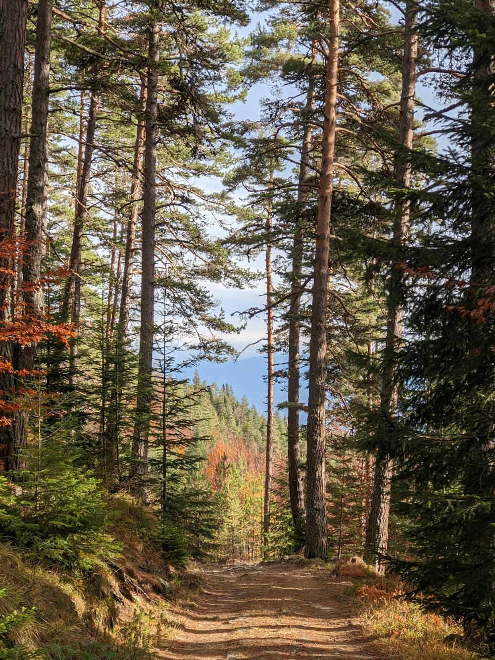
1.0 км - в края на квартала поемате по маркиран със зелено горски път между стопанските постройки;
1.7 км - навлизате в гората и пътеката започва да се изкачва по склоновете на Елин връх;
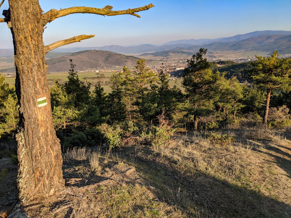
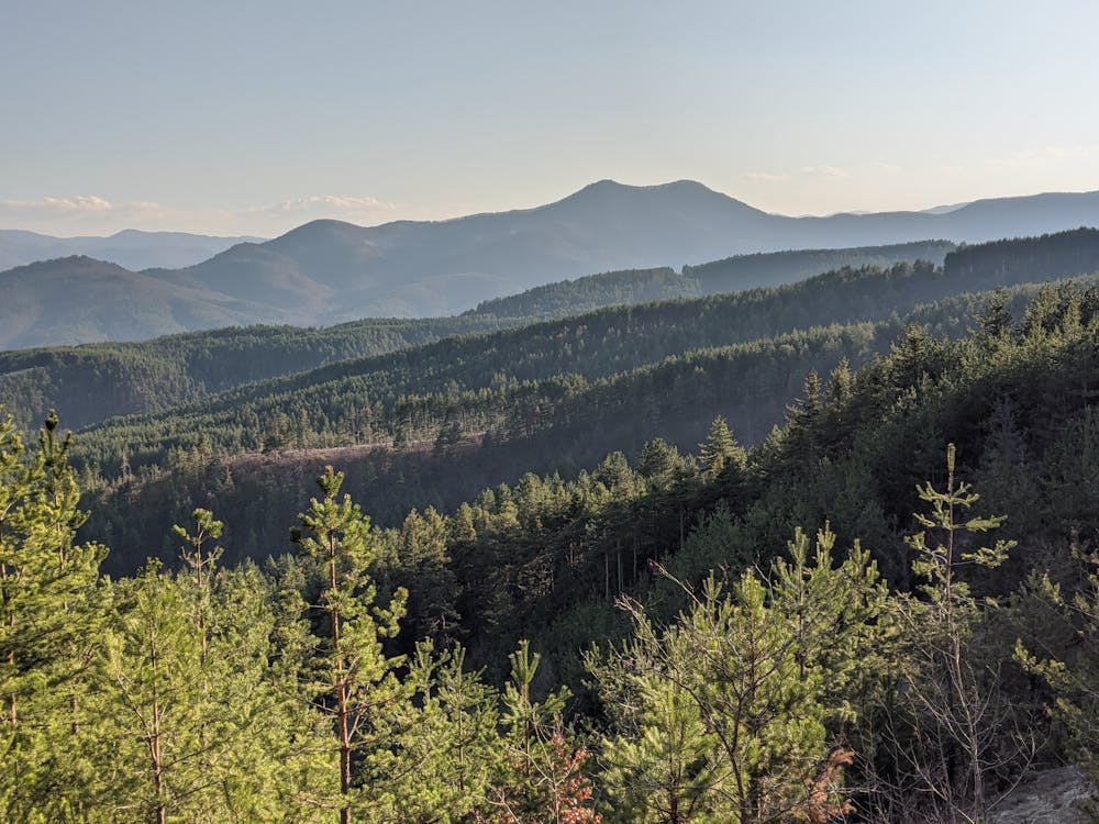
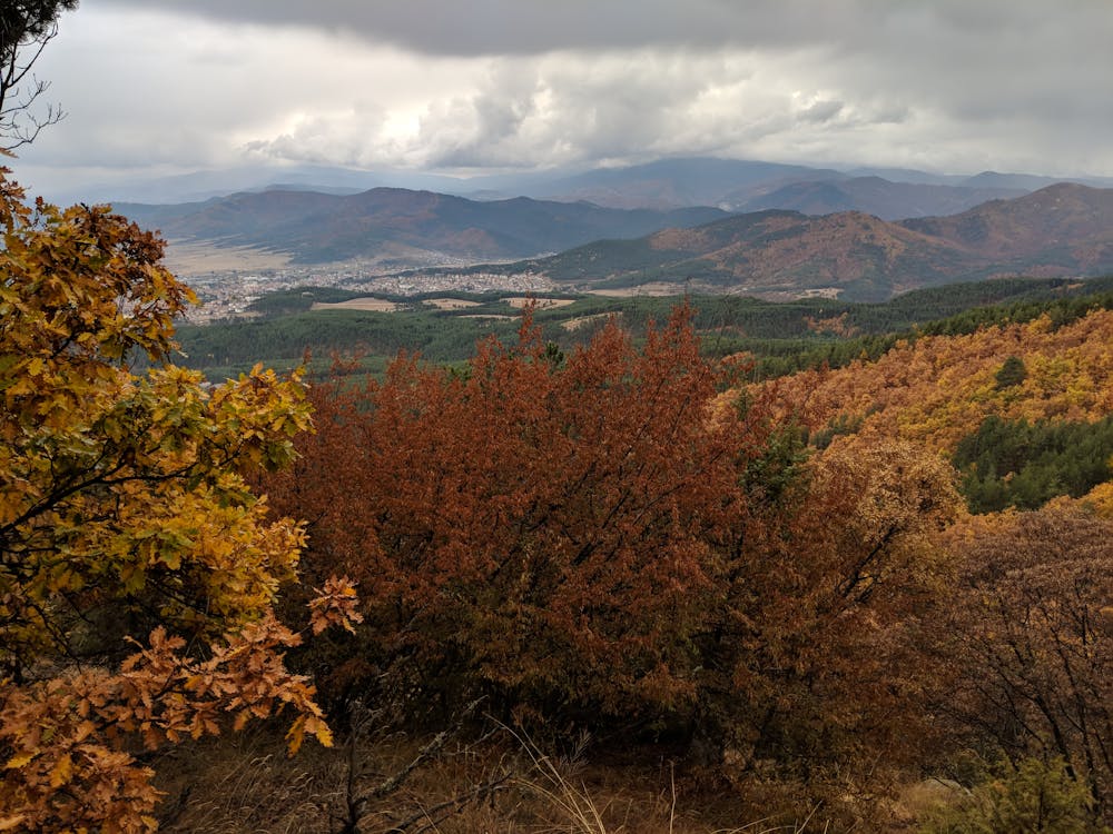
3.1 км - хубава гледка към Чепинската котловина вляво от пътеката;
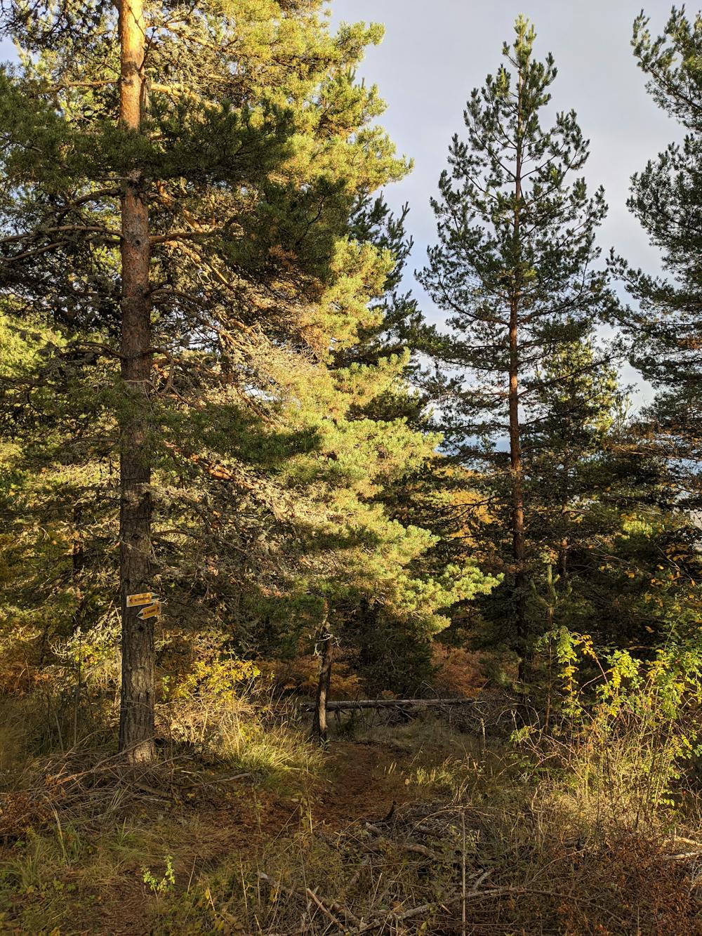
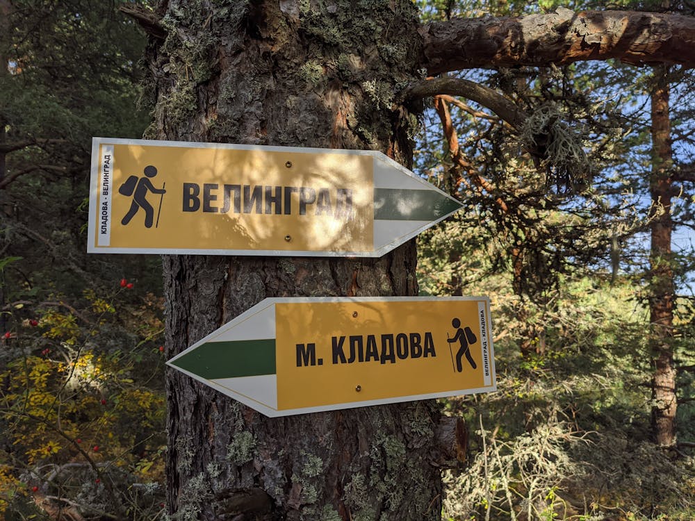
3.6 км - пресичате пътеката от Драгиче към Уличките и Стария чарк. Продължете направо по маркиранта със зелено пътека;
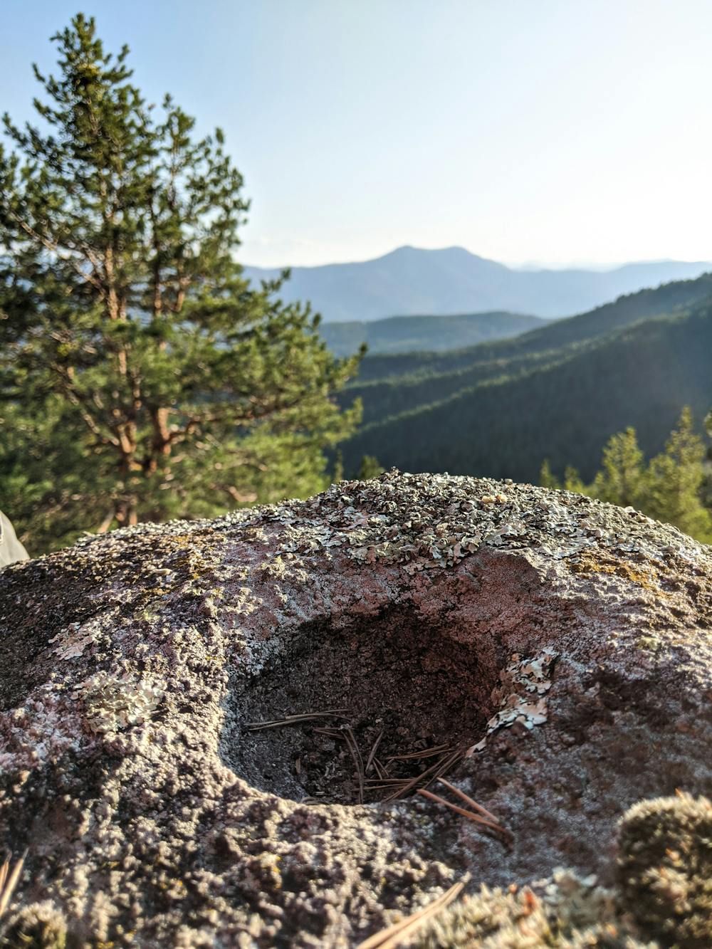
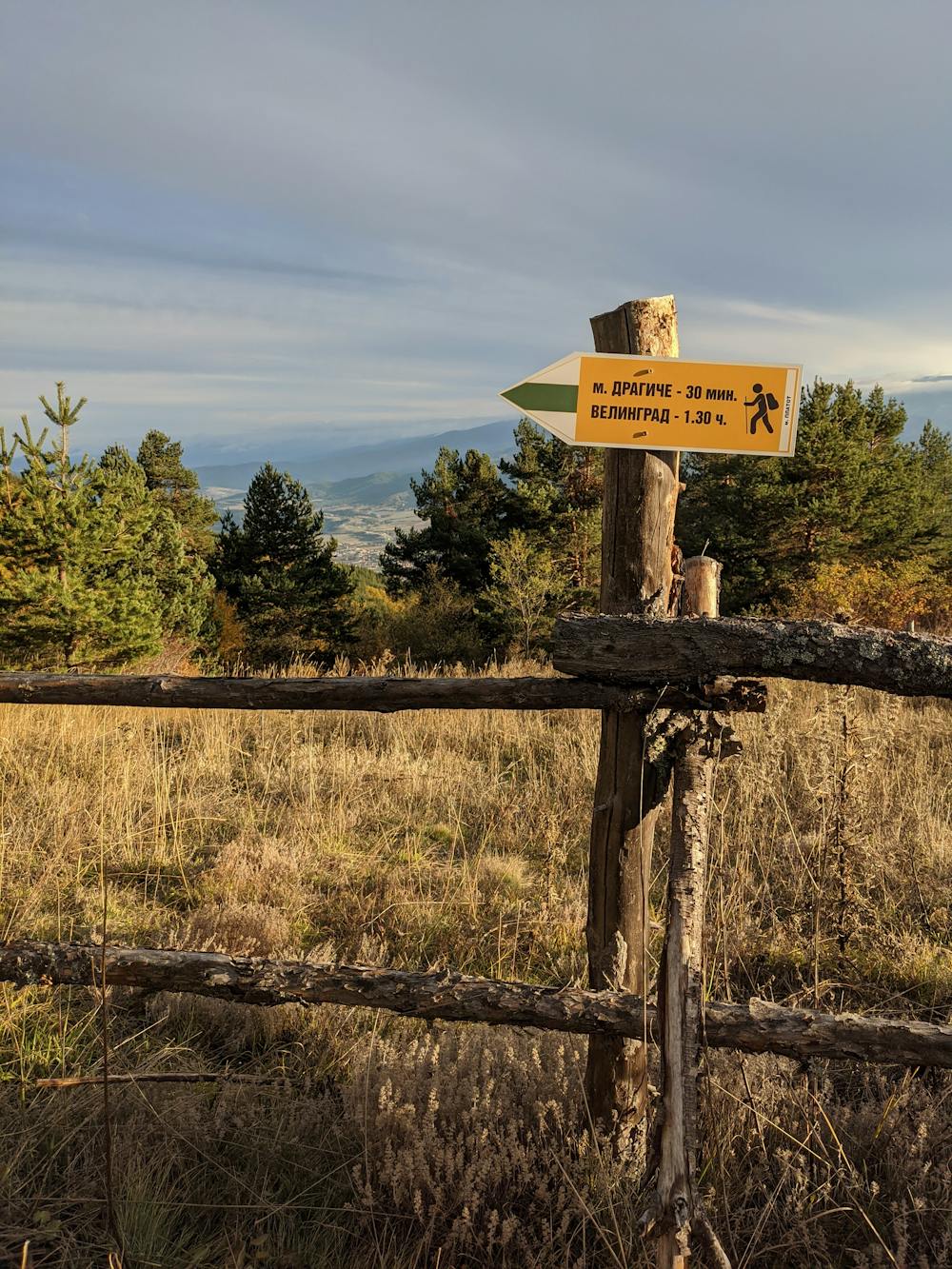
5.2 км - местност Платот. Открива се хубава гледка към околностите на Велинград. Пресичате горския път и продължавате по маркираната пътека напред; 5.8 км - местност Печенек. Вляво от пътеката се намира Печенешката скала, от която се открива гледка към склоновете на Алабак и Чепинската котловина. Маршрута продължава напред по горски път;
7.2 км - достигате долната Кладовска поляна. Вляво от пътя има заслон;
7.6 км - достигате сградата на бившата хижа “Кладова”. Край на маршрута.
Short description of the route
0.0 км - the center of Kamenitsa neighbourhood is where the starting point of the route is;
1.0 км - at the end of the neighbourhood you will find farm buildings among which there's a path marked in green color;
1.7 км - enter the forest and the path will start climbing the hillsides of Elin peak;
3.1 км - beautiful viewpoint of Chepinska hollow on the left side of the path;
3.6 км - crossing the path of Dragiche - Ulichkite - Staria chark. Keep straight on the green marked path;
5.2 км - "Platot" area where a nice view of Velingrad unfolds. Continue walking on the green marked path by crossing the forest road;
5.8 км - "Pechenek" area. On the left side of the path you will find "Pecheneshka" rocks formation with a view of "Alabak" hillside and "Chepinska" hollow. The path continues down the forest road;
7.2 км - "Kladovska" meadow. There's a shelter on the left side of the path;
7.6 км - the old building of "Kladova" hut. End of the route.
Difficulty
Moderate
Hiking along trails with some uneven terrain and small hills. Small rocks and roots may be present.
Low Exposure

The path is on completely flat land and potential injury is limited to falling over.
Remoteness

Away from help but easily accessed.
Best time to visit
Features
- Picturesque
- Dog friendly
- Wild flowers
- Forestry or heavy vegetation