47 m away
Skyline Trail
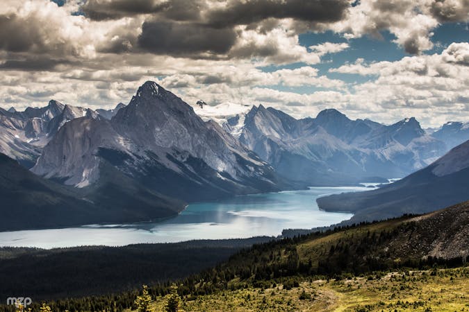
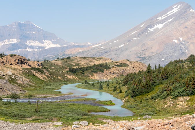
One of Canada's most spectacular overnight treks, Skyline Trail traverses many kilometers high above treeline in the Rocky Mountains of Jasper National Park.
Difficult Hiking
- Distance
- 43 km
- Ascent
- 1.5 km
- Descent
- 2 km
Hike from Maligne Lake to a panoramic ridge high above the treeline.
Hiking Moderate

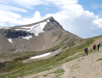
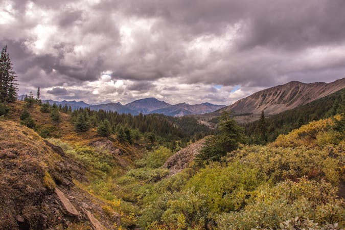
This is a popular hike that starts from Maligne Lake and gets way above the trees for some epic views. Beginning on a fire road in thick forest, it isn’t very interesting at first, but keep going and eventually you’ll get to a huge panorama The fire road goes all the way to the ridgeline before turning to a trail, but there’s an opportunity to shorten the uneventful walk on this dirt road by taking a steep trail that goes directly to the ridgeline. This shortcut option is the route mapped here. If you come to the junction and the trail looks too steep, simply stay on the road. It will lengthen your hike by about 1 km each direction but the gradient remains moderate.

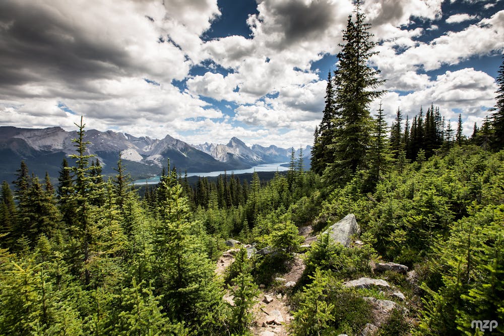
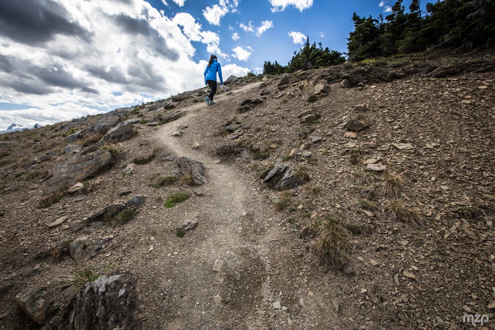
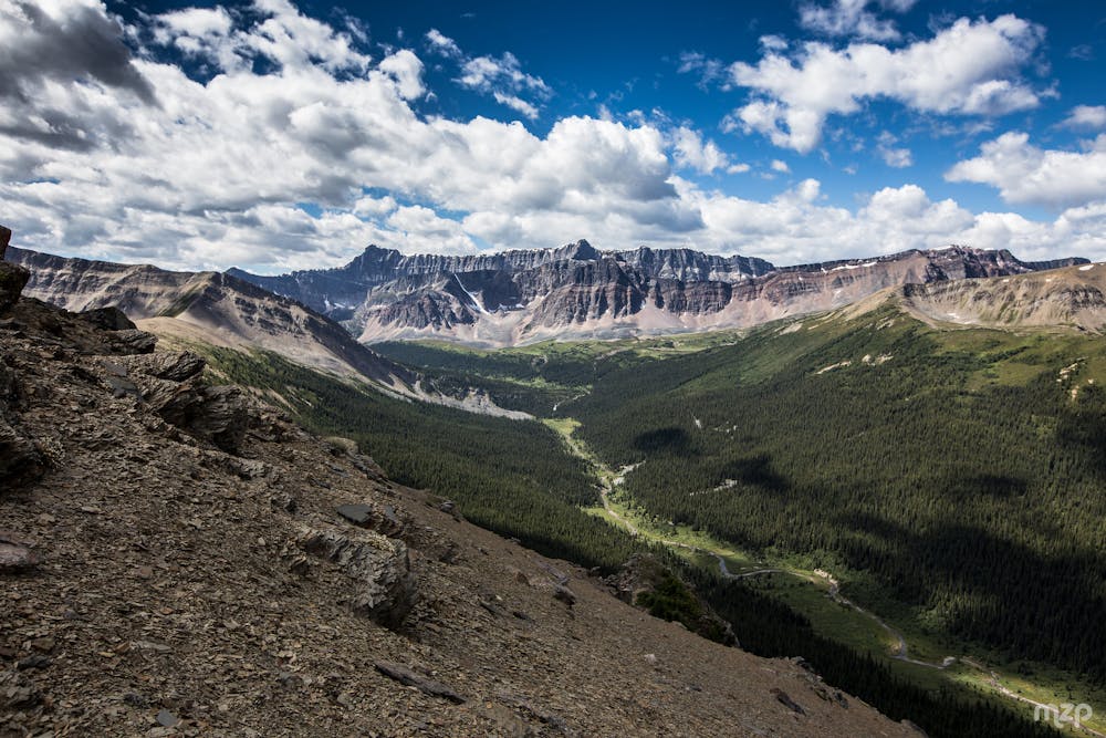
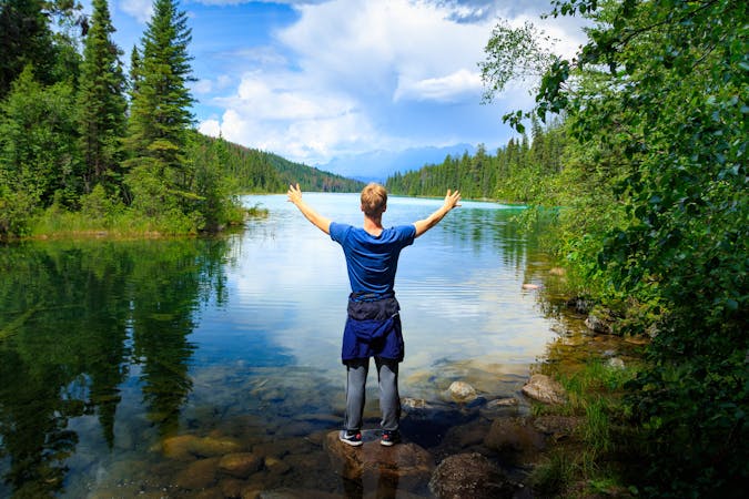
The upper reaches of the hike are through sparse conifers on a carpet of vibrant moss, with views between the trees to Maligne Lake behind you. Soon the trees disappear altogether, and a footpath leads across the rocky, bald ridgeline. Be prepared to encounter snow up here unless it's midsummer. This section is the real reward of the hike, with views over the lake, surrounding peaks, and another valley on the other side. The trail continues all along the ridge, but one distinct summit makes a good turnaround point, where large rocks make good benches and windbreaks. Relax here and take in the view, then return the way you came.
Note that dogs are not allowed on this trail in order to protect caribou habitat.
Sources: https://www.pc.gc.ca/en/pn-np/ab/jasper/activ/activ-experience/sentiers-trails http://www.albertawow.com/hikes/BaldHillsHike/BaldHillsHike.htm
Moderate
Hiking along trails with some uneven terrain and small hills. Small rocks and roots may be present.

The trail contains some obstacles such as outcroppings and rock which could cause injury.
Away from help but easily accessed.
47 m away
One of Canada's most spectacular overnight treks, Skyline Trail traverses many kilometers high above treeline in the Rocky Mountains of Jasper National Park.
Difficult Hiking
676 m away
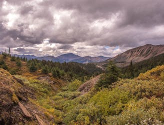
A hike into a colorful subalpine valley beginning from Maligne Lake.
Moderate Hiking
9 routes · Hiking
6 routes · Hiking
5 routes · Hiking
8 routes · Hiking