8 km away
Big Sister | C'est Notre Monde
A steep scramble to a mythical summit in the Canadian Rockies
Extreme Hiking
- Distance
- 5.5 km
- Ascent
- 1.2 km
- Descent
- 1.2 km
Quick and close to town, but challenges your fitness.
Hiking Difficult

The trail starts off the road, but sometimes it's tough to locate the exact trailhead. You will switch back up a steep section, which seems to be the theme of this mountain. You hit steep sections, then it flattens out to offer a break.
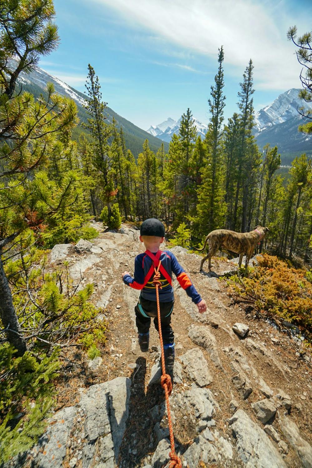
You will need to pay attention and select the route best for you. There are a few options, but you want to make sure you stay on the shoulder of the mountain and not get sucked into the trails that lead to the face of the mountain.
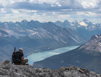
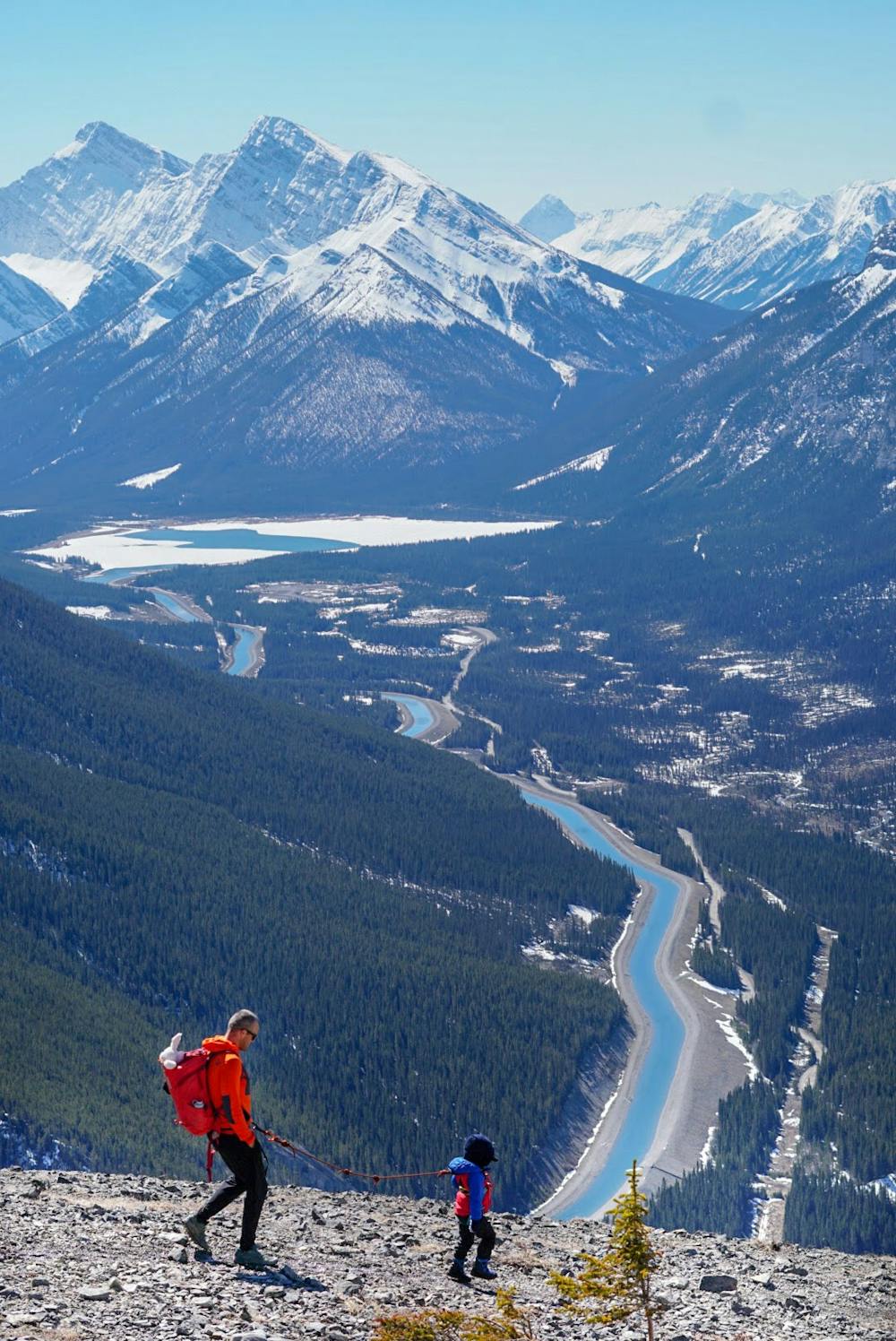
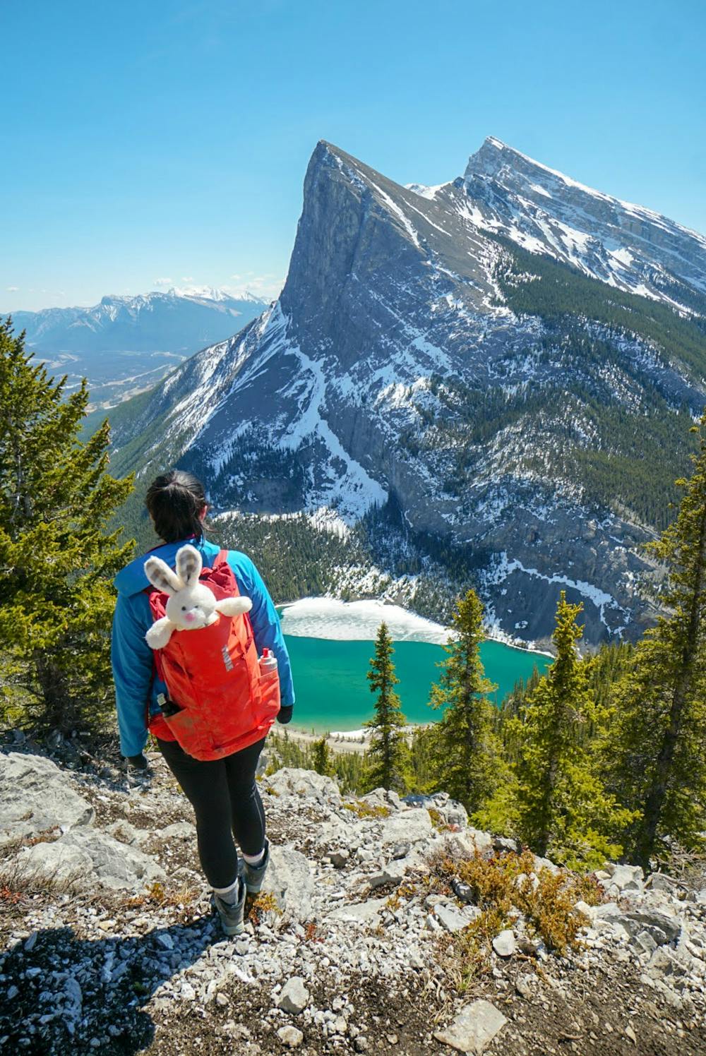
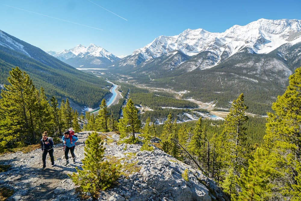
You will reach a large open alpine meadow where you can relax. Most people stop here. There are massive cliffs with a sheer drop-off that overlooks the town of Canmore and offers a great view of Ha Ling.
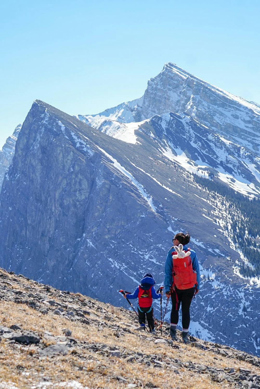
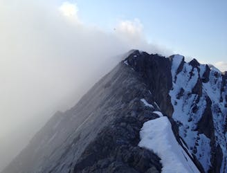
If you continue on past here, there are two routes you can take. One is on the shoulder, which is more technical, and one that is the traditional route. If you are heading up to the peak, I would recommend wearing a helmet as there is a shelf that will drop rocks directly onto you if there is someone above you.
The top part has some scree mixed on top of the rock slab, making it a bit tricky at times. Once you make it to the top, you can explore the ridge for a ways.
Difficult
Hiking trails where obstacles such as rocks or roots are prevalent. Some obstacles can require care to step over or around. At times, the trail can be worn and eroded. The grade of the trail is generally quite steep, and can often lead to strenuous hiking.

Some trail sections have exposed ledges or steep ascents/descents where falling could cause serious injury.

Away from help but easily accessed.
8 km away
A steep scramble to a mythical summit in the Canadian Rockies
Extreme Hiking
9.5 km away
Scramble to the Summit of Lady Mac
Extreme Hiking