9.5 km away
East End of Rundle (EEOR)
Quick and close to town, but challenges your fitness.
Difficult Hiking
- Distance
- 4.9 km
- Ascent
- 829 m
- Descent
- 829 m
Scramble to the Summit of Lady Mac
Hiking Extreme

The hike up Lady Macdonald is a fairly straightforward if steep climb. Most will stop here and enjoy the view. Fewer press on up the steep slope to the summit. Fewer still press on to the true summit.
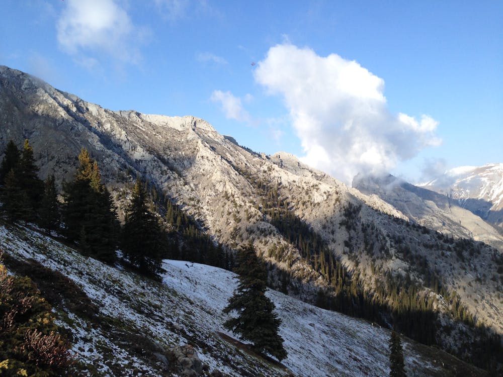
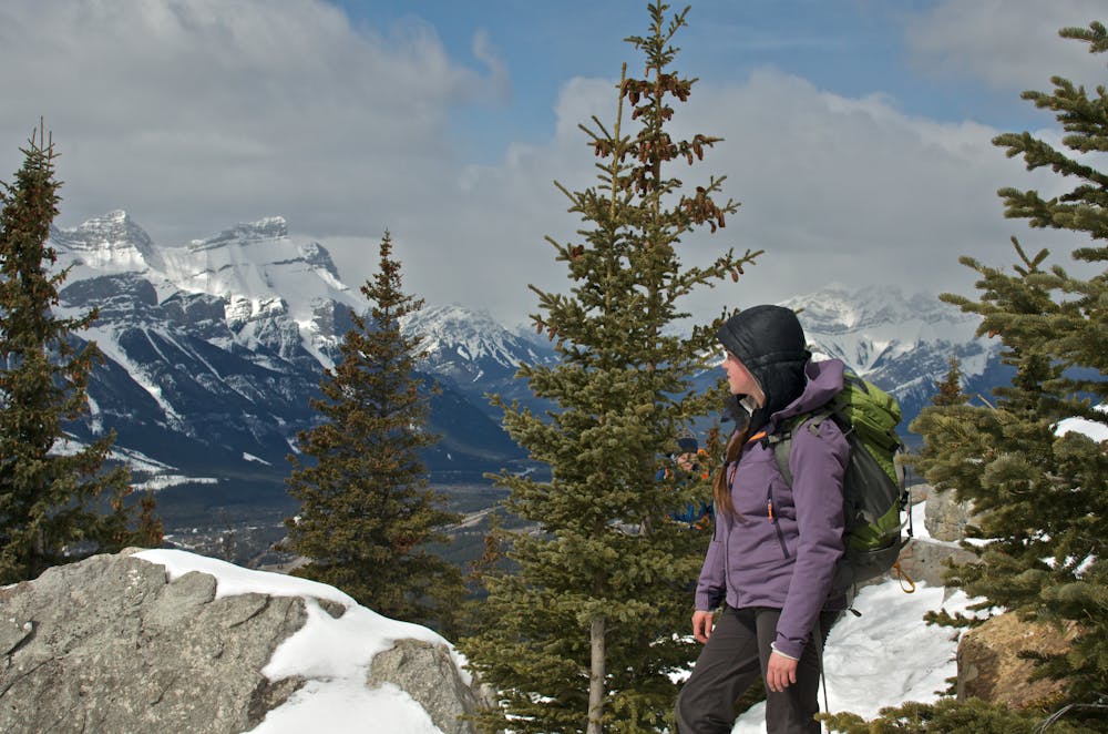
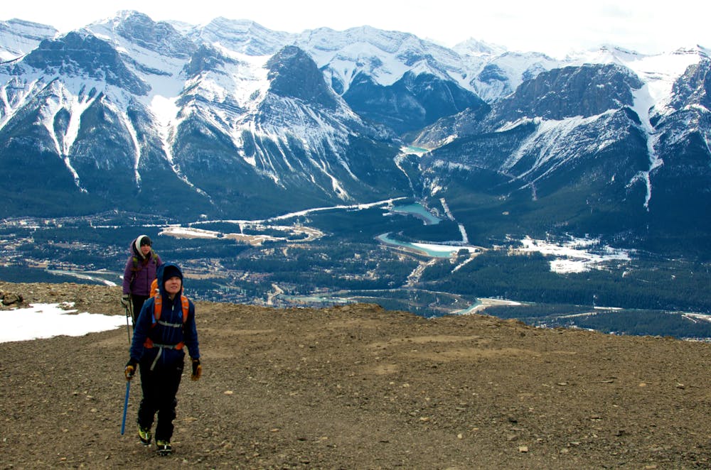
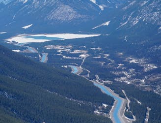
The route begins along Cougar Canyon. The warren of trails can make it a little tricky, but the steep uphill section about 400m past the houses is where you want to go. There are signs. The trail climbs the ridge becoming rockier, and steeper as you climb before return to the ridge, where it flattens at the site of the old tea house. Now just a platform many stop here.
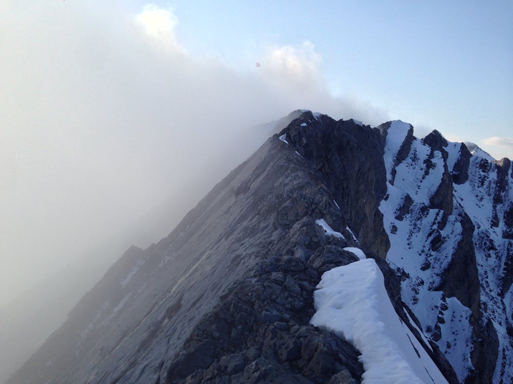
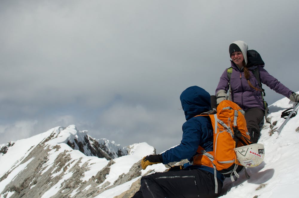
To the false summit it is trickier. Many scramblers have found themselves off route ascending and descending this section, and rescues here are quite common. The most obvious ascent is a bit steep, and very loose scree that follows the line of the South Ridge. Alternatively there is a well tracked divet in the scree that traverses the western face. If you lose the trail stop it's best to stop and carefully plan your next move. Look for signs of obvious human passage. Do not try and find shortcuts as this is how most people get cliffed out and end up summoning a helicopter. The best descent is on the traverse across the face.
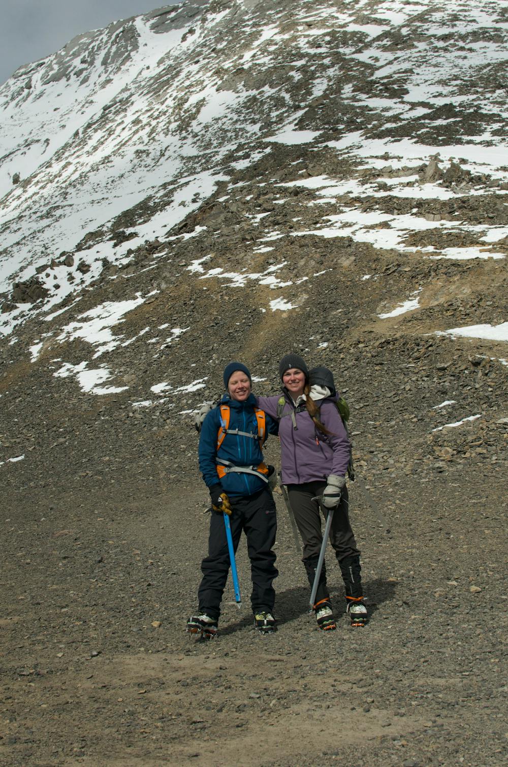
The final push to the summit sees even fewer ascents though the route finding is much more straightforward. The ridge is narrow, but manageable to a small notch. This notch is a slabby downclimb with tiny holds. Approach shoes will make it much easier. From there it's a quick jaunt to the summit.
Extreme
Scrambling up mountains and along technical trails with moderate fall exposure. Handholds are necessary to navigate the trail in its entirety, although they are not necessary at all times. Some obstacles can be very large and difficult to navigate, and the grades can often be near-vertical. The challenge of the trail and the steepness of the grade results in very strenuous hiking. Hikes of this difficulty blur the lines between "hiking" and "climbing".

Some trail sections are extremely exposed where falling will almost certainly result in serious injury or death.

Close to help in case of emergency.
9.5 km away
Quick and close to town, but challenges your fitness.
Difficult Hiking