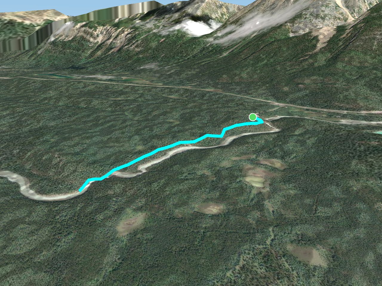
6 km away
Six Passes Trail Day 2
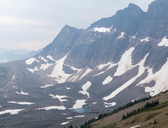
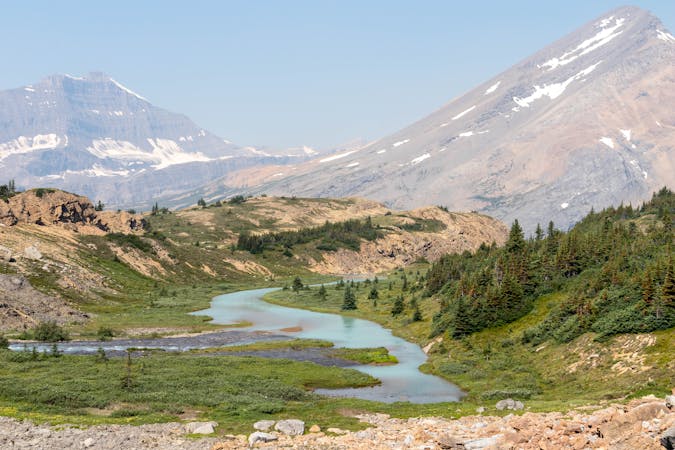
Another day in the Jaspers stunning backcountry, before returning to civilization at Maligne Lake.
Severe Hiking
- Distance
- 25 km
- Ascent
- 1.6 km
- Descent
- 1.9 km
View an impressive waterfall in a tight gorge.
Hiking Easy
Sunwapta Falls is a popular stop along the Icefields Parkway, the road between Banff and Jasper National Parks. Here, the Sunwapta River funnels through some narrow gorges on its way to join the Athabasca River. The Upper Sunwapta Falls is a roadside stop, very easily accessible and thus frequently visited. The Lower Falls, however, is less crowded because you must hike to get there. The trail is not too difficult or lengthy, however, so you can still complete as a quick jaunt, then be on your way to another destination in the national park.
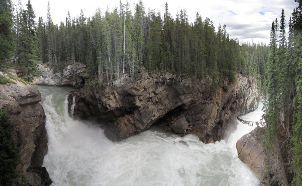
You can briefly visit the upper falls, then continue along the trail to the lower. You’ll hike through a forest that has naturally regrown following a wildfire, now with an abundance of young but tall trees and lush understory. The highlight is, of course, the waterfall, a two-tiered drop with a tumultuous pool between cascades. There are a few good viewpoints, elevated on the rim of the gorge and protected with fences.
Sources: https://www.pc.gc.ca/en/pn-np/ab/jasper/activ/itineraires-itineraries/sunwapta https://www.pc.gc.ca/en/pn-np/ab/jasper/activ/activ-experience/sentiers-trails/glaciers-icefields
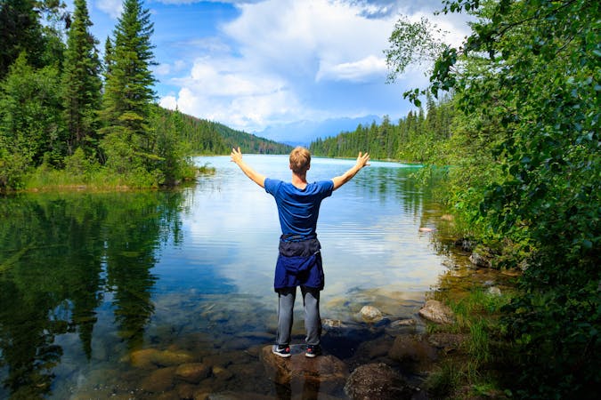
Easy
Walking along a well-kept trail that’s mostly flat. No obstacles are present.

The path is on completely flat land and potential injury is limited to falling over.
Close to help in case of emergency.
6 km away
Another day in the Jaspers stunning backcountry, before returning to civilization at Maligne Lake.
Severe Hiking
9 routes · Hiking
8 routes · Hiking