50 m away
Six Passes Trail Day 1
A beautiful hike that takes you deep into Jasper's backcountry.
Severe Hiking
- Distance
- 24 km
- Ascent
- 1 km
- Descent
- 772 m
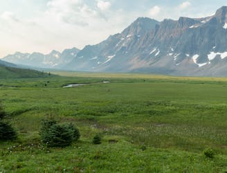
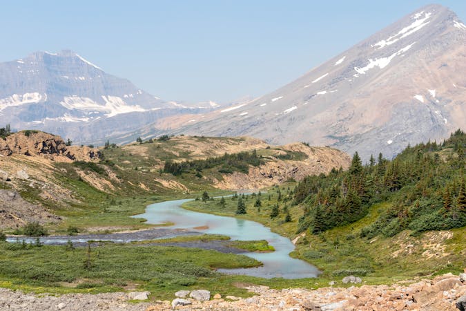
A wild & remote adventure over the beautiful Maligne Pass.
Hiking Difficult

The Maligne Pass trail is the traditional route on the Great Divide Trail to get from Pobokton campground to Maligne Lake.
The trail was decommissioned by Parks Canada, which led to many hikers taking the longer, but more scenic 6 Passes alternate. Unfortunately, that trail is currently closed, meaning the only way through this area in 2022, is using the decommissioned Maligne Pass trail.
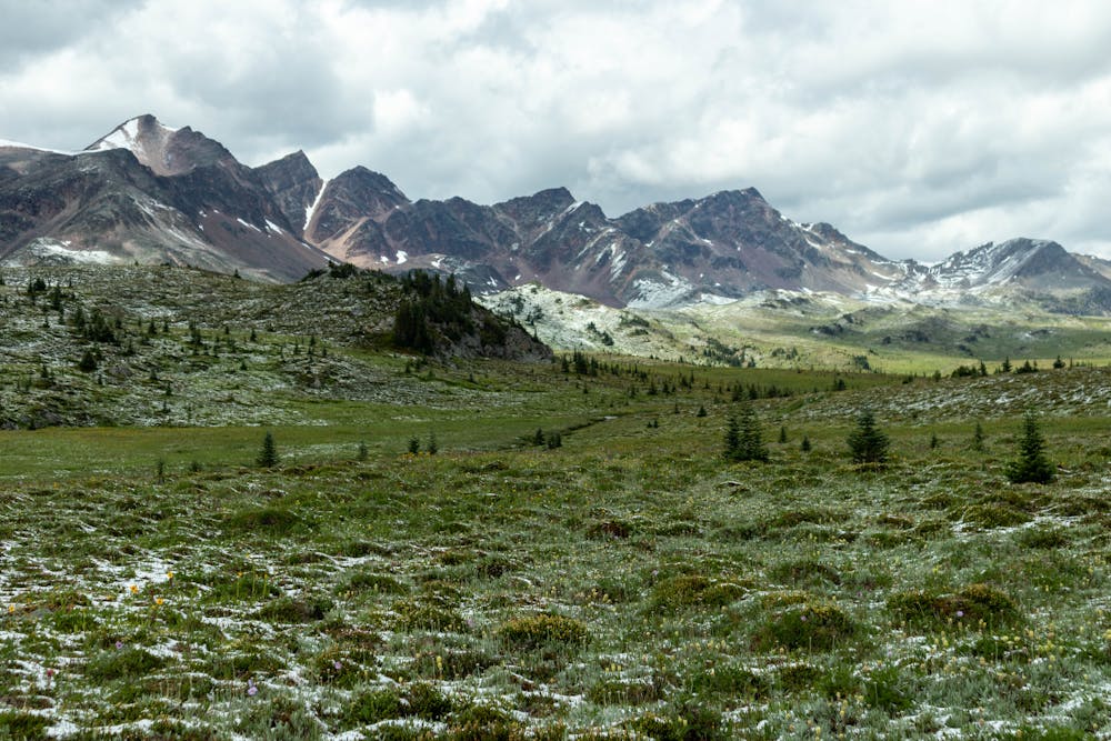
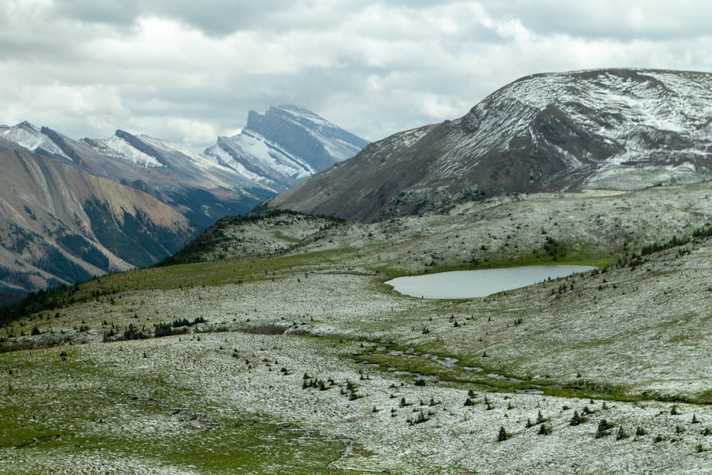
The trail starts at Pobokton Campground, before heading over the beautiful Maligne Pass. This pass is the high point of this route and has some magnificent views of the surrounding mountains.
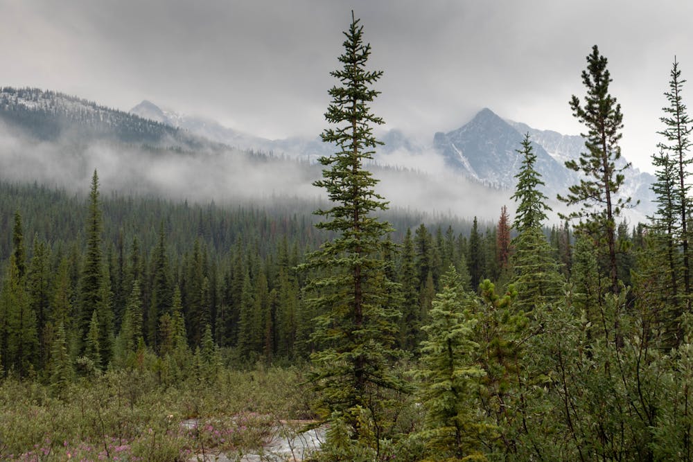
Unfortunately, the views don't last, as you quickly descend back below the treeline. That's where this trail can become quite challenging. The trail is no longer maintained & hasn't been for a number of years.
The lack of maintenance means you will have to do some bush whacking, as it's slowly becoming overgrown & littered with deadfall. The deadfall is probably the most frustrating part, as it really slows progress on what would otherwise be a reasonable fast route.
The bridges on this route are also not maintained. Some are damaged but usable, but generally you will have to find you own place to cross or use natural bridges such as fallen trees.
As this is a long route, most people camp at one of the four campgrounds. They can all be booked online via Parks Canada's reservation system, but they are restricted to 1 group per day. So you need to book early to ensure you get a spot.
Although this isn't the most scenic trail, it's still a wild and remote adventure, which is one of the things that makes the Great Divide Trail so special.
Once you arrive at the picturesque Maligne Lake, take some time to enjoy the beautiful lake before heading onto the the spectacular Skyline trail.
Difficult
Hiking trails where obstacles such as rocks or roots are prevalent. Some obstacles can require care to step over or around. At times, the trail can be worn and eroded. The grade of the trail is generally quite steep, and can often lead to strenuous hiking.

The trail contains some obstacles such as outcroppings and rock which could cause injury.

Little chance of being seen or helped in case of an accident.
50 m away
A beautiful hike that takes you deep into Jasper's backcountry.
Severe Hiking
8 routes · Hiking