8 routes · Hiking
A mainly forested route with plenty of river crossings & deadfall to negotiate before wild camping at Cataract Pass.
Hiking Severe

After a challenging first day hiking to Pinto Lake, the 2nd day on trail is significantly easier, with much less elevation to gain.
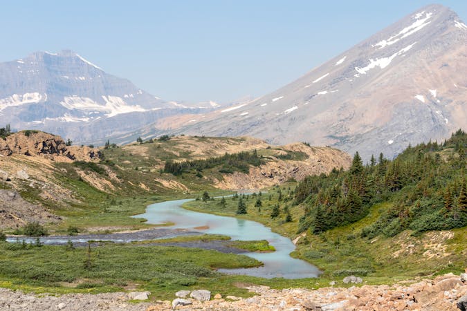
As you leave Pinto Lake, the first challenge of the day is fording the Cline River. The most common place to do this is at the outflow from Pinto Lake, but depending on river levels, you may find easier crossing points further down stream.
There is a well defined trail on the other side of the river, although it is hard to follow in a few places as this isn't a well trafficked area.
The trail along the Cline river can be very wet and has a number of smaller rivers that you will have to cross. Most of these have fallen trees over them acting as a natural bridge, but use these with extreme caution, as they are very challenging to cross safely.
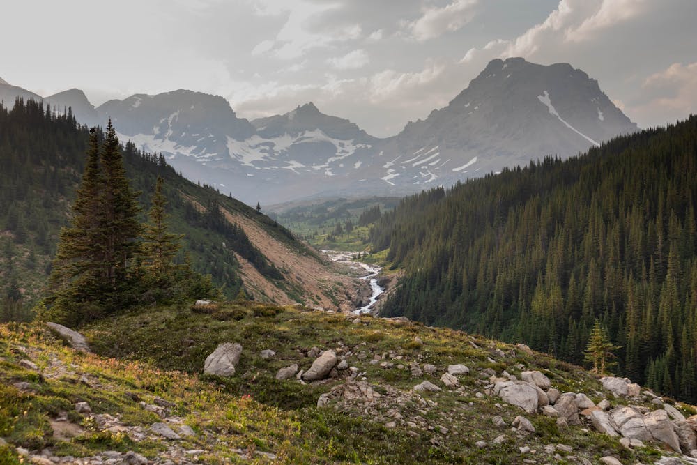
The trail eventually turns away from the river and heads up the valley towards Cataract Pass. This is a well defined trail that's easy to follow and makes for some pretty speedy hiking.
As this is a forested area that doesn't see much trail maintenance, you will encounter lots of dead fall. Expect to find yourself ducking and climbing over fallen trees the entire way up this valley.
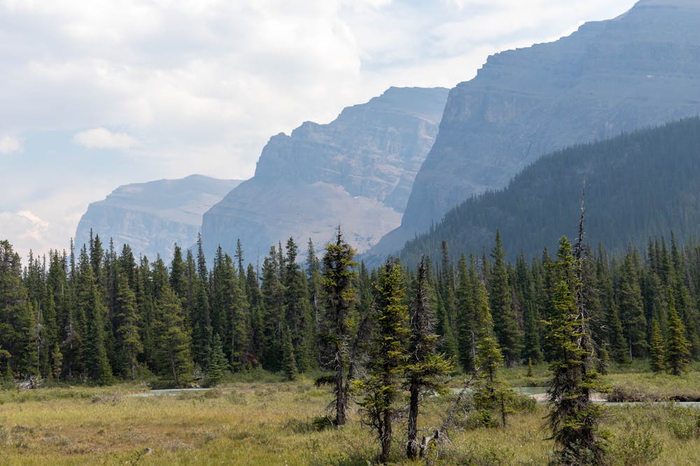
Just as you start to get close to Cataract Pass and think you are almost done with the day, you have some final route finding challenges that could add a significant amount of time to your day if you get them wrong.
It's very easy to just keep following the defined trail, especially as you will keep seeing rock cairns which make you think you are going the right way. But this trail eventually leads you into some extremely dense forest where it disappears, leaving you to do some extreme bushwhacking to find a good way out.
The route shown here tries to minimise the amount of bushwhacking you will have to do, and also gives you one less creek to cross.
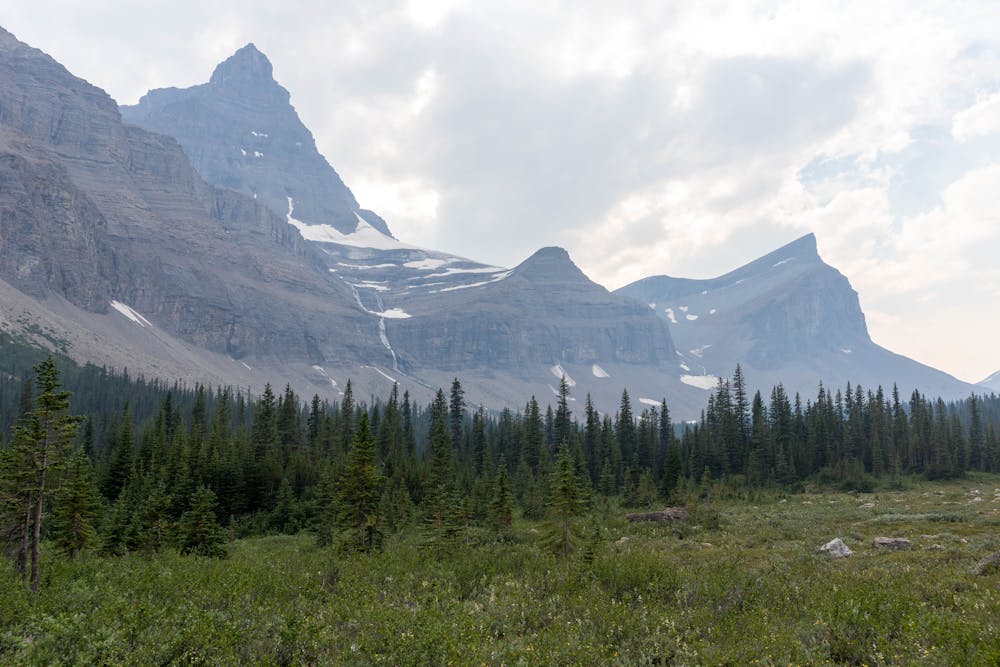
As you approach the meadows, follow the GPX track shown here to cross Cataract Creek. The south side of the creek is much more open which makes it much easier and faster to hike up. The route shown here is a rough guide through this area. There is no defined trail on this side of the creek, so you will need to use your own route-finding abilities to avoid some of the smaller obstacles.
You can follow the creek all the way to the base of Cataract Pass, which is where most people set up camp. This is an amazing area to camp with outstanding views and a killer sunrise & sunset.
Severe
Hiking challenging trails where simple scrambling, with the occasional use of the hands, is a distinct possibility. The trails are often filled with all manner of obstacles both small and large, and the hills are very steep. Obstacles and challenges are often unexpected and can be unpredictable.

The trail contains some obstacles such as outcroppings and rock which could cause injury.

In the high mountains or remote conditions, all individuals must be completely autonomous in every situation.
8 routes · Hiking