2 m away
Pyramid Mountain Lake Hike
Short hike from the end of the fire road to the tarn at the base of Pyramid Mountain.
Moderate Hiking
- Distance
- 2.1 km
- Ascent
- 137 m
- Descent
- 137 m
Route to the summit of Pyramid Mountain via the north ridge.
Hiking Extreme

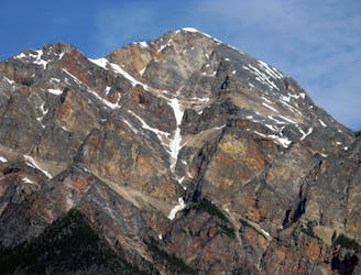
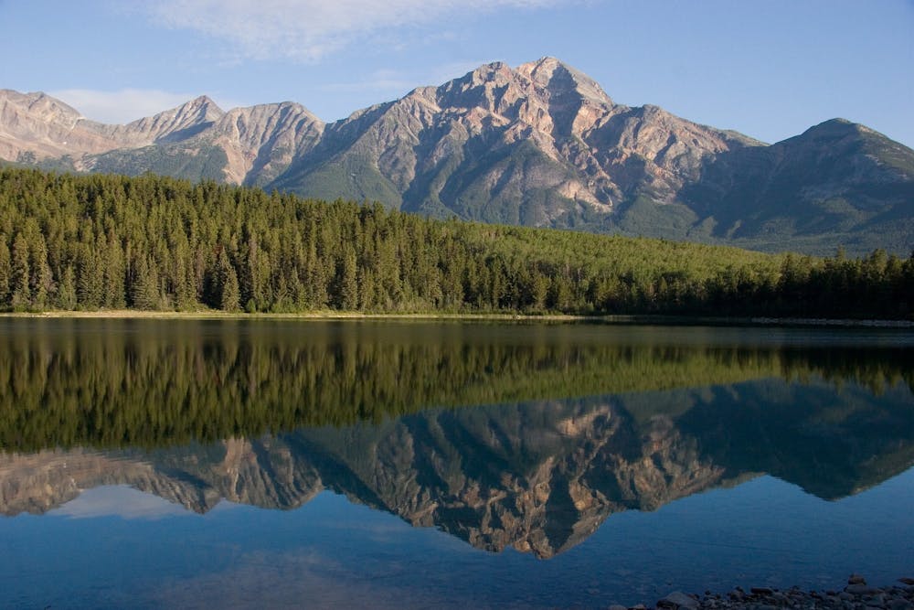
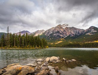
Pyramid Mountain is a token spectacle on the skyline over Jasper. It’s the huge peak that rises west of town and over the popular destination Pyramid Lake. This scrambler’s route on the north ridge is considered easy by mountaineering standards, but still requires a long day because of the approach. It’s best approached by biking the fire road that climbs from Pyramid Lake.
The road ends in a meadow at the base of the mountain. Once there, leave your bike and look for a trail that climbs the ridge. Follow it through the timberline and up steepening switchbacks to the ridge crest. A few simple scramble moves may be required to gain the crest, but once on top, the walking becomes much easier for a little while. The final kilometer or so steepens significantly, and you’ll alternate between steep hiking and hand-and-foot scrambling, crossing a few false summits along the way. There is mild exposure in a few places, but no significant difficulties under dry conditions. Once on top, you may be surprised to find a concrete slab leveling the summit. This was once the sight of a repeater tower, but it has been removed.
Sources: https://giantsgate.com/destinations/pyramidmountain/ http://bobspirko.ca/Jasper/Pyramid/Pyramid.htm
Extreme
Scrambling up mountains and along technical trails with moderate fall exposure. Handholds are necessary to navigate the trail in its entirety, although they are not necessary at all times. Some obstacles can be very large and difficult to navigate, and the grades can often be near-vertical. The challenge of the trail and the steepness of the grade results in very strenuous hiking. Hikes of this difficulty blur the lines between "hiking" and "climbing".

The trail contains some obstacles such as outcroppings and rock which could cause injury.

Little chance of being seen or helped in case of an accident.
2 m away
Short hike from the end of the fire road to the tarn at the base of Pyramid Mountain.
Moderate Hiking
5.1 km away
Scenic and convenient loop with a view over Jasper.
Easy Hiking
6 routes · Hiking