75 m away
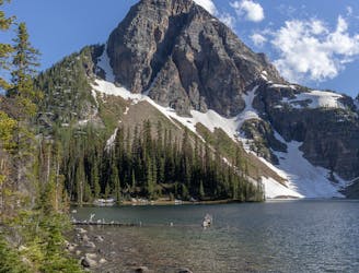
The Sunshine Meadow Loop
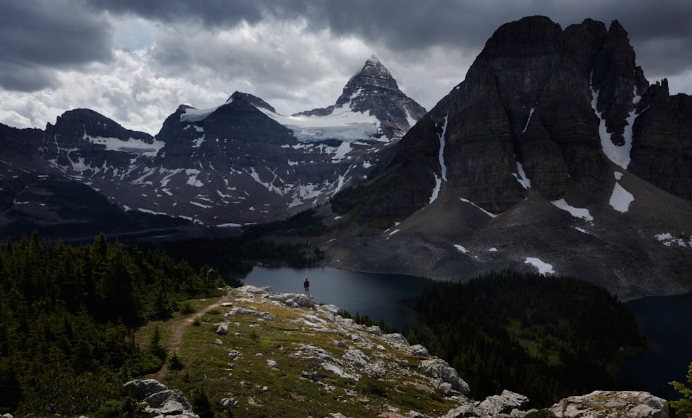
A figure-8 loop across the border into British Columbia that passes the Continental Divide and three pristine alpine lakes in Banff National Park.
Easy Hiking
- Distance
- 12 km
- Ascent
- 431 m
- Descent
- 431 m
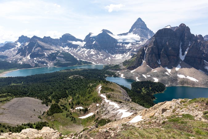
Through Hike Assiniboine
Hiking Difficult

This is a popular hiking route which is generally considered to be difficult. It's remote, it features medium exposure and is typically done between May and September. From a low point of 1.7 km to the maximum altitude of 2.4 km, the route covers 56 km, 1692 vertical metres of ascent and 2132 vertical metres of descent.
North to South hike for Mt Assiniboine Park
Difficult
Hiking trails where obstacles such as rocks or roots are prevalent. Some obstacles can require care to step over or around. At times, the trail can be worn and eroded. The grade of the trail is generally quite steep, and can often lead to strenuous hiking.

The trail contains some obstacles such as outcroppings and rock which could cause injury.
Away from help but easily accessed.
75 m away
A figure-8 loop across the border into British Columbia that passes the Continental Divide and three pristine alpine lakes in Banff National Park.
Easy Hiking
4.3 km away
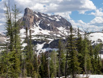
A popular hike with wildflowers and mountain views, plus a less-crowded extension to a remote alpine lake.
Moderate Hiking
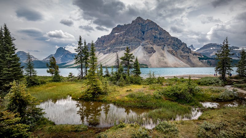
4.4 km away
A stunning day above the treeline with beautiful meadows and alpine lakes.
Difficult Hiking
4.4 km away
3 days in the heart of Banff National Park
Severe Hiking
8.8 km away
A steep, direct climb to one of the most amazing summits in Banff National Park.
Severe Hiking
5 routes · Hiking
6 routes · Hiking